Coming out of last year’s trip to Ecuador I was more or less resolved to head to Denali this year. It hadn’t been a goal of mine but it’s a prominent objective among the people I’ve gone climbing with the past couple years so there’s steady discussion about it. Our guide Nicole also told a fetching story about how her dad climbed Denali when she was about nine and she thought it the coolest thing ever. Alice obviously couldn’t assess me any cooler (multiple ways to read that). But it did raise the point that, nearly eleven now, she’s mature and independent enough to be left home alone a bit so Caitlin would be able to go riding and do things if I was away a couple weeks.
Hut-style climbing in Ecuador also highlighted my tenet that it’s helpful to have an objective, and summits make conceptually simple and physically-technically interesting ones. But the true call of the wild is just to be out there. Summits are focusing but the real draw is to be gone, to sublimate the whole of life into the real, the here and now. There’s a phase shift in the world that happens hiking/biking/running dawn-to-dusk or backpacking more than a long weekend, when you’re alone or alone-together and with tangible stakes in play. Set that in a barren mountainscape of rock, snow, cold and you’re in another, special, place entirely.
That’s Denali. On a standard itinerary you’re out there for at least two weeks, plus weather delays, camping on the glacier and snow pack. It has a burly summit day, often estimated at 12–20 hours, and its share of hazards. But the climbing is arguably dominated by endurance mental and physical: Hiking and camping day after day, much of it in sub-zero temperatures intermixed with periods of uncomfortable warmth, under continuously blazing sun or harsh winds and snow, with only brief opportunities to let down your guard against frostbite, sunburn, blindness, crevasses, and any other manner of falling or injury. It’s a couple weeks on the move in the endless winter of a place humans don’t belong, under constant vigilance over foot placement, rope security, sunscreen, nutrition, hydration, and absolutely not touching anything metal with bare hands, let alone just breathing in enough oxygen.
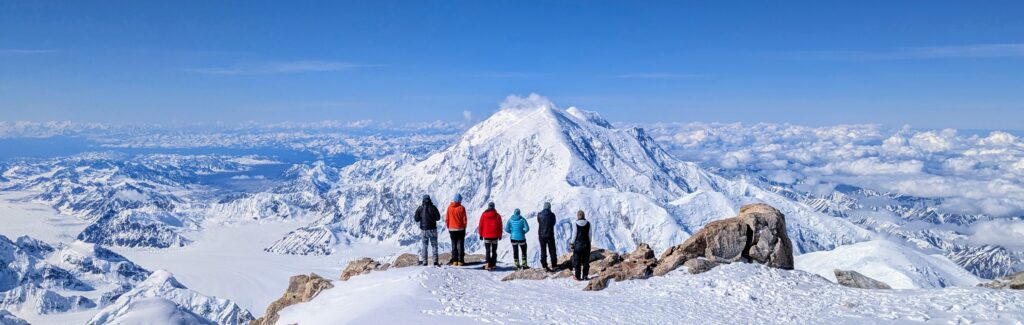
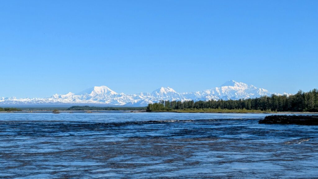
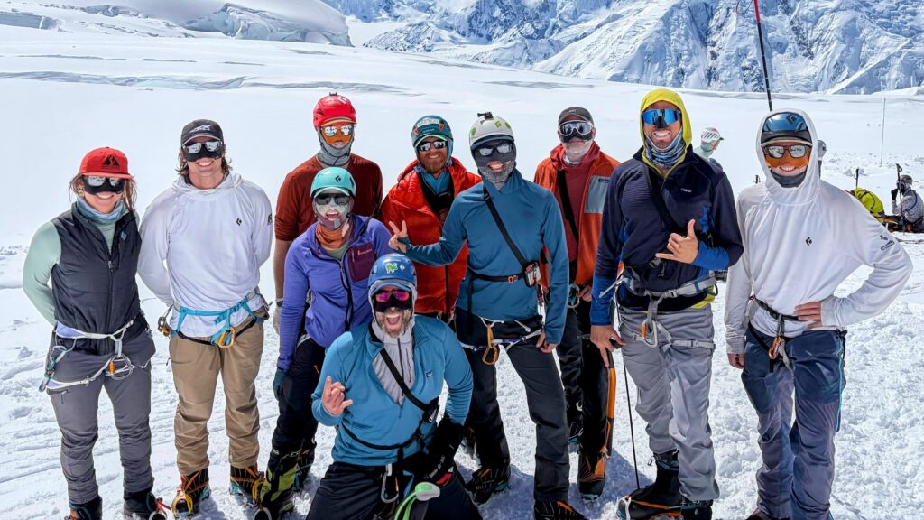
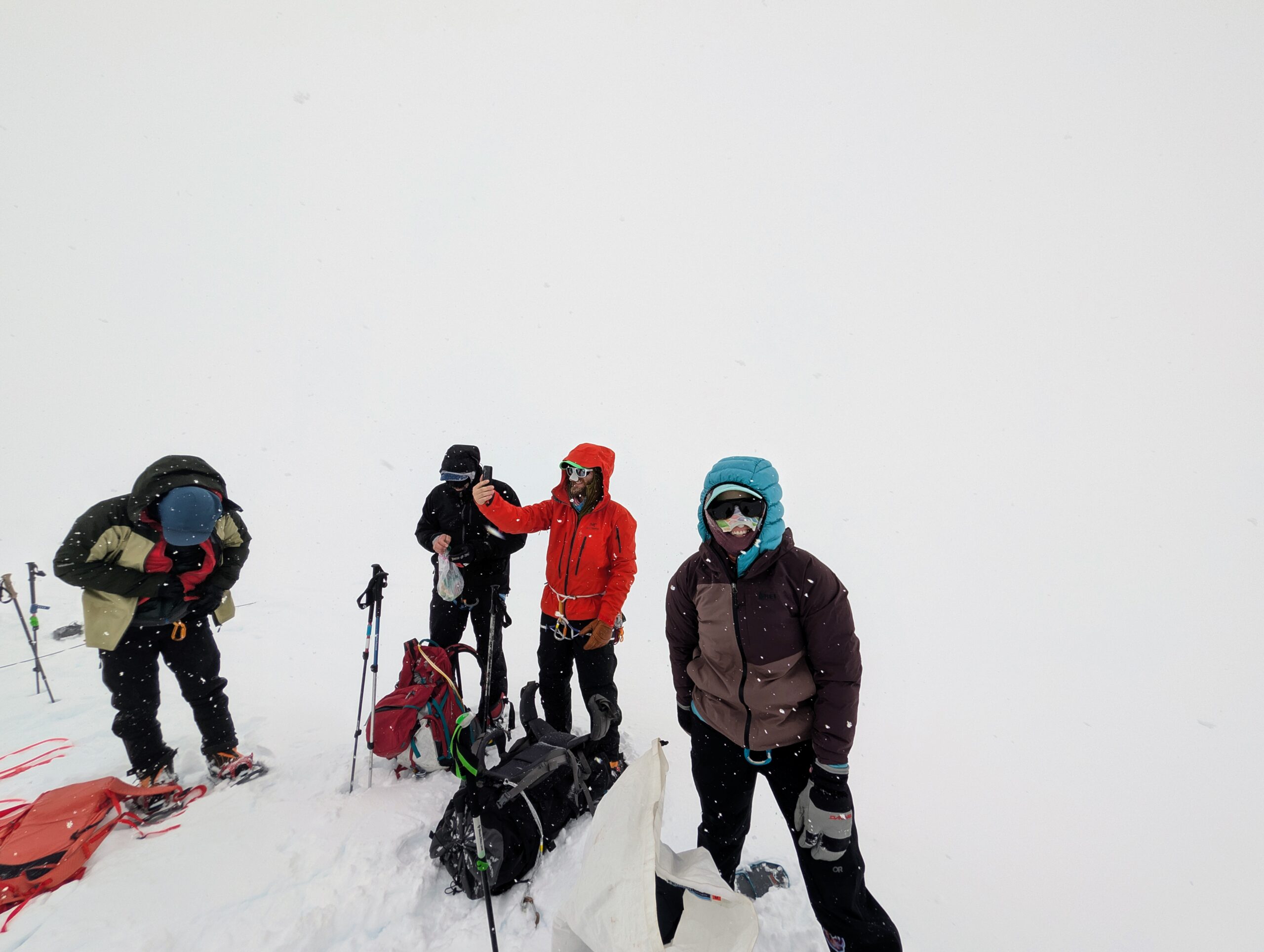
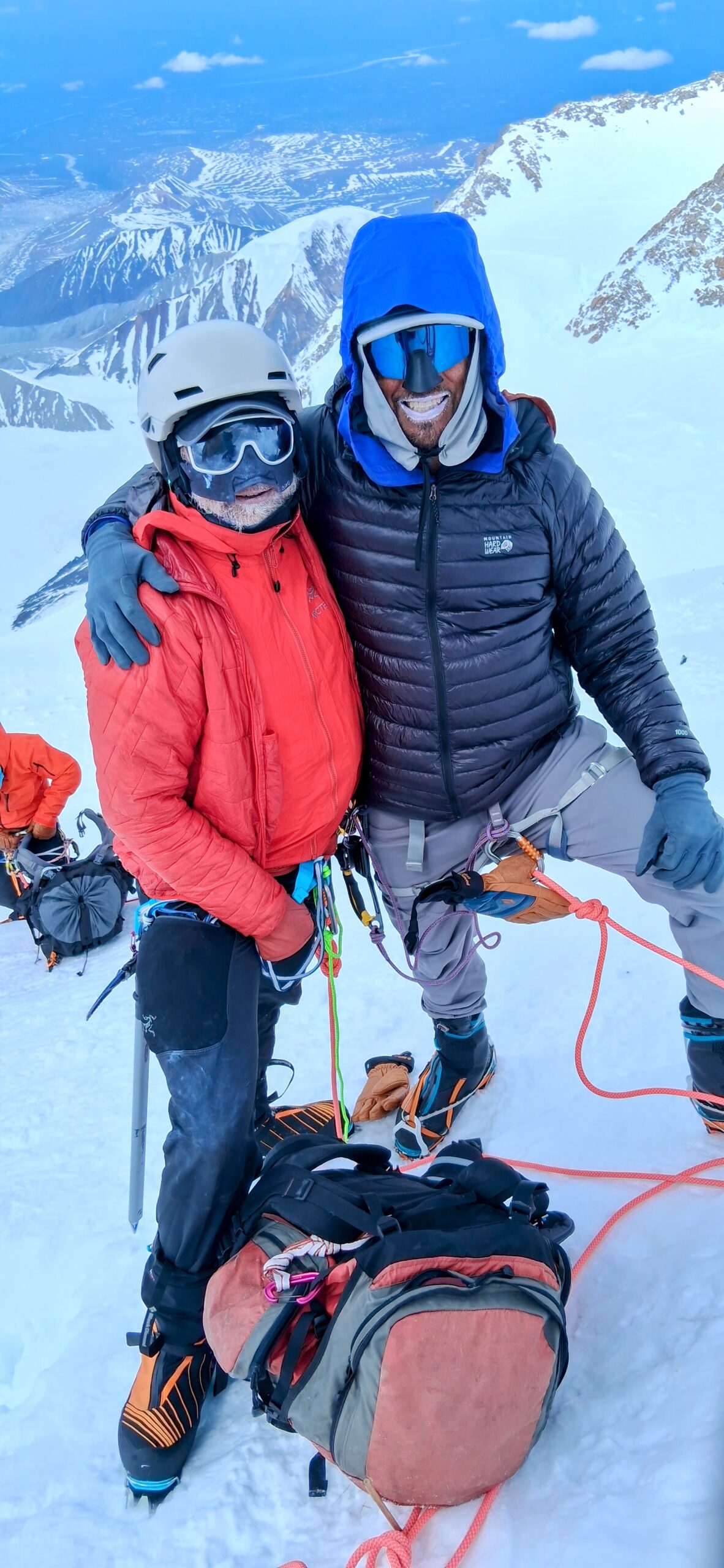
So this June I packed up my bags and headed to the Alaska Range. It did not disappoint. As a bonus, gifted with excellent weather and a strong team, our whole crew of ten all made it to the summit of Denali at ~20,300 feet and back in good order after 16 glorious days in the wild.
Team
As with my prior trips to Mt Rainier and Ecuador, this outing was lead by guides from RMI (Rainier Mountaineering International). Couple things I like about RMI:
- They’re well established on Rainier and Denali, so they have oft-used resources lined up and usually multiple teams on-mountain simultaneously and frequently able to work together.
- They’re more committed to Leave No Trace principles than most groups; e.g., on Denali it’s permitted to dispose of human waste in a giant persistent crevasse outside 14 Camp but RMI teams carry everything out.
- They have a high proportion of women guides and all of the guides come across as a tight network of friends, not just co-workers.
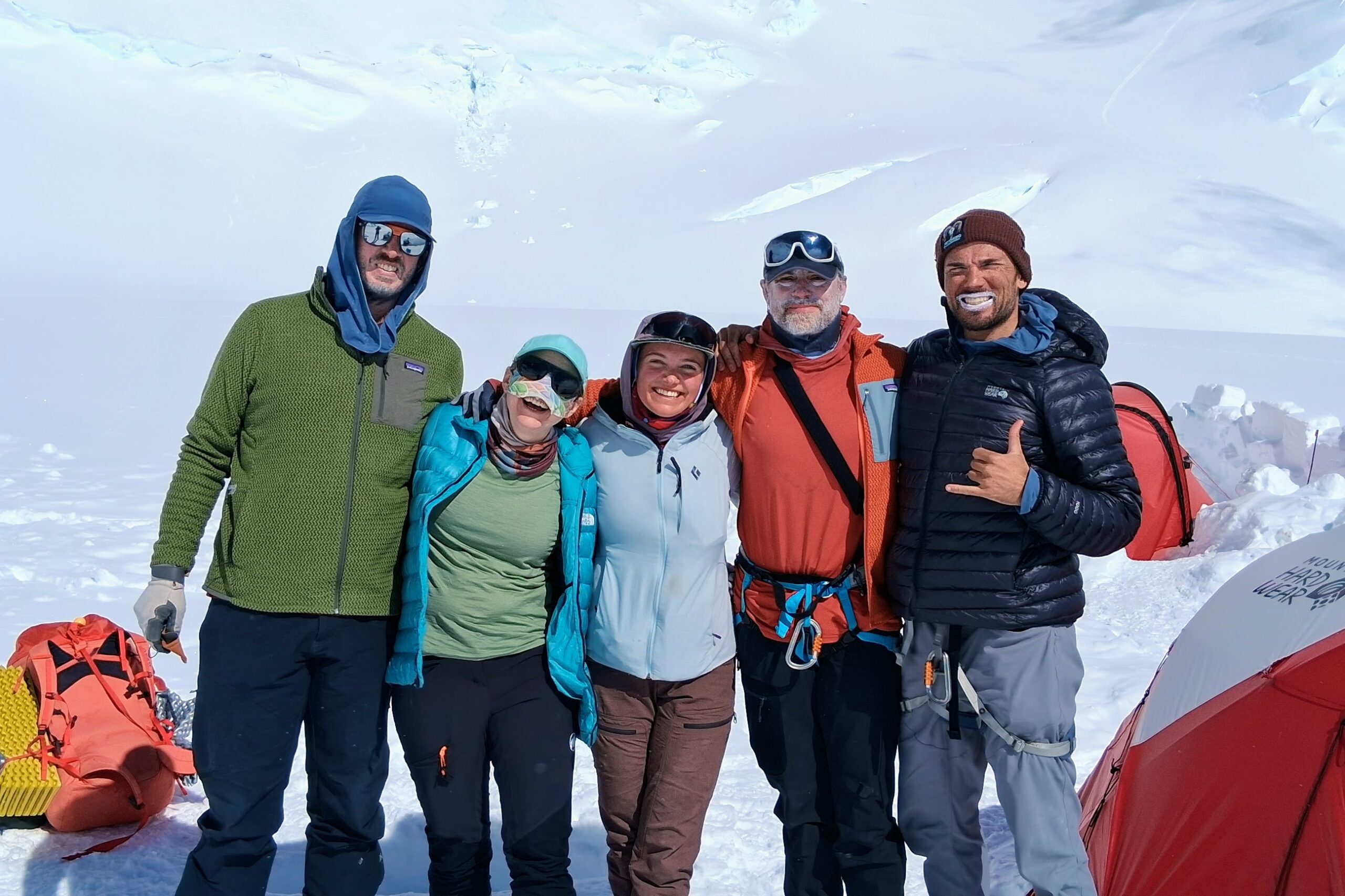
In a major boon for this adventure, several friends from the Ecuador trip also joined in. Obviously we didn’t coordinate until the last minute for sign-ups—in actuality just past that minute, there was some post-registration shuffling—but Sarah & Erik (New Mexico), Zach (California), and myself (Pennsylvania) all got on board. This is a great quartet: Sarah brings a get-to-it, start-on-time overachiever kind of driving & organizing force; Zach brings a balancing couple-minutes-late, stuff-everywhere kind of force alongside his levity & eagerness; and Erik & I just kinda quietly fill in the muscle power with respective slight tendencies toward those same ends of the spectrum.
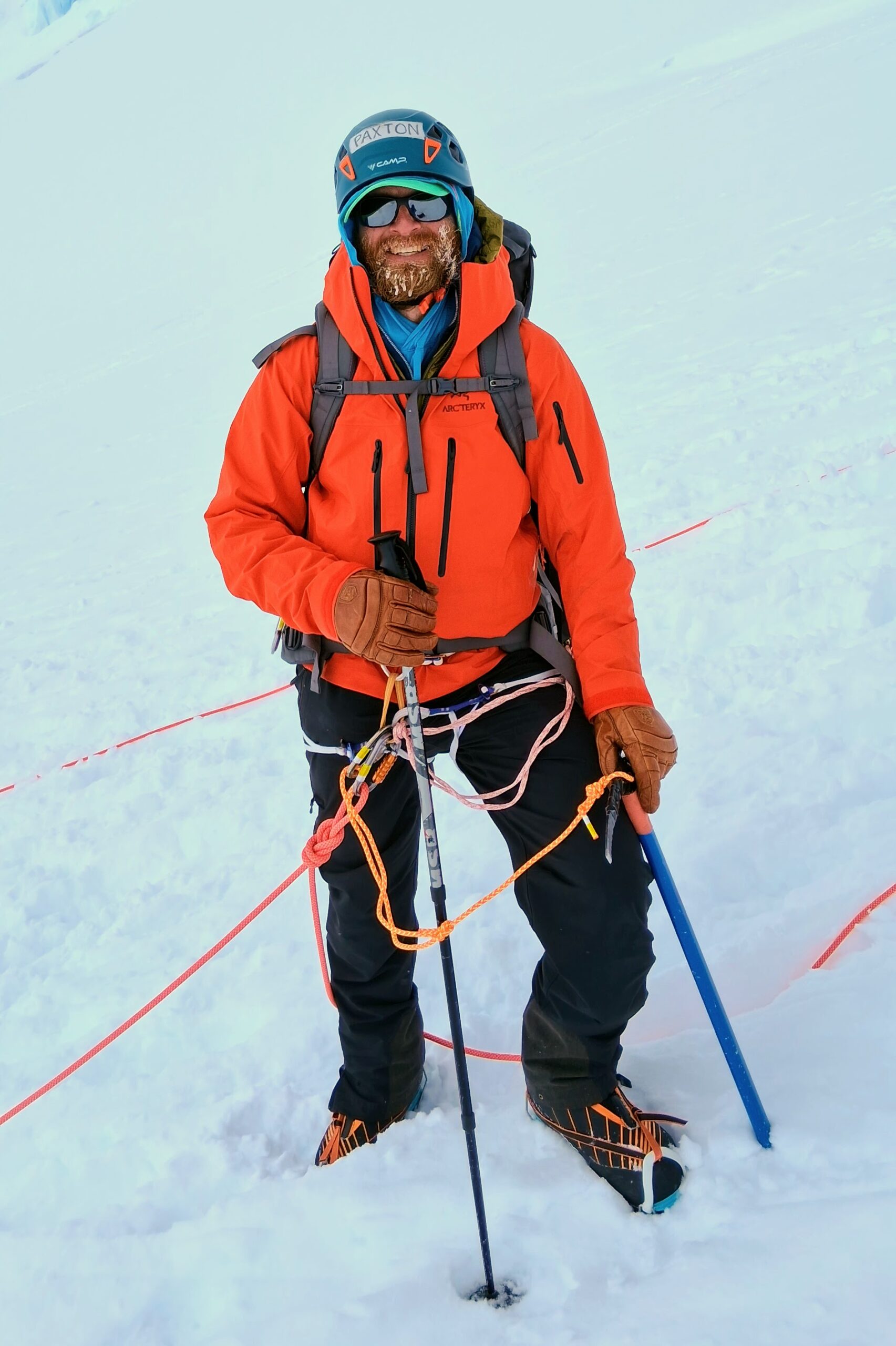
Also on this trip were climbers Paxton (Oregon), Chris (Arizona), and Tomoki (Hawaii). None of them knew each other or any of us before the trip, but they melded right away into a strong triplet with its own character, a blend of Chris’ extroverted social hosting, Tomoki’s quiet, droll humor and statue-building playfulness, and Paxton’s total commitment to deadpan dad-jokes regardless of not having children (what do you call someone who tells dad jokes but isn’t a dad? a faux pa!).
Our guides from RMI were Daniel, Drew, and Mac. Daniel is studying to be a nurse in Washington state alongside mountain and rock guiding. We’d met briefly two years ago when he lead a day course on Mt Rainier. Drew is a full-time firefighter medic also in Washington (near Spokane) and utilizes the significant schedule flexibility within his department to guide mountain and ice throughout the year. He was actually recruited to the trip on ~10 days’ notice after the original second guide broke a leg skiing. Mac has a master’s degree in microbiology and switches seasonally between ski patrolling in Montana, rock guiding in British Columbia, and mountain guiding.
Travel
Our group took the West Buttress route up Denali, by far the most commonly used route. The top level plan is:
- Team meetup in Anchorage for shuttle van to Talkeetna
- Prep day in Talkeetna repacking from travel mode to hike mode
- Bush plane flight from Talkeetna onto the Kahiltna Glacier
- Typically ~20 days on the mountain, with common minimum of 15 and max of 28
- Fly from the glacier back to Talkeetna
- Shuttle bus back to Anchorage
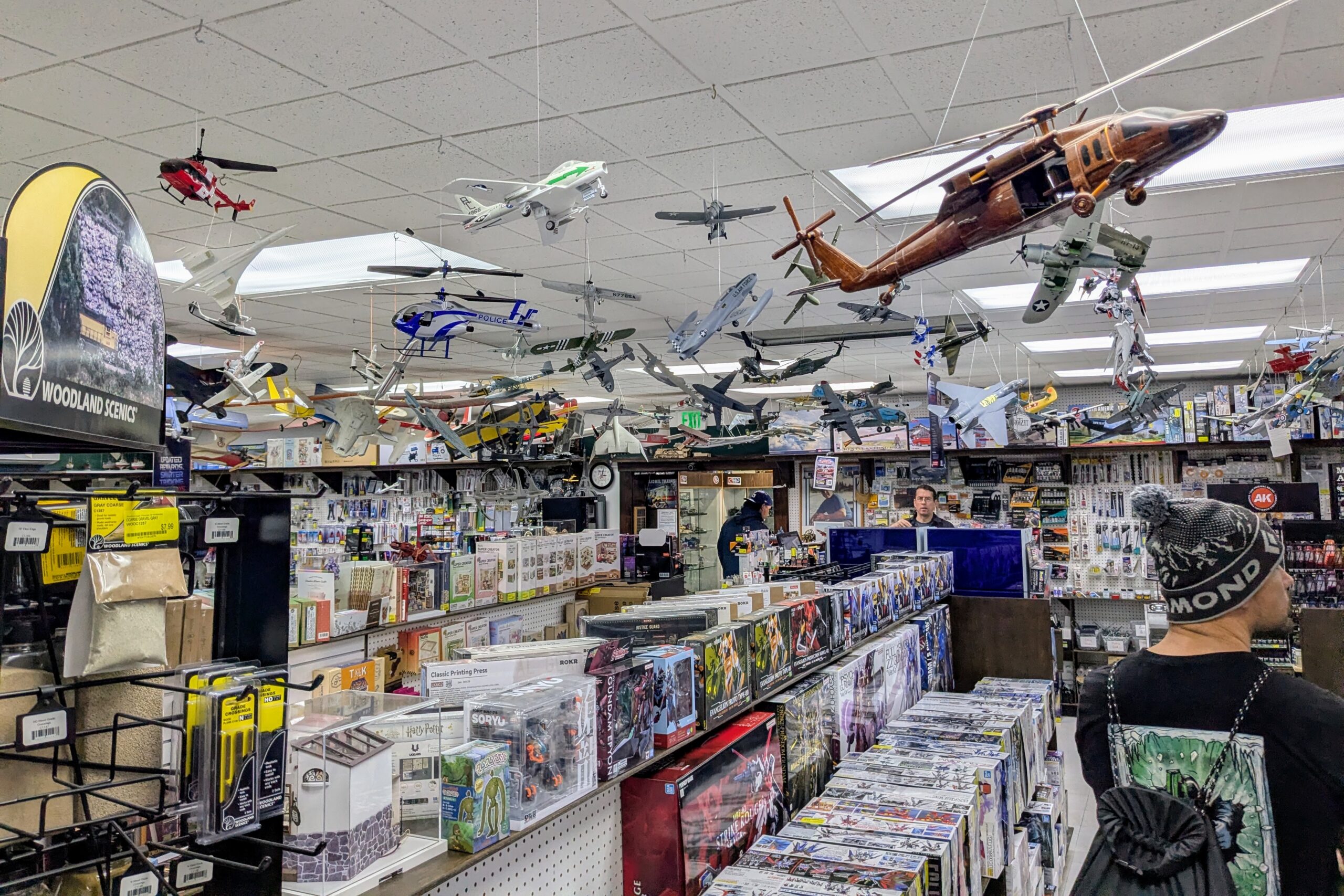
I scheduled an extra outbound travel day in Anchorage in case of luggage or other airline problems but it was unnecessary so Zach and I spent the day wandering around. I am happy to report that Anchorage has maybe the best hobby shop I have ever seen (Anchorage House of Hobbies), in addition to excellent climb/ski/kayak/bike stores (Alaska Mountaineering & Hiking as well as the Hoarding Marmot) and restaurants (Yak & Yeti Cafe). We also got the jump on our guides by happening upon them at lunch, and met up with slightly travel-delirious Erik and Sarah for dinner.
Prep
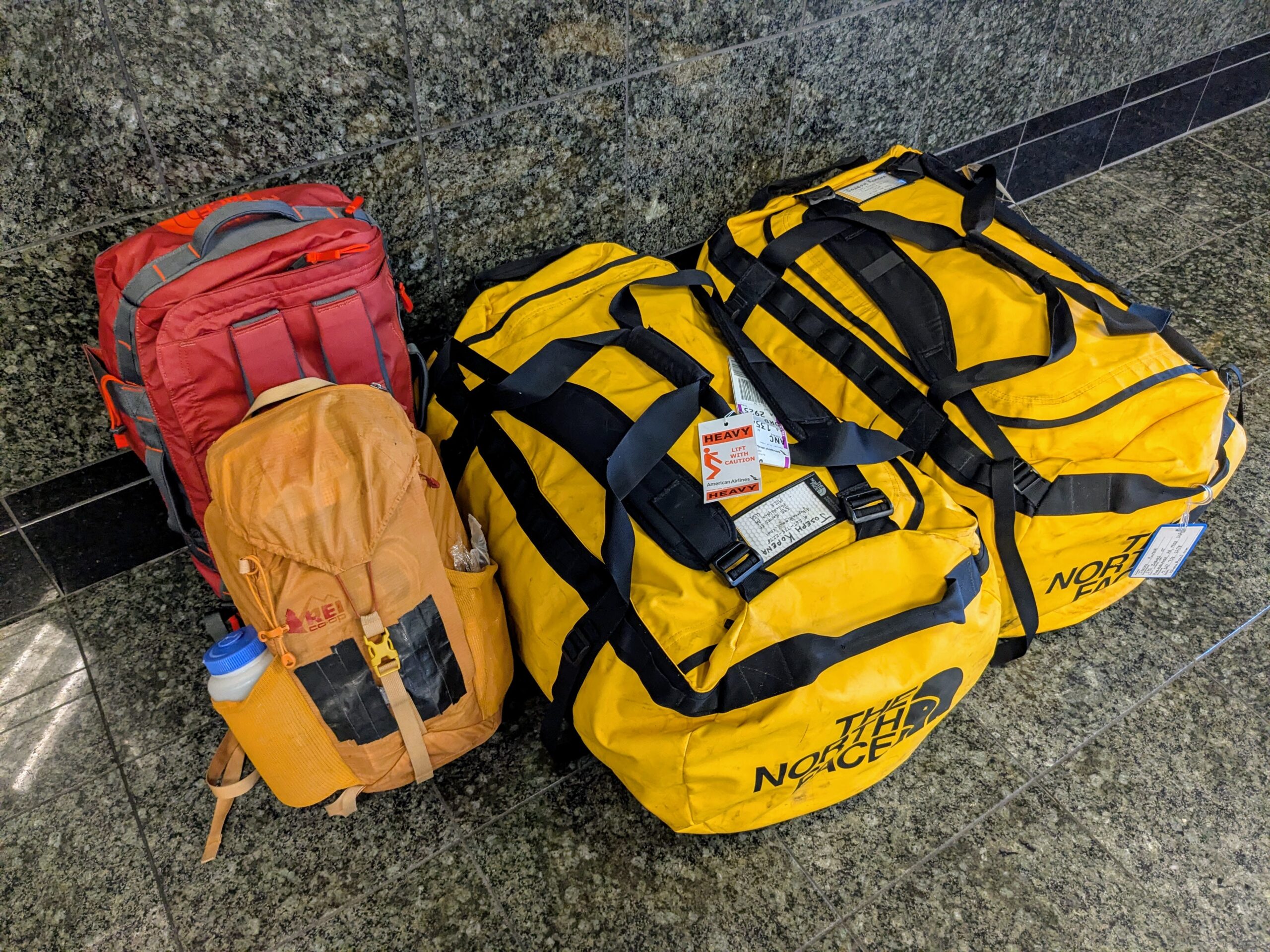
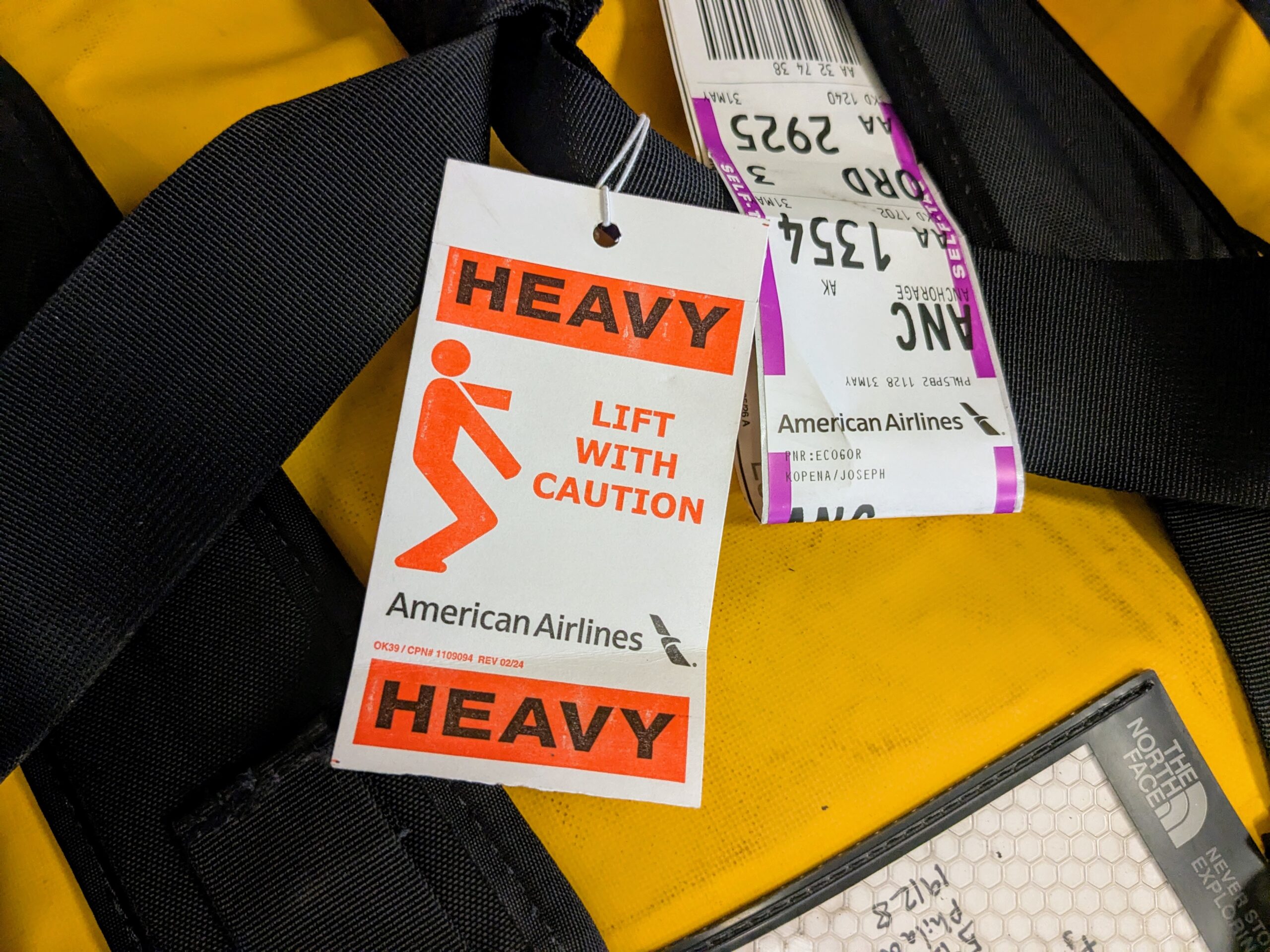
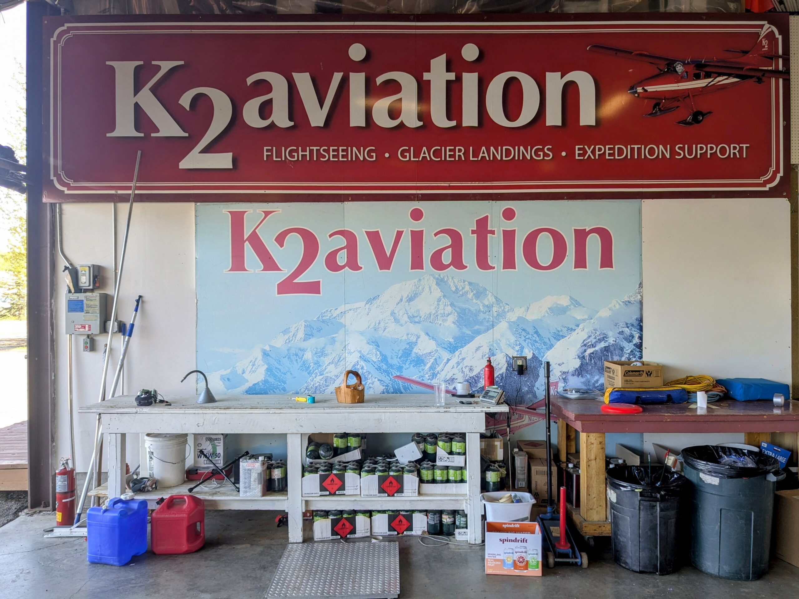
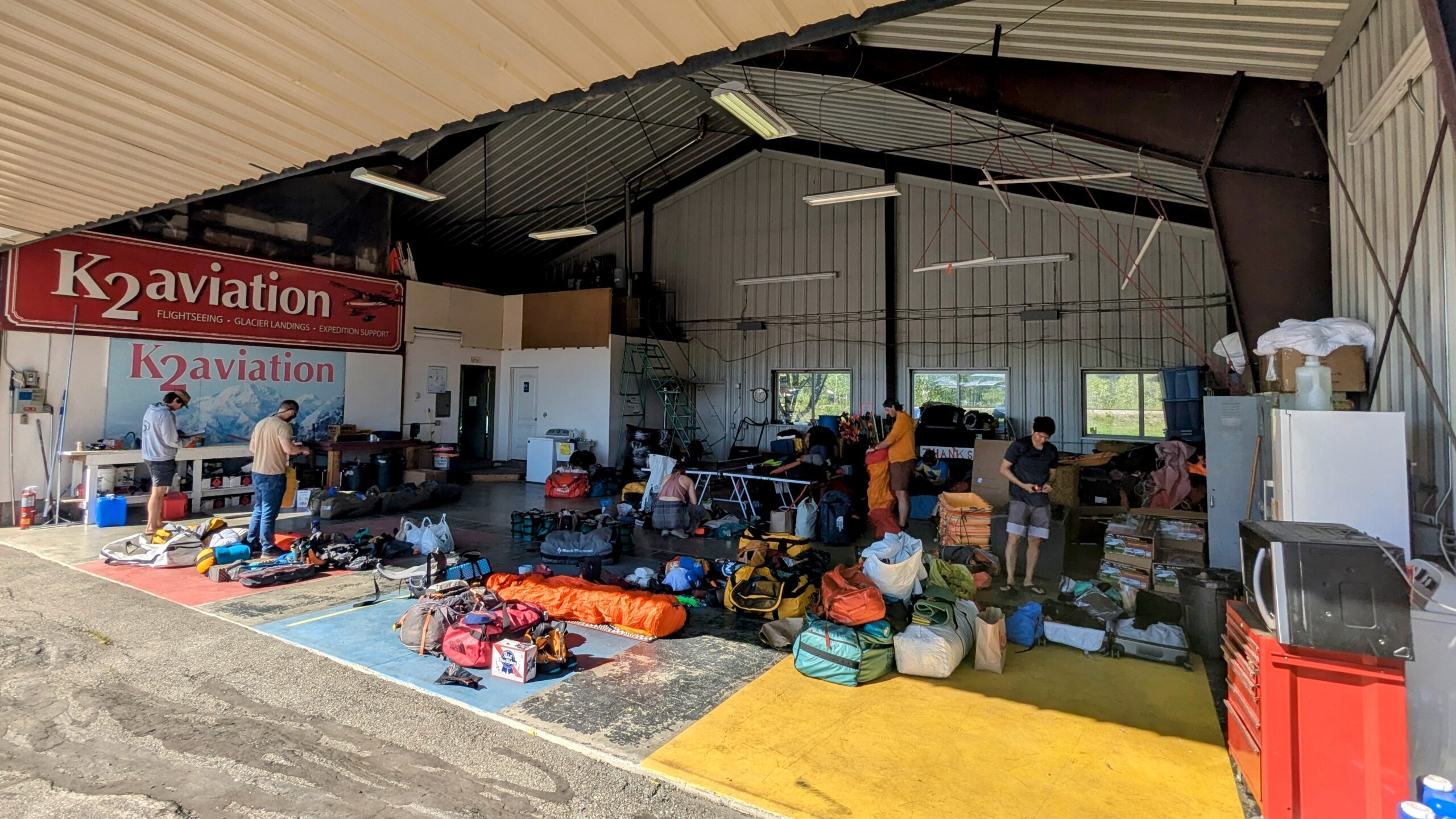
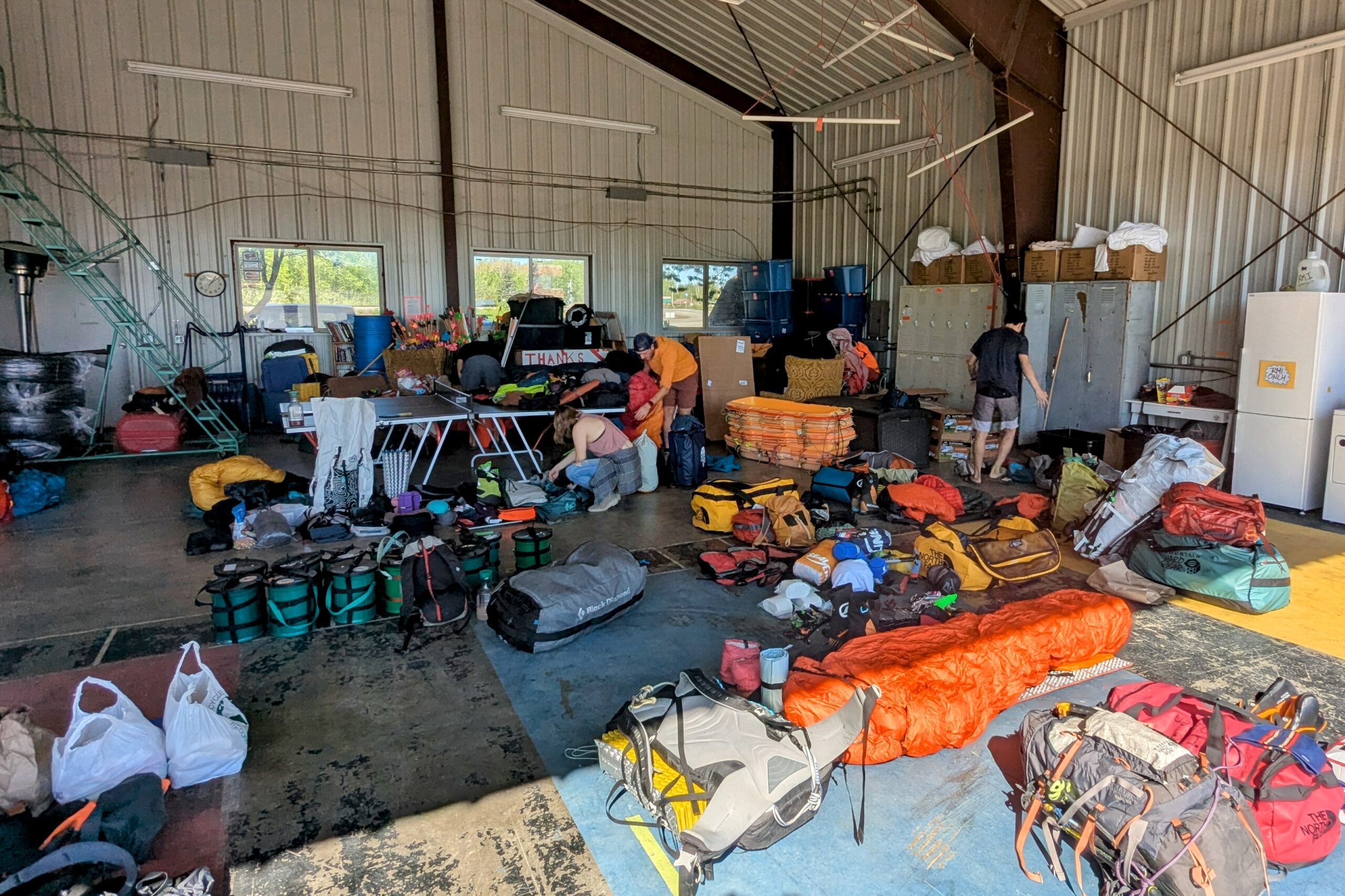
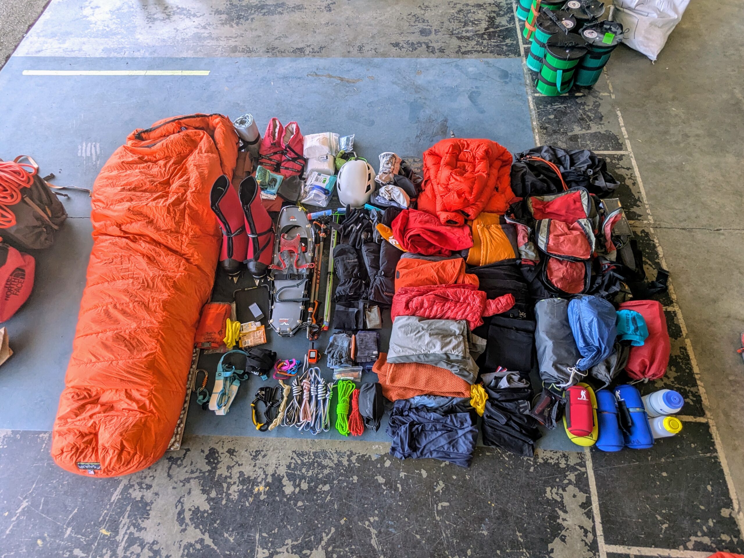
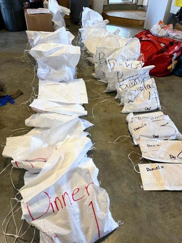
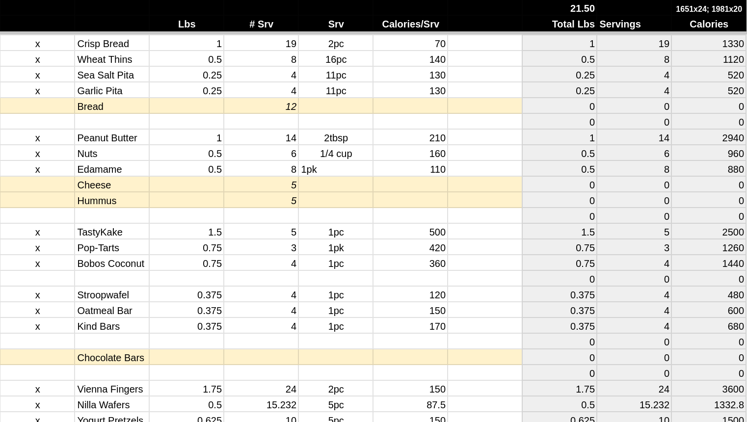
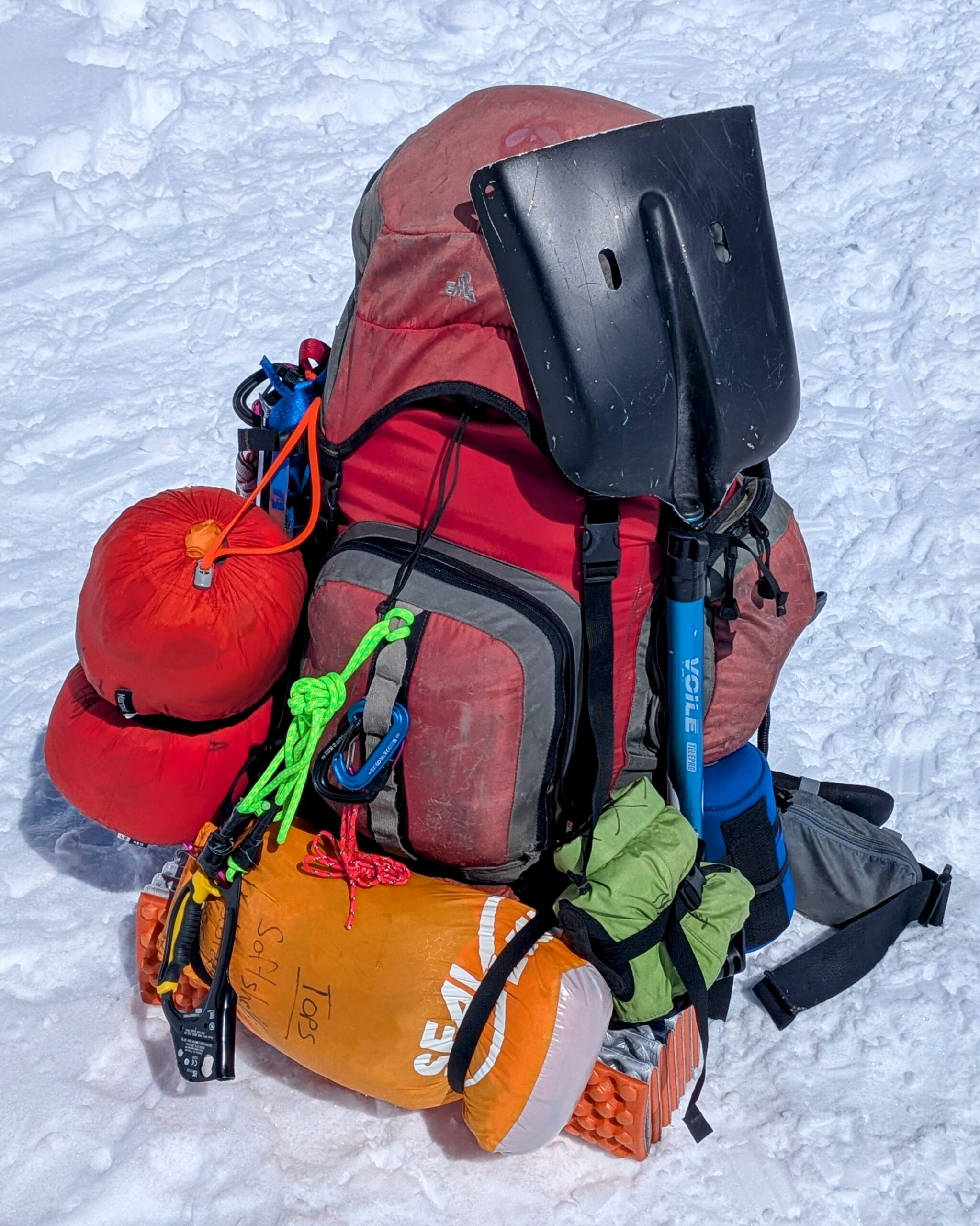
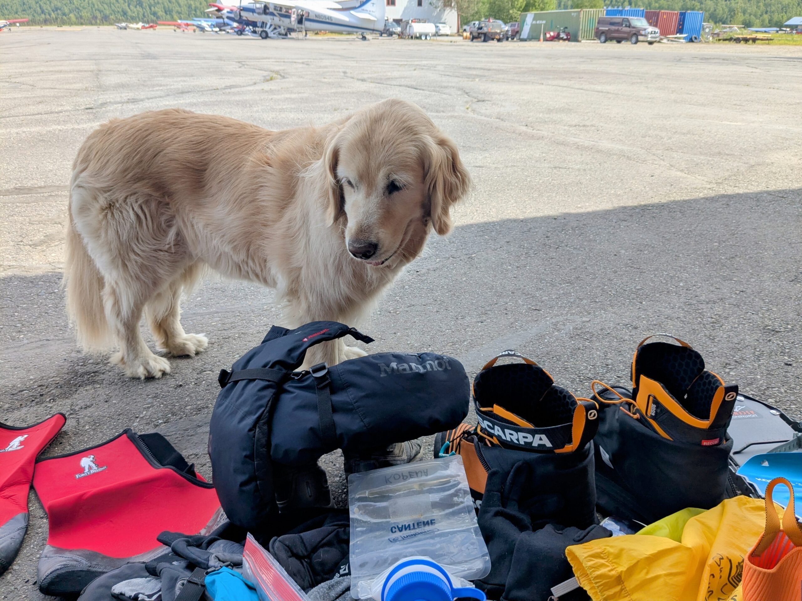
Once in Talkeetna we spent a day in the climber hangar at K2 Aviation, our flight service, triple checking all our gear and re-packing for the flight onto the glacier. My final total was 97lbs of personal gear, including 22lbs of personal food, 6lbs of drink mixes/teas/soups, 7lbs of first-day water, and ~13lbs of boots, snowshoes, axe, and poles. That does not include my share of group gear and supplies—tents, stoves, food, fuel, toilet canisters—which adds maybe another 20lbs or so to start. I split my starting weight fairly evenly between my backpack and gear sled, with maybe 10% more on the latter. My guiding rule on that division is basically “What do I need in my backpack to survive a couple nights if I lose my sled into a crevasse or down the mountain?”
Route
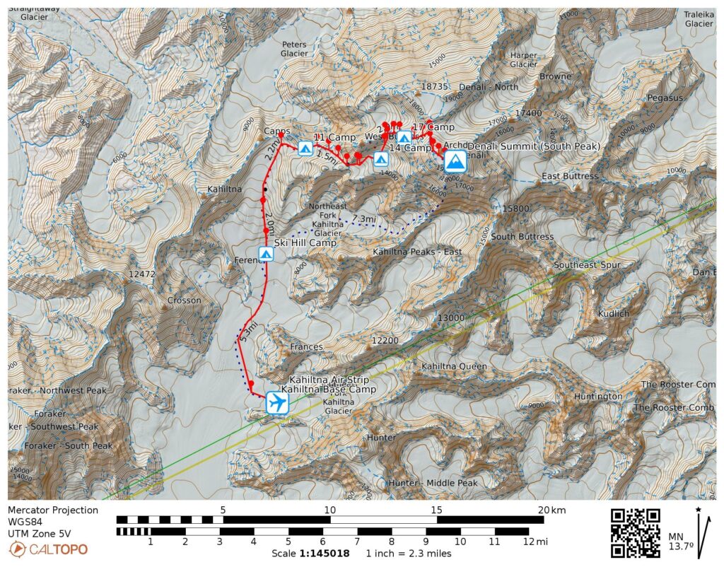
Denali’s West Buttress route has a well established backbone to its ~15 mile, ~14,000 foot extent:
- Base Camp at the airstrip atop Heartbreak Hill at 7.3k
- Ski Hill Camp on the open lower glacier at 7.8k
- 11 Camp at base of Motorcycle Hill at 11.2k
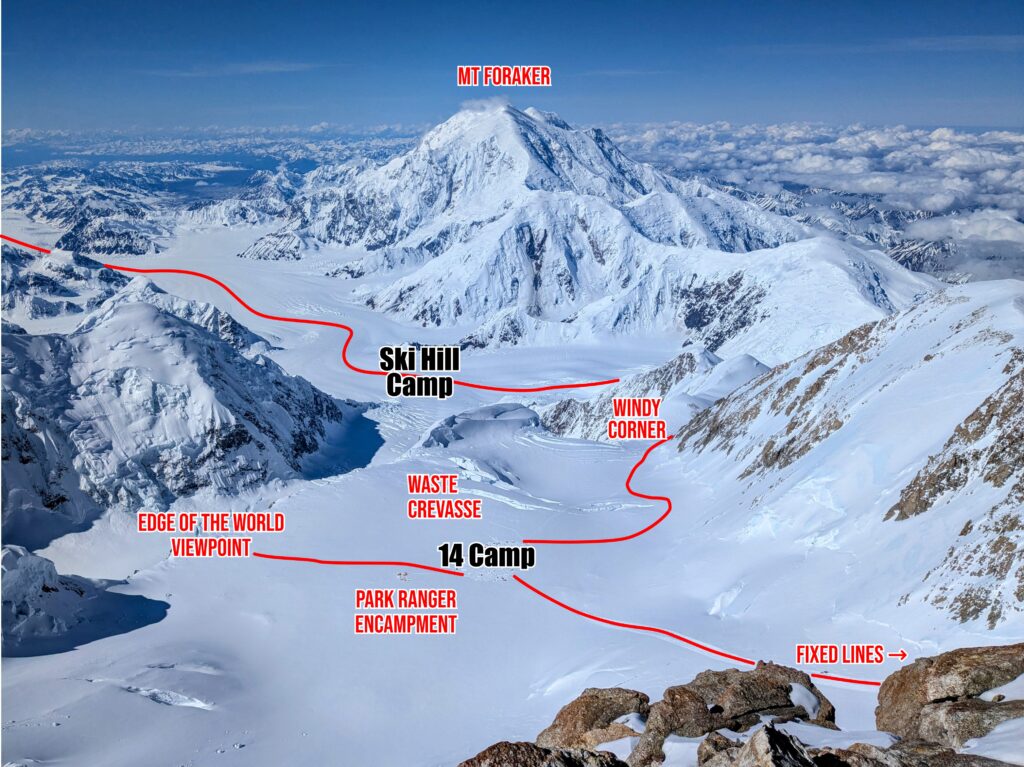
- 14 Camp in Genet Basin just above Windy Corner at 14.2k
- 17 Camp above the Fixed Lines at 17.2k
- The Autobahn, Denali Pass, and then the summit at 20.3k
There are a few other commonly used camps and cache points, occasional ad hoc camp sites, and numerous other named features (many tagged on my Caltopo map), but that’s what I see as the main components.
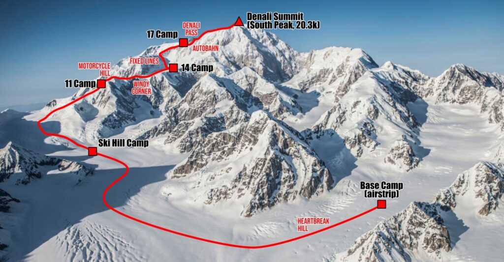
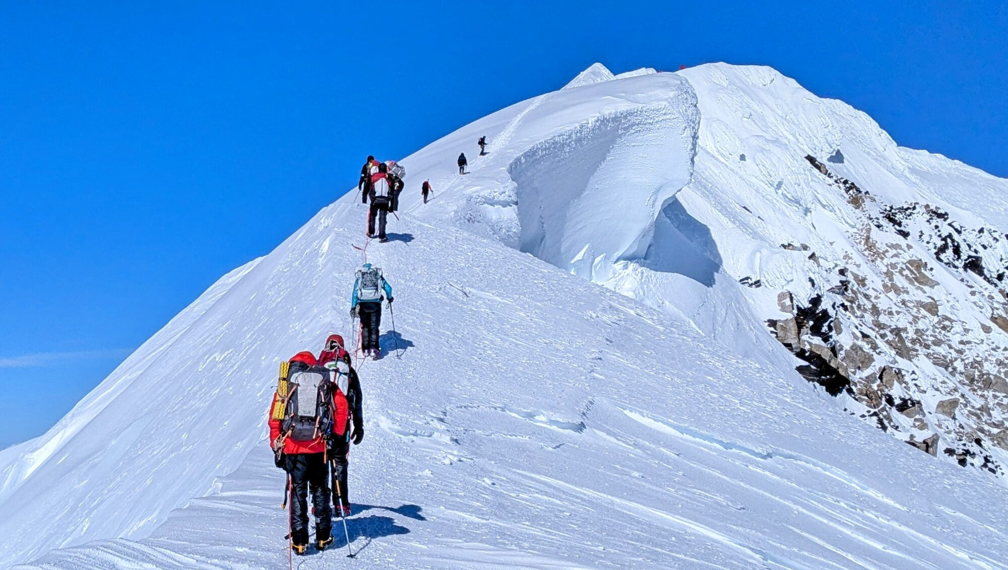
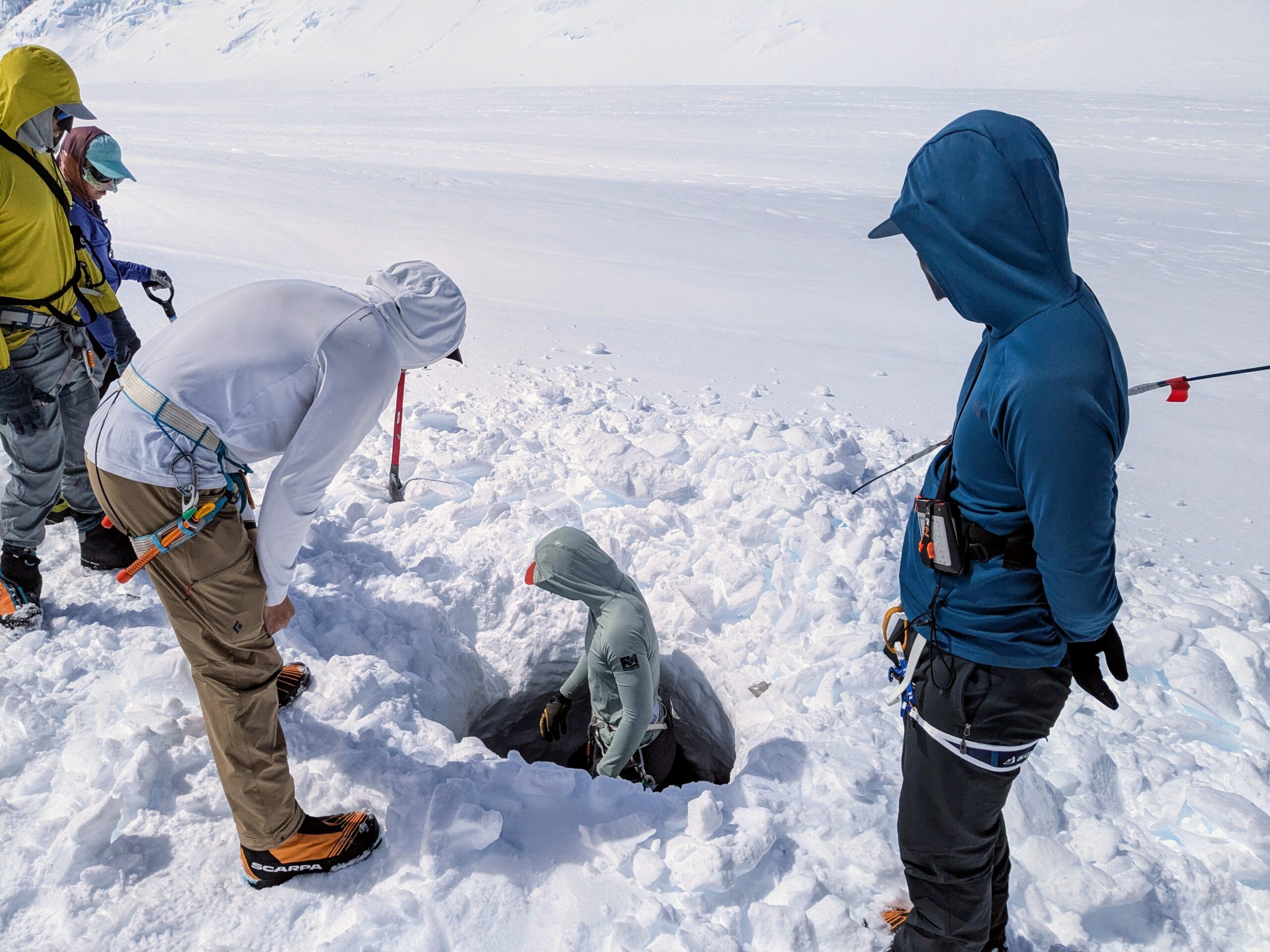
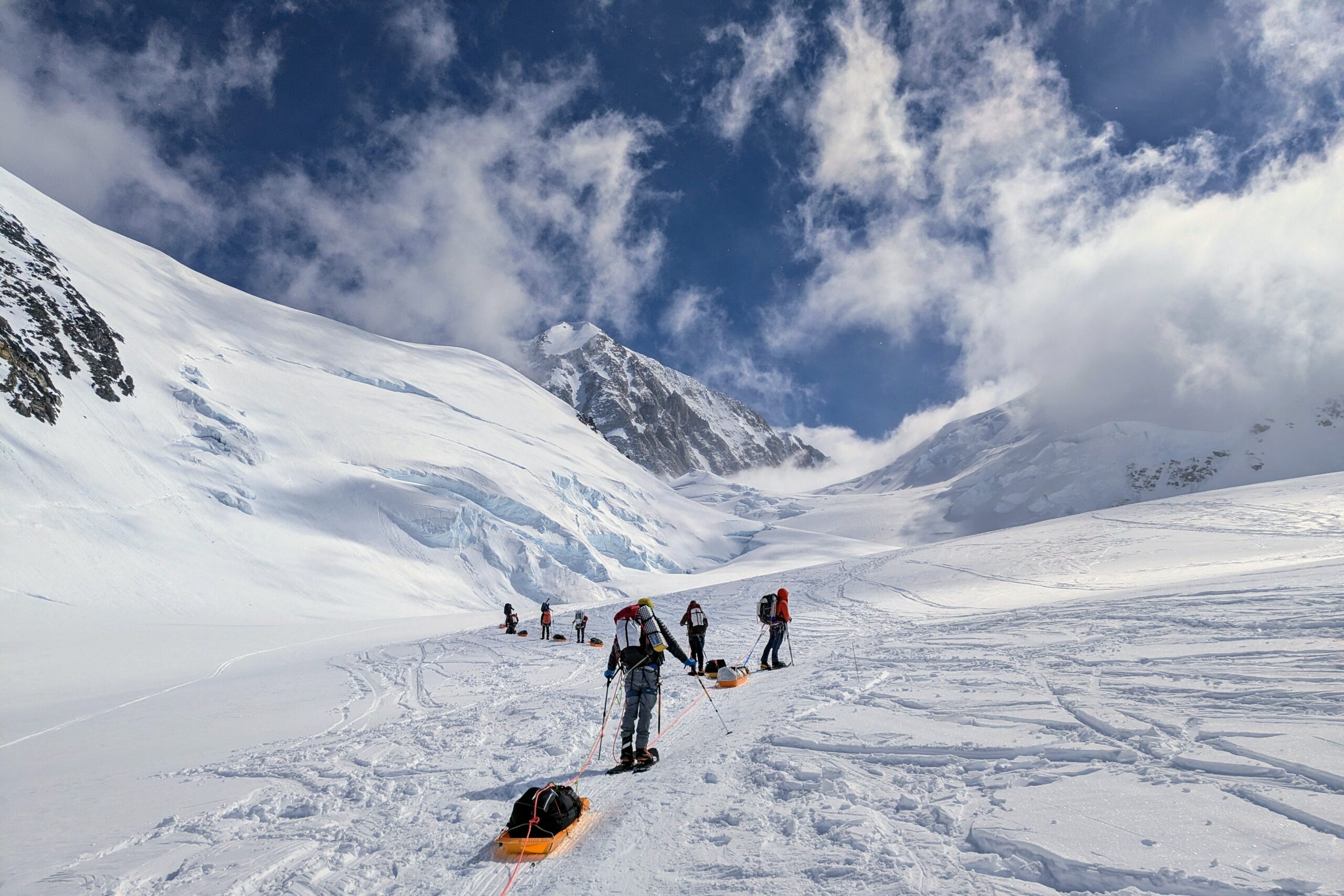
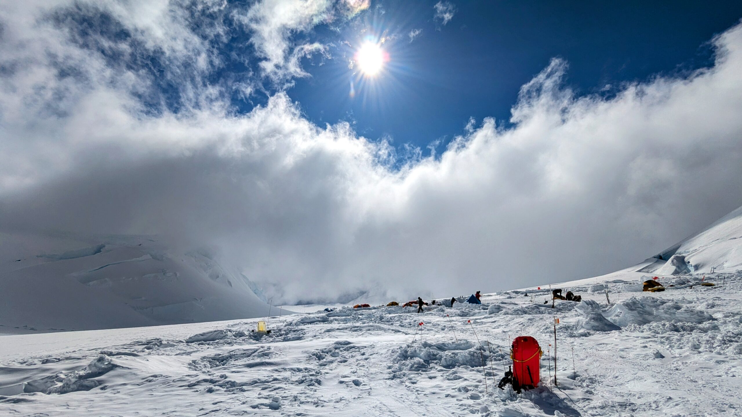
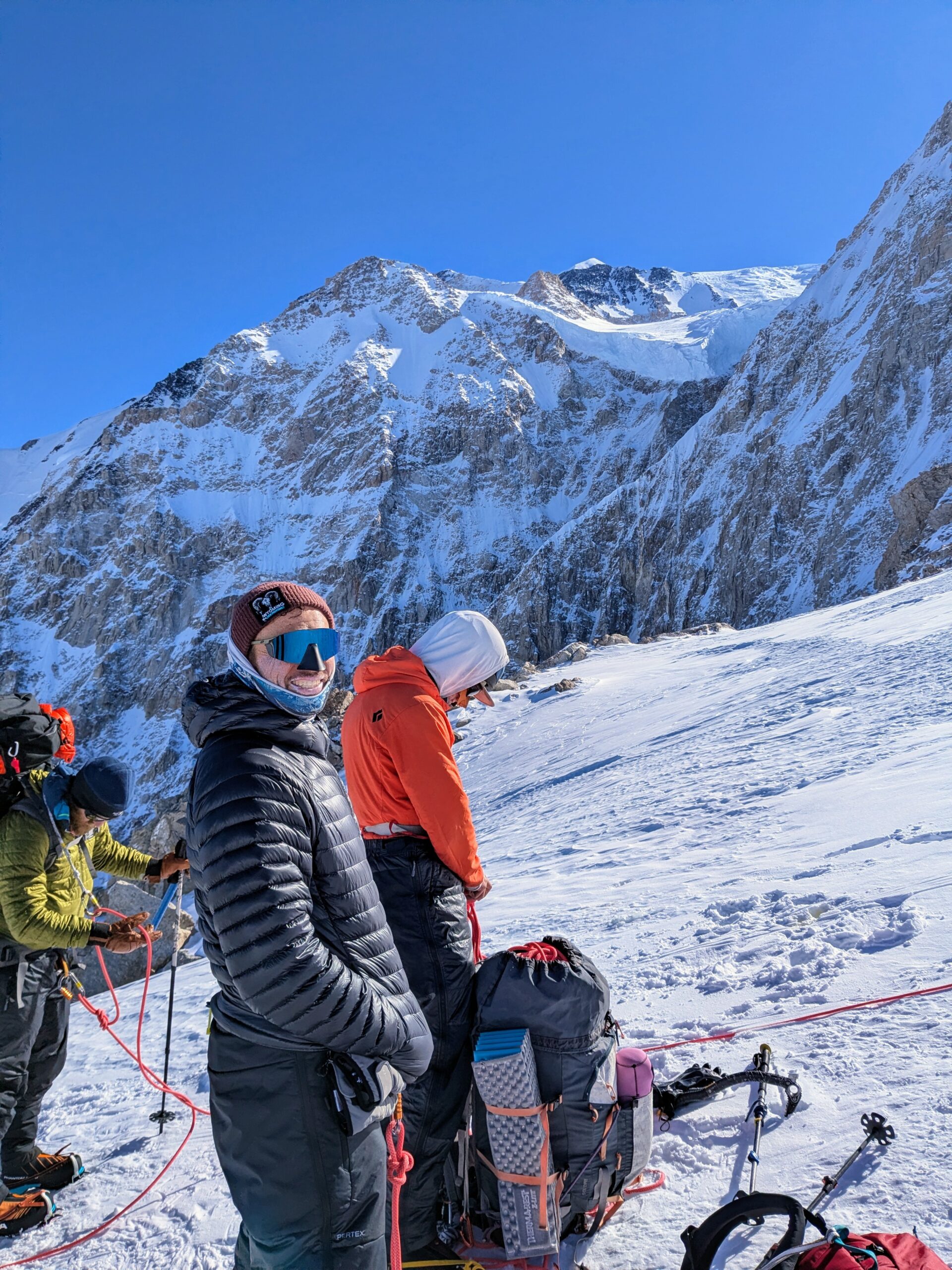
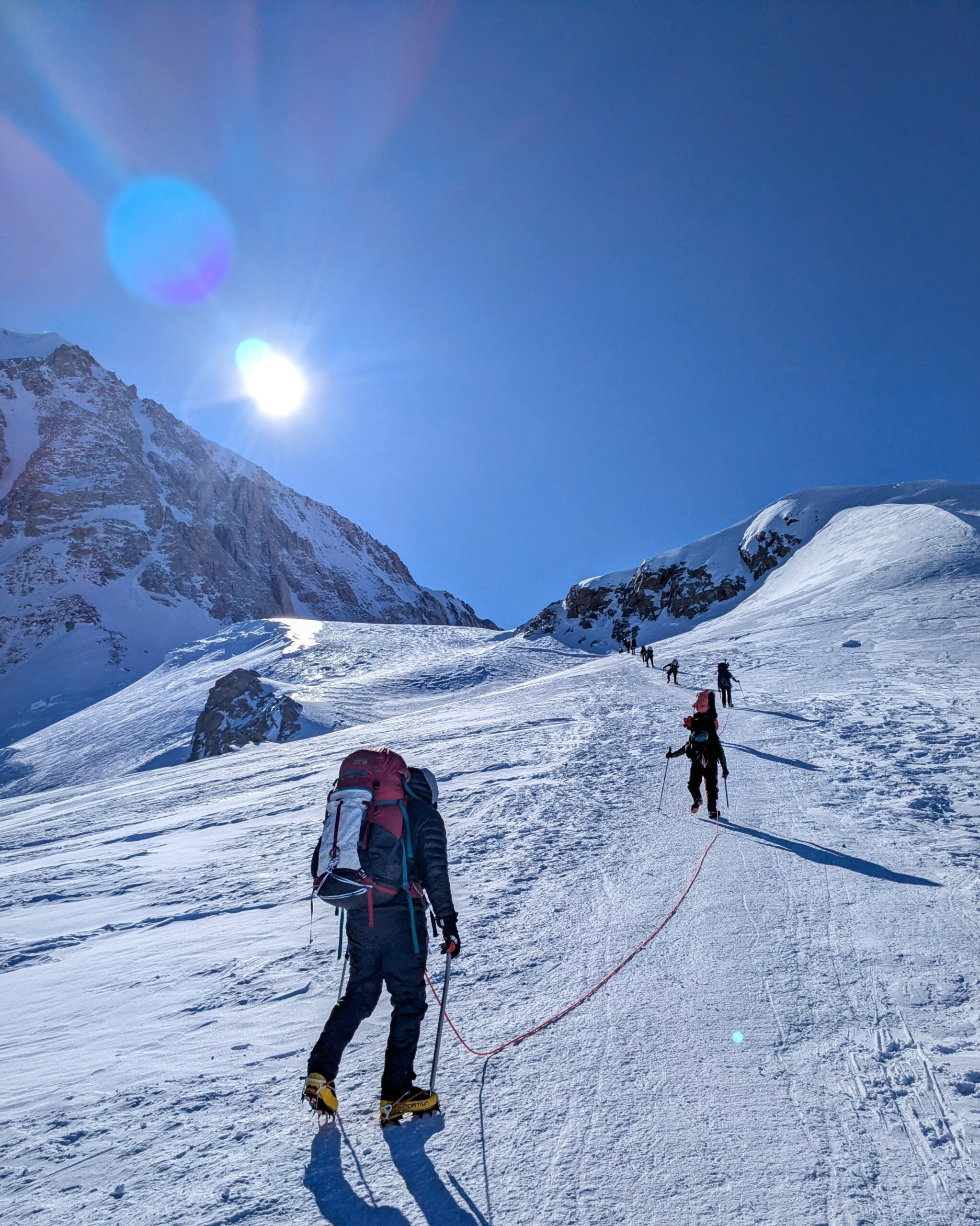
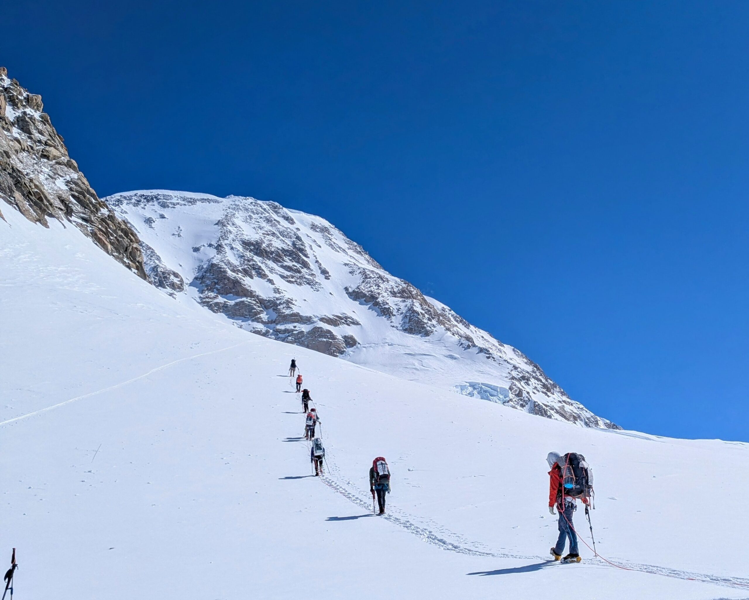
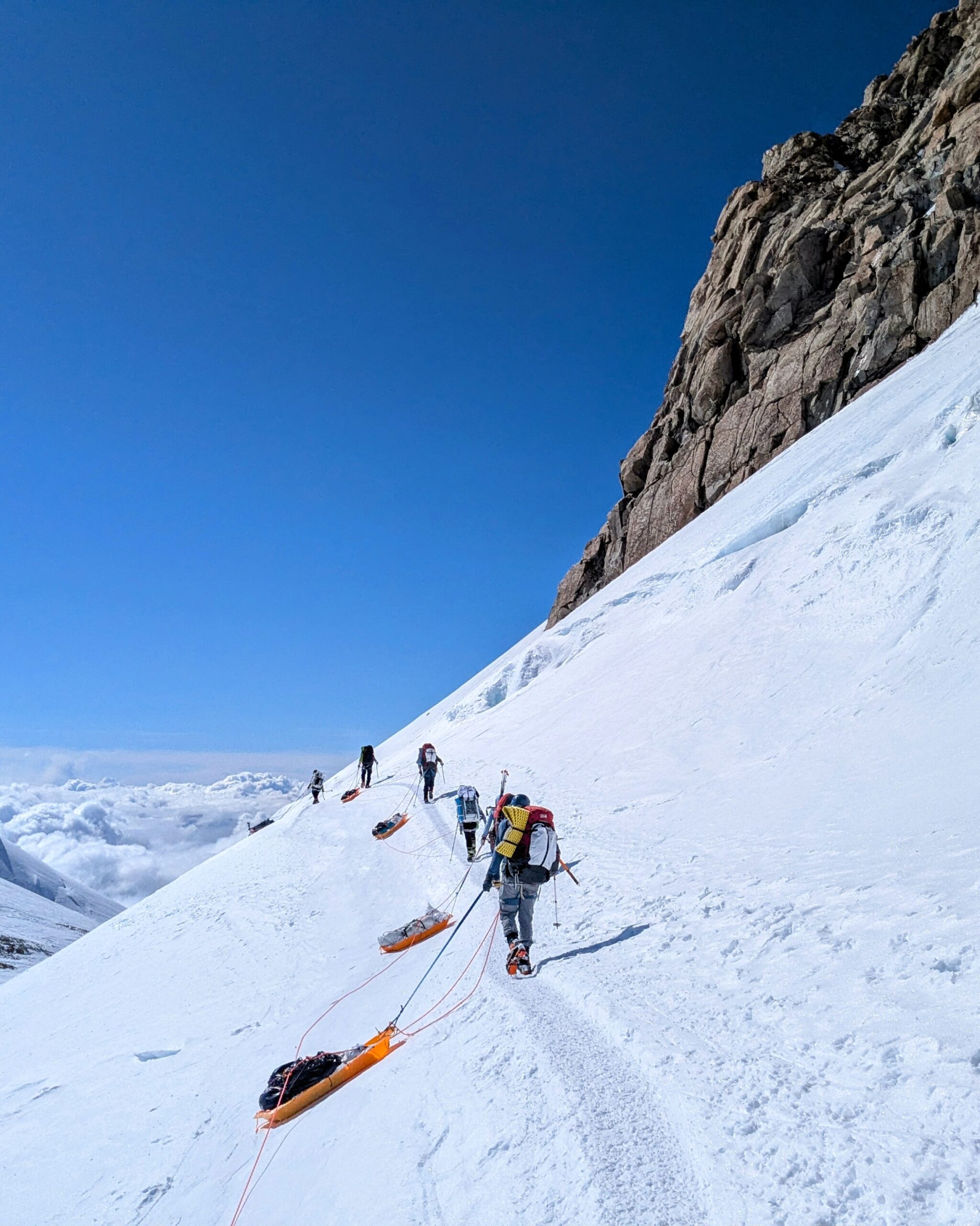
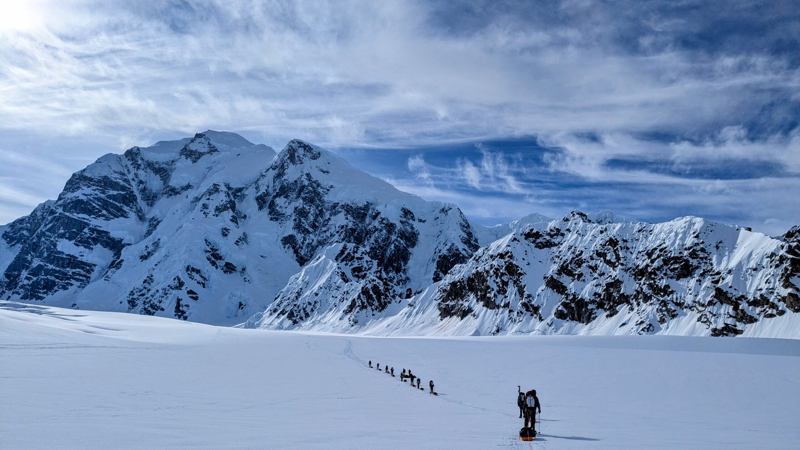
From Base Camp till about halfway between the 11 and 14 Camps is all on the Kahiltna Glacier, the longest glacier in the Alaska Range. After that the route hops between mountain ridges and several smaller unnamed glaciers. A full 100% of the travel is in rope teams, with distances between members varying across the mountain. The spacing might be just a few feet on more technical rock sections, short roping against falls, to ~20m/66ft on the lower glacier, enabling team arrests against its potentially enormous crevasses, it being a convention in Alaska to spread team members further than the more typical 10–15m. Even in camp you can’t just wander around—one of the first activities on arrival at each is probing for crevasses and marking a boundary before making camp and settling in.

Of the major named features on my route diagram other than camps:
- Heartbreak Hill is so called because you actually go down about 400ft from the airstrip before proceeding up to Ski Hill Camp, meaning the last feature of the return hike before reaching the air strip is uphill.
- Motorcycle Hill more or less represents the transition between comparatively straightforward, mellow glacier hiking to more proper mountain climbing; above it there are far more and more varied terrain hazards.
- Windy Corner has numerous crevasses, off camber paths, and high consequence slopes, as well as often featuring severe winds that are challenging in their own right as well as scour away snow leaving pure blue ice.
- The Fixed Lines are a steep slope of rock hard ice on which arresting a fall without emplaced protection would be nearly impossible, so rope lines are established and re-established by park rangers and the early-season teams.
- The Autobahn is a long uphill traverse with high consequences where most of the major accidents on Denali occur; the climbing teams maintain and share a large number of snow pickets along it used for running belays.
- Denali Pass marks the end of the Autobahn and transition to the mostly more straightforward final sections.
Other ways to think about the overall progression of the route include:
- Up till Motorcycle Hill many climbers listen to music and such while plodding along; after that focus is required.
- Snowshoes and gear sleds are generally left at either 11 or 14 Camp and crampons used thereon.
- Most guided teams require helmets be worn on Windy Corner and the Fixed Lines.
- From 17 Camp on there is ~50% less oxygen available than at sea level.
Flight to Base Camp and Move to Ski Hill Camp
Day 1: Hike 5.5hr from Base Camp to Ski Hill Camp; camp building 1.5hr
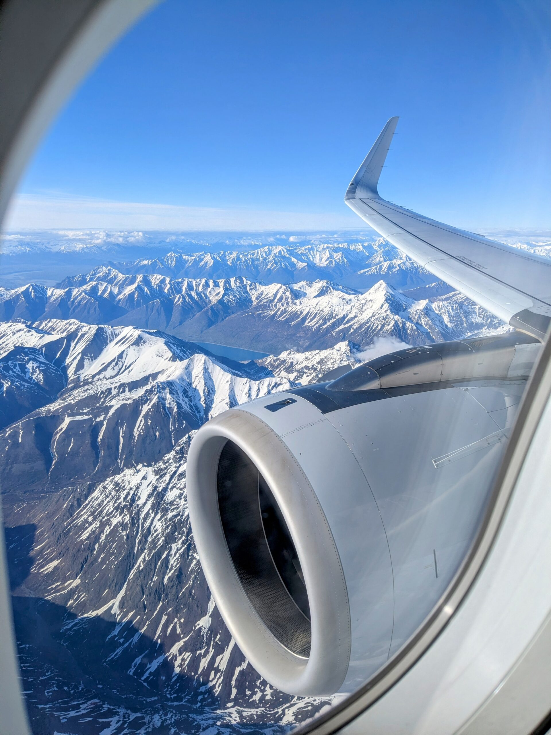
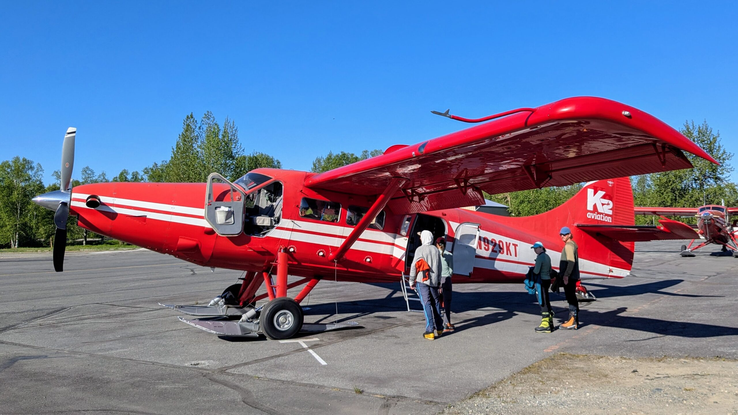
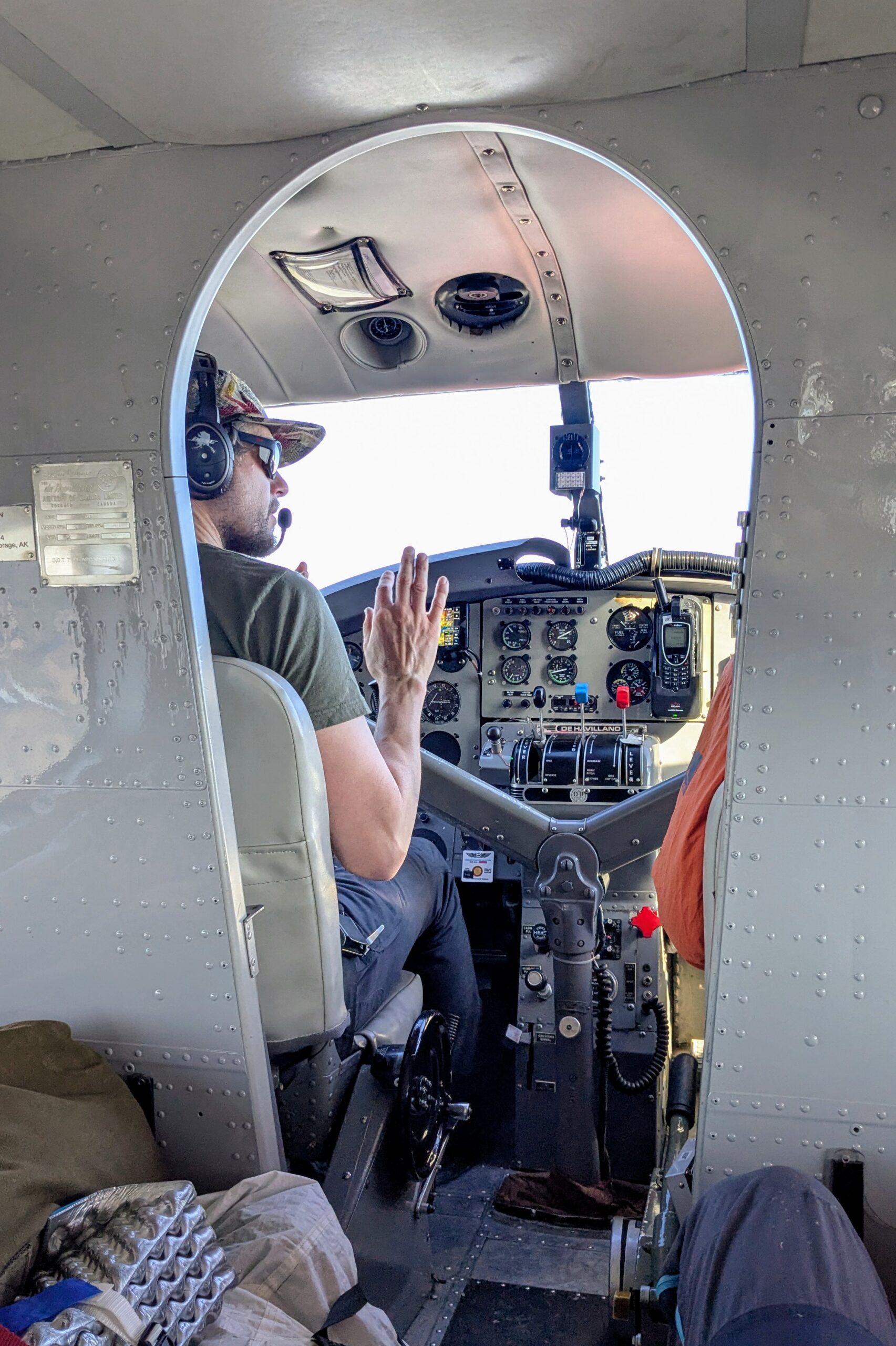
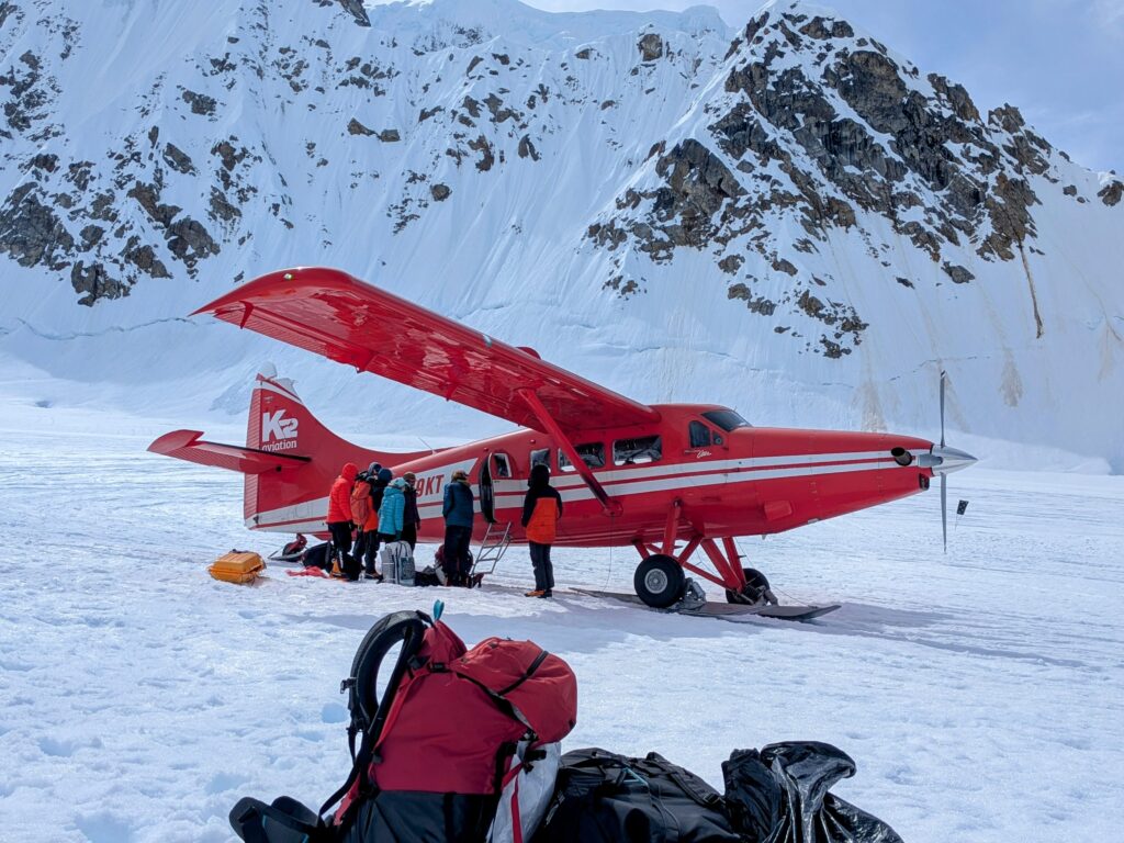
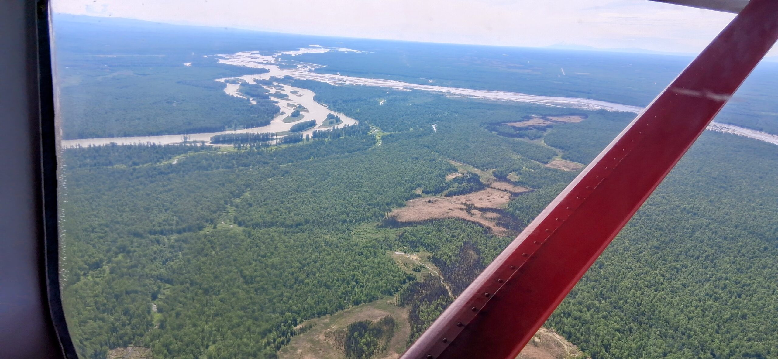
K2 flew us to the glacier on two de Havilland Otters. These can carry about 2400lbs, divided between up to 10 passengers or gear. For our flights they removed the seats along the left side to make space for our pile of gear, which we then clambered over to get to our seats. Talkeetna is ~80 miles from the Kahiltna air strip, about 45 minutes.
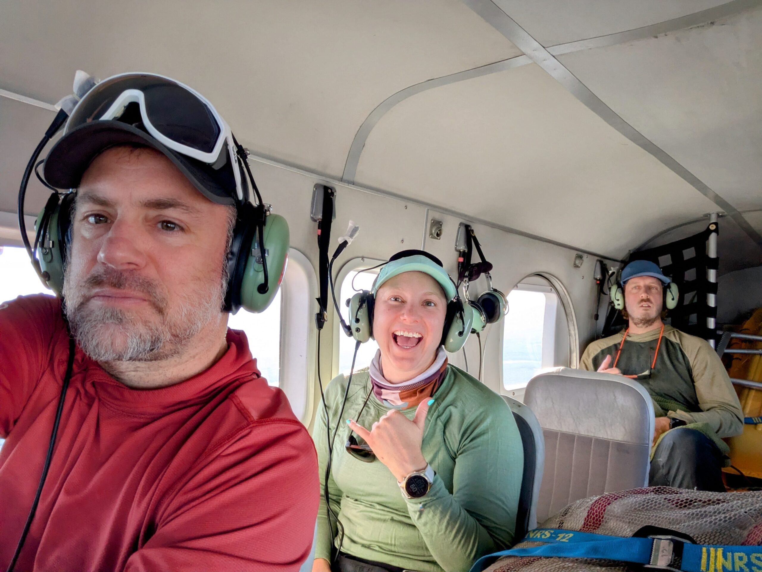
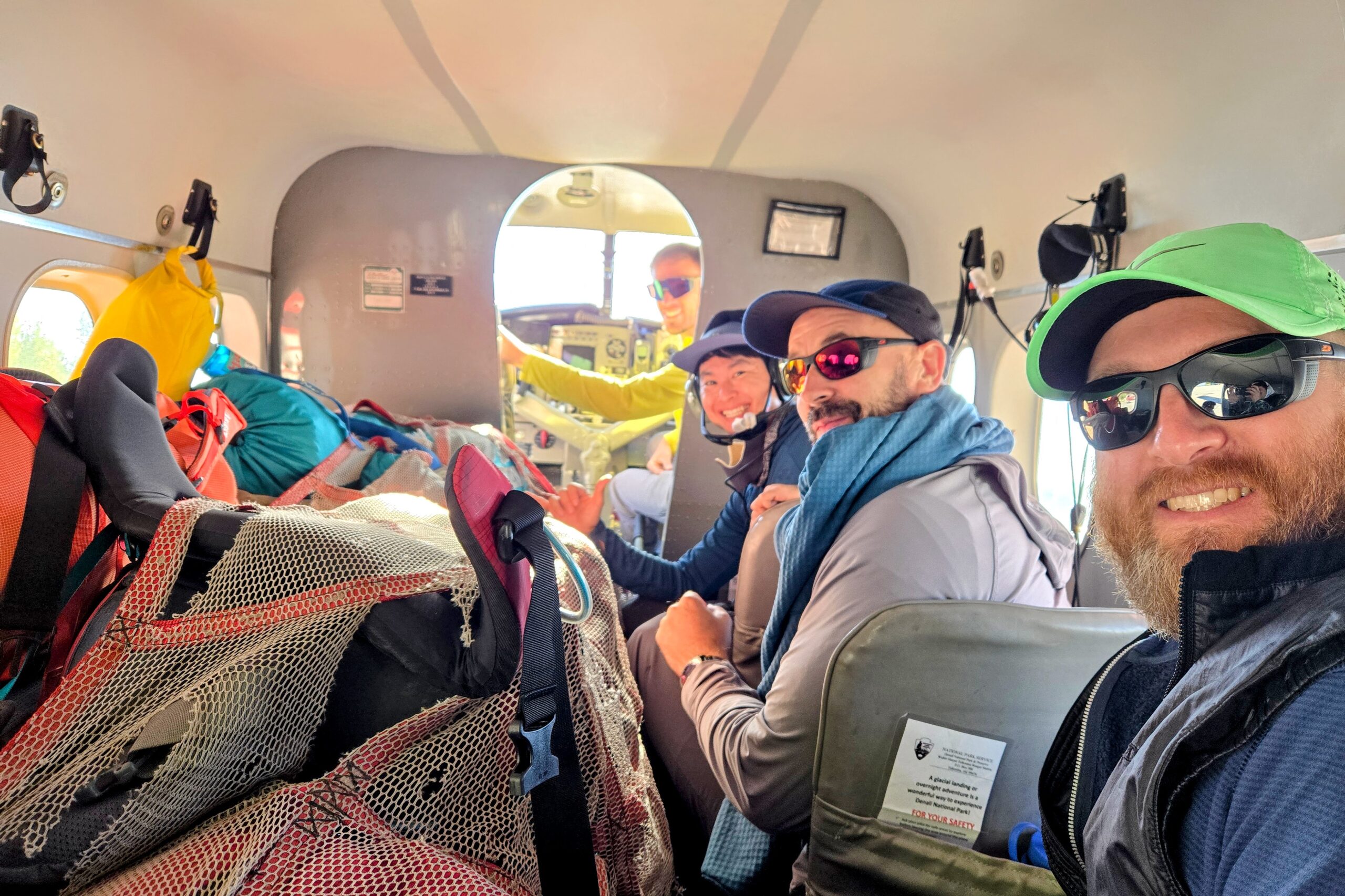
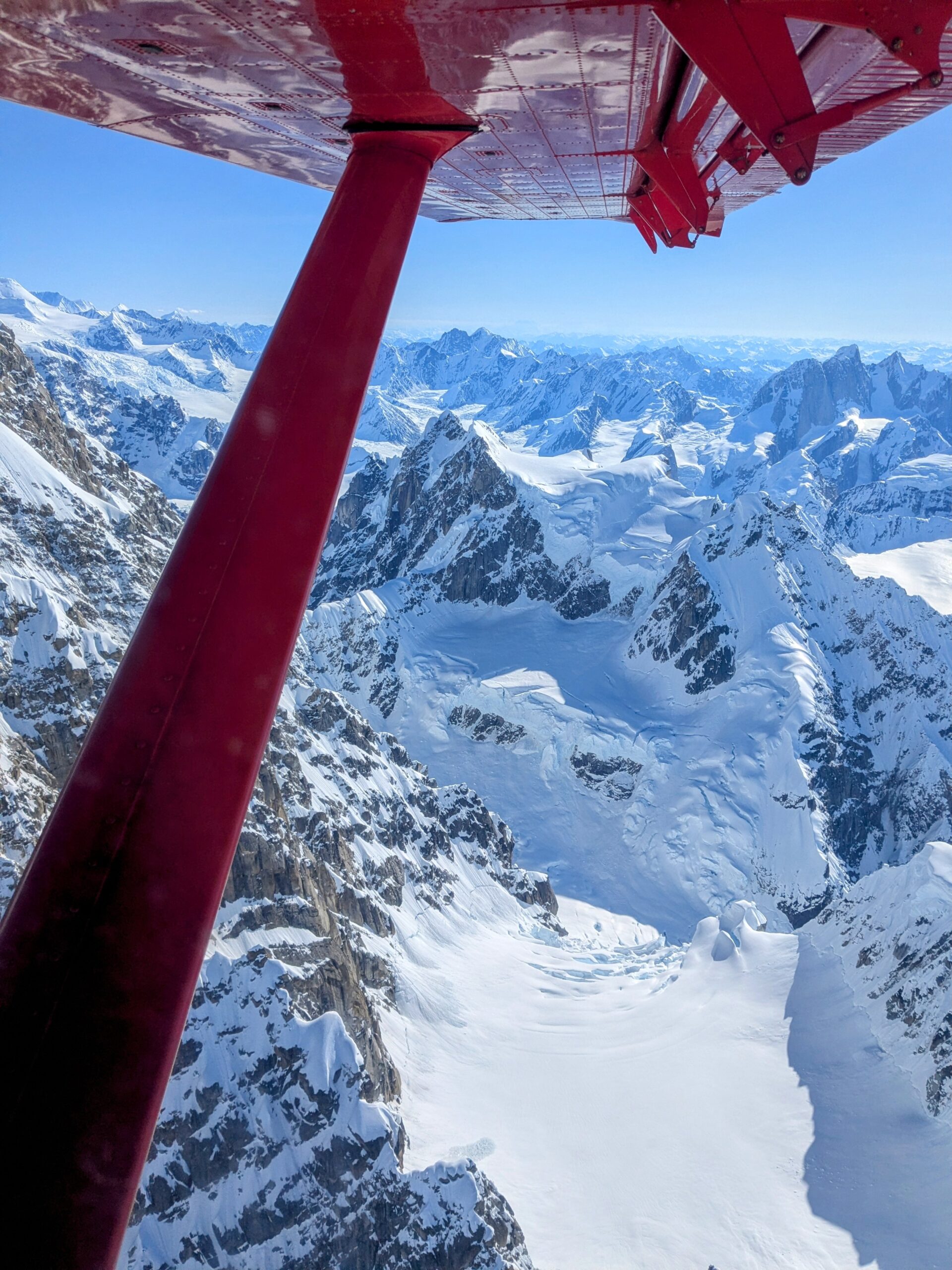
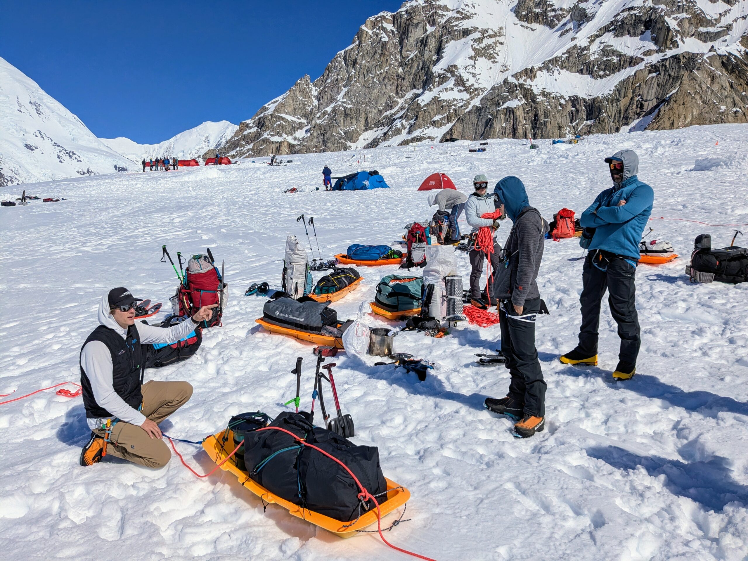
Once on-mountain, our team of ten quickly gelled into three rope teams:
- Rope Team World Best #1 Rope Team: Daniel, Tomoki, Paxton, and Chris
- New Mexico All-Stars: Mac, Sarah, and Erik
- Hoarding Marmots: Drew, Zach, and myself
The Marmots quickly established ourselves as the expedition leaders in demerits immediately upon getting onto the snow as Zach realized and loudly lamented that he’d left all his lunch meats and cheeses in the refrigerator at the hangar. Tomoki did as well but throughout the trip Rope Team World Best #1 Rope Team craftily didn’t advertise their demerit-worthy missteps, a novel strategy the Marmots will have to try one day. The New Mexico All-Stars of course simply didn’t do anything warranting demerits. Being ready early! Following instructions! Ridiculous.
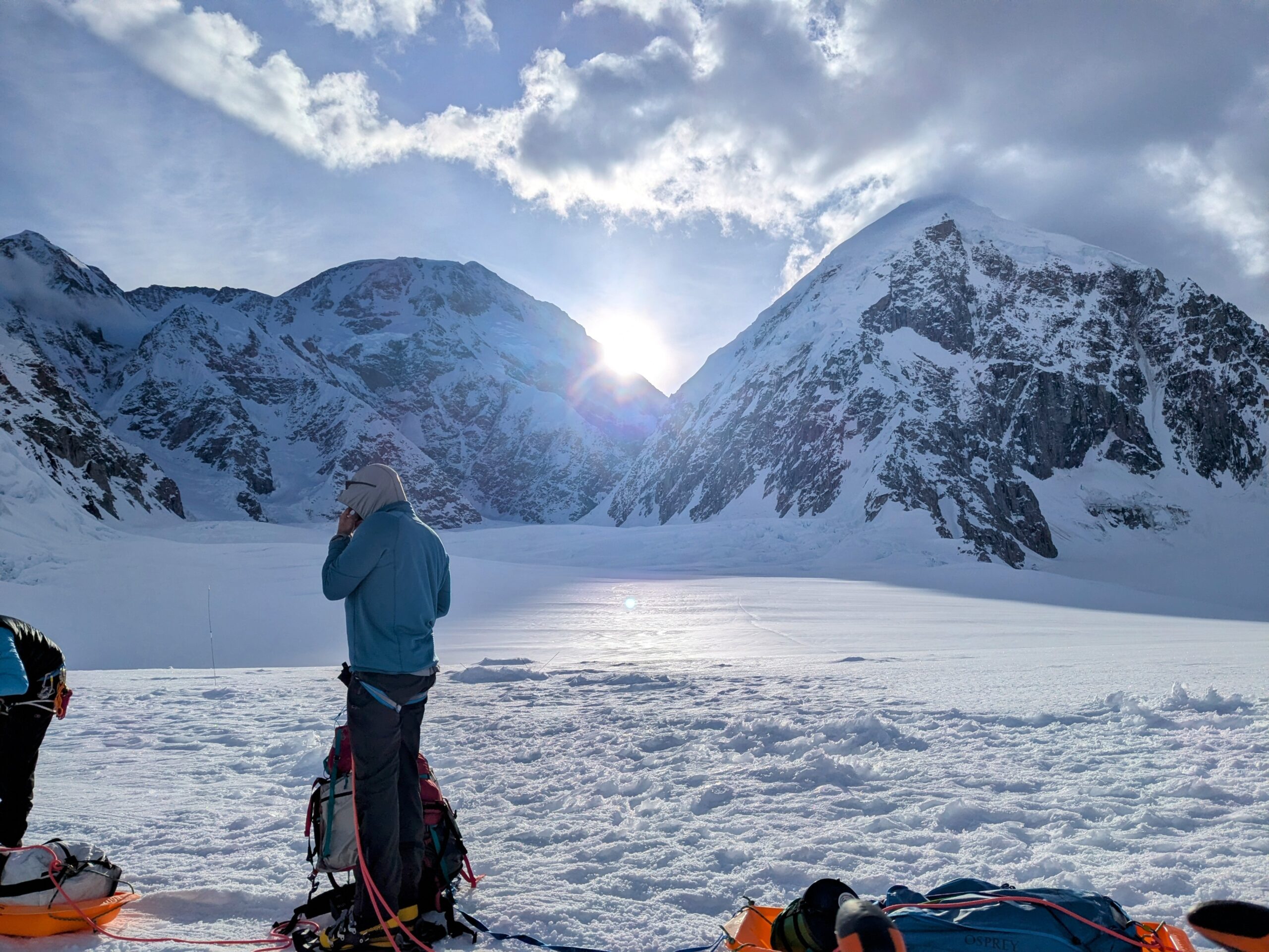
In any event, having gotten two of the first flights onto the mountain and arriving all together nice and early on a beautiful day, we reorganized all our stuff yet again, rigged sleds for travel, and hiked to Ski Hill Camp.
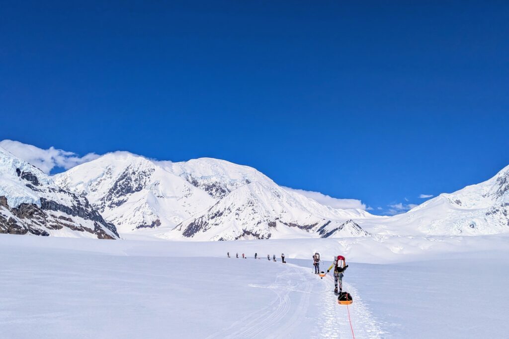
Cache @ 10.2k
Day 2: Hike 6.5hr from Ski Hill to a cache point near 11 Camp and back (~4hr up and ~2hr down)
This first cache day illustrates how a route with five camps takes 2+ weeks. Among the mountain’s challenges are:
- Altitude;
- Lots of stuff to carry.
A common rule of thumb for acclimatizing to the thinner air at altitude is that the human body takes 1 day per 1000 feet beyond 8000ft to adapt. But that’s an average and for a variety of reasons it usually makes sense to go further. Many mountain routes and segments, including on Denali, are roughly oriented around gains of 3000 to 4000 feet. So you move from one camp to another and then spend a couple days letting the acclimatization average catch up.
But acclimatization is boosted by exercise, specifically the increased breathing it entails. It’d be less productive to just sit around for a few days. It also helps to “climb high and sleep low.” I.e., you go up the mountain to breathe in some of that sweet, sweet oxygen-deficient air, start your body adapting, and then retreat back to sleep at a lower altitude.
At the same time you’ve got a lot of stuff to drag up the mountain! Endurance is easier than strength, so in many uphill situations and for many people it makes sense to make multiple trips rather than one big haul.
Put it all together and the camp progressions roughly follow a 3-day cache+move pattern, transporting efficiently while acclimating:
- Climb some significant distance toward the next camp with gear & supplies, bury it in the snow, and return.
- The next day climb up all the way to the next camp and settle in.
- Then the following day is an active rest with just a short hike to go back down and retrieve the cache.
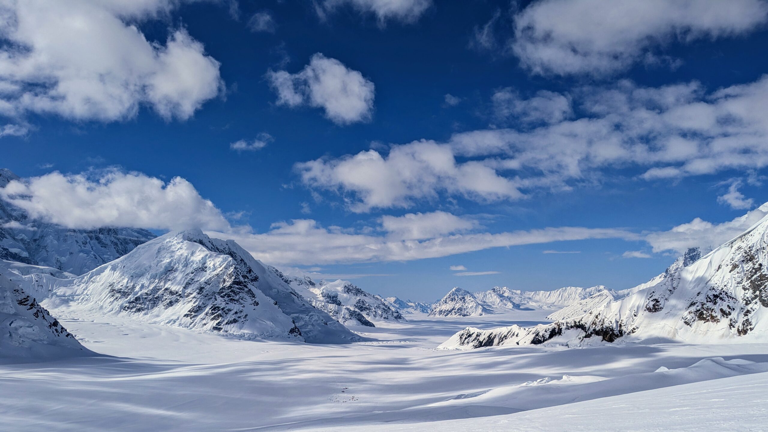
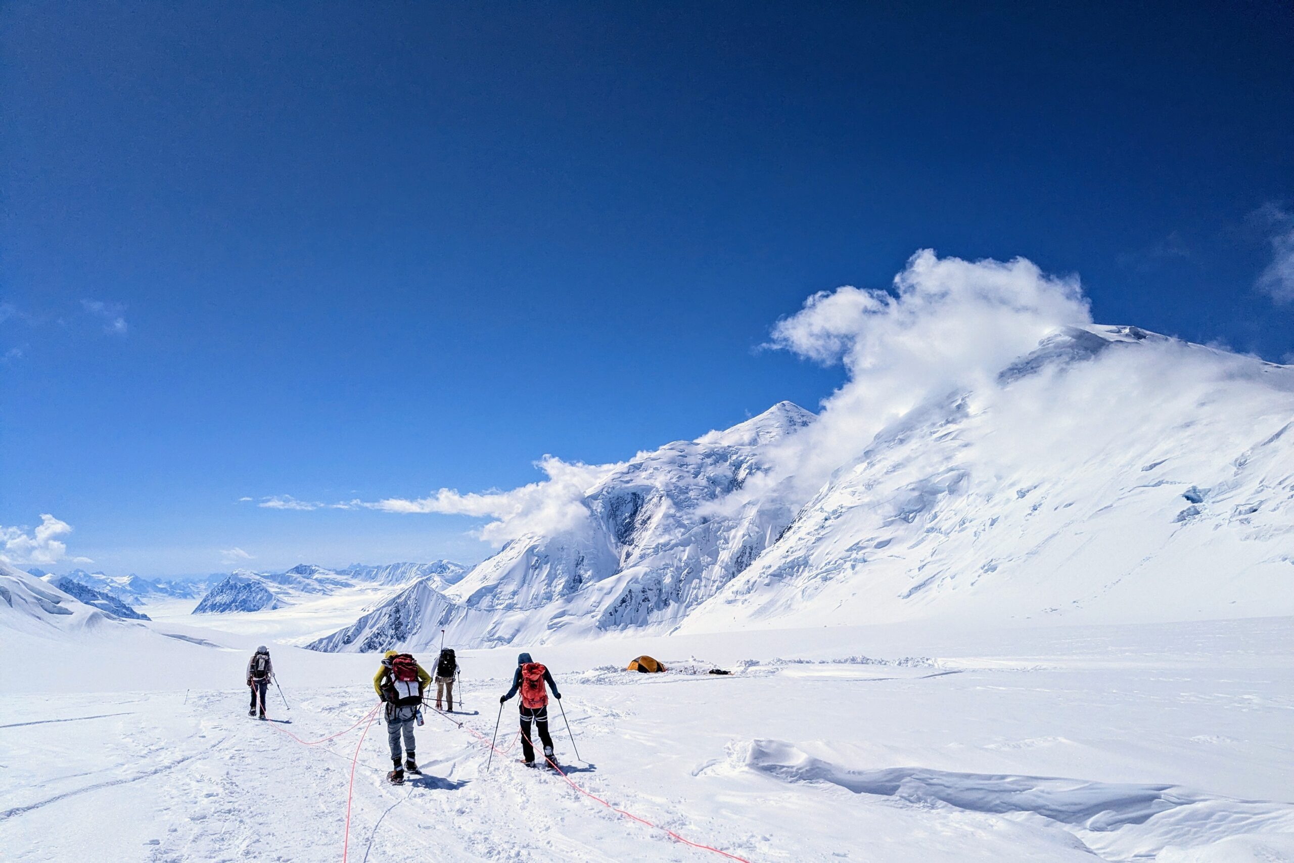
11 Camp
Day 3: Hike 6.5hr from Ski Hill to 11 Camp; camp building 2.5hr
Day 4: Hike 2hr to retrieve cache from 10.2k
Day 5: Rest day; camp building 2hr

The Posh Tent
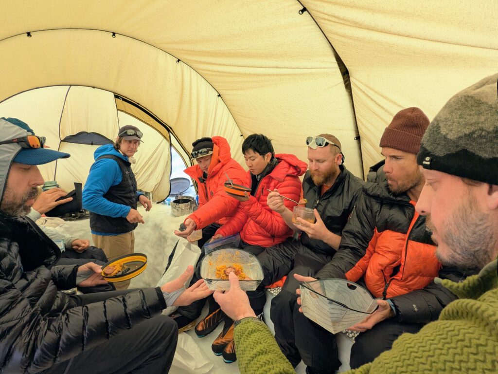
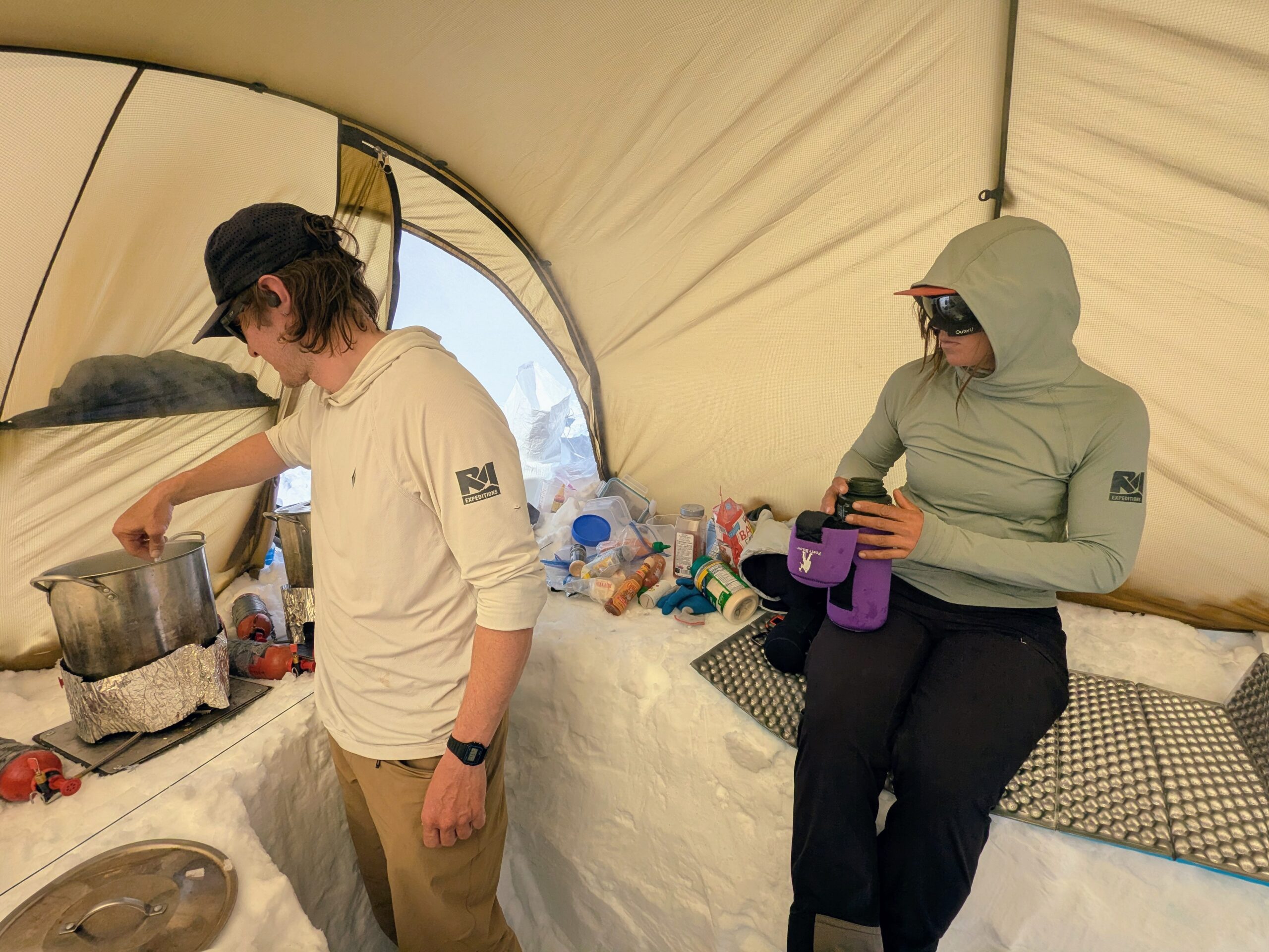
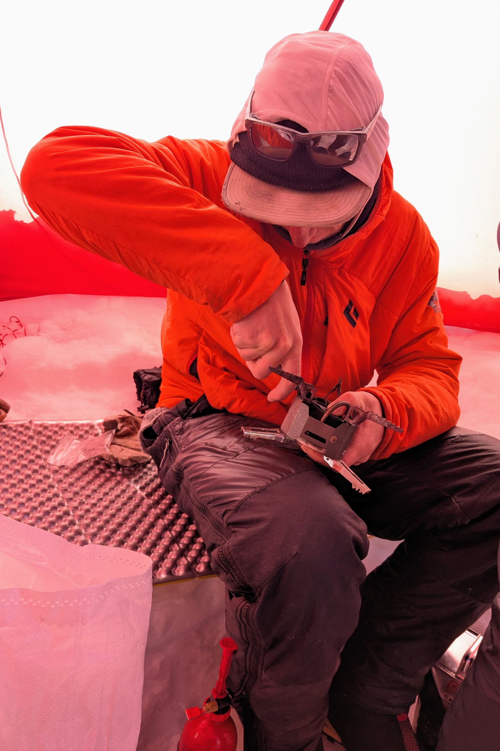
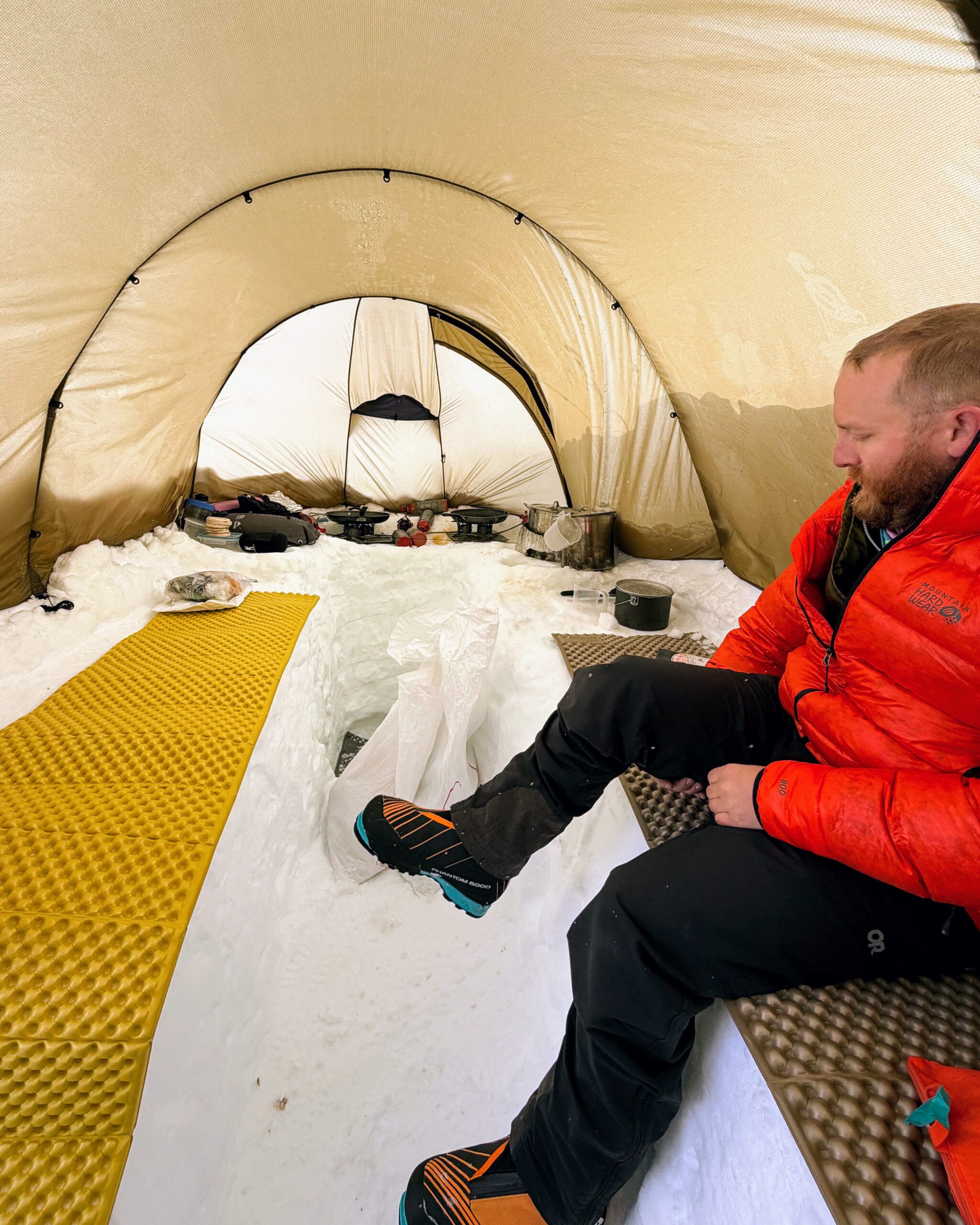
For most of the trip we gathered for breakfast and dinner in the kitchen tent, otherwise known as The Posh Tent. Basically you dig a trench in the ground, flatten out benches along the side, and put the fly of a Hilleberg tent over it, leaving space at one end for cooking. Our multi-talented guides handled all of the cooking and water preparation. One aspect of a long cold weather expedition like this is it’s easy to keep frozen or refrigerated food from spoiling and you’re already committed to carrying a lot of weight. So we carried in pots, pans, lots of foodstuffs and condiments; Daniel, Drew, and Mac put a lot of effort into it; and we ate simply but very well: Burritos, (Impossible) burgers and sausages, scrambled eggs, Thai noodles, Italian pasta, hot cereals, etc.. In the end we only resorted to bagged dehydrated mountain meals at 17 Camp, partly so we had less to carry up, partly because it’s much more time and fuel intensive to boil water and cook at that altitude, and partly because there’s just less hanging around up there.
CMCs
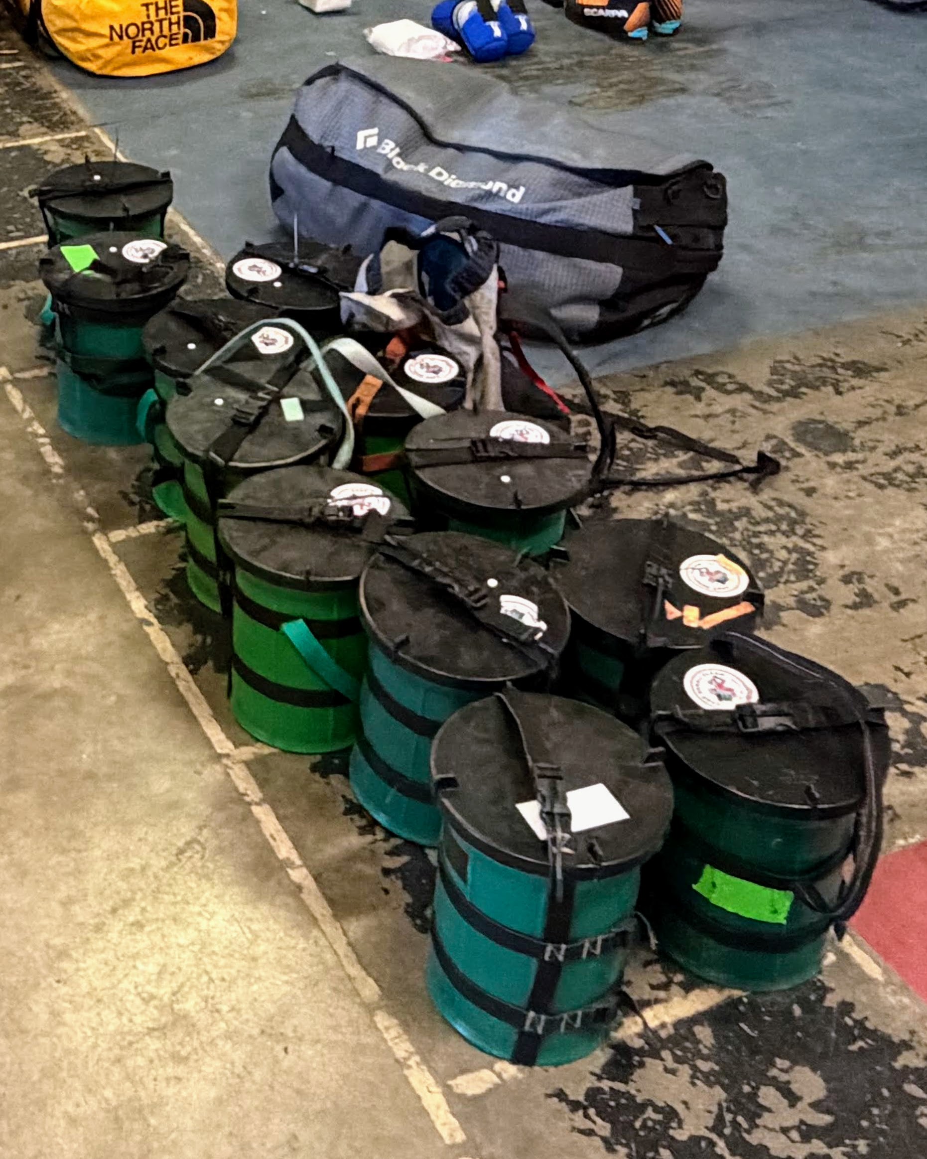
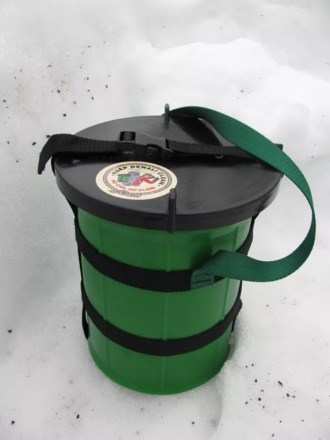
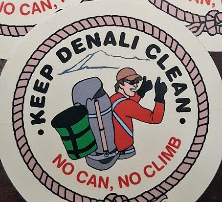
Amid all this beautiful scenery is more important business: Toilets. Solid human waste goes into a Clean Mountain Can (CMC), basically a 2 gallon bucket with a webbing harness for attaching to sleds and backpacks. Purpose-designed by the National Park Service and mandated by park regulation as part of a successful program to reduce the impact of climbers on the mountain and keep it cleaner and healthier, they’re an impressive bit of highly functional engineering. E.g., the bucket wall is thickened at the top to be a more comfortable seat; there’s a vent to accommodate pressure changes across altitudes as well as gas buildup; the lid has tabs that both enable unscrewing it with gloves on and slot into the harness straps to lock it in place; and the harness enables all sorts of attachment strategies. Shockingly no one had ever previously asked the park service for the stickers put on the lids but Zach got us a bunch.
Cache @ 13.5k
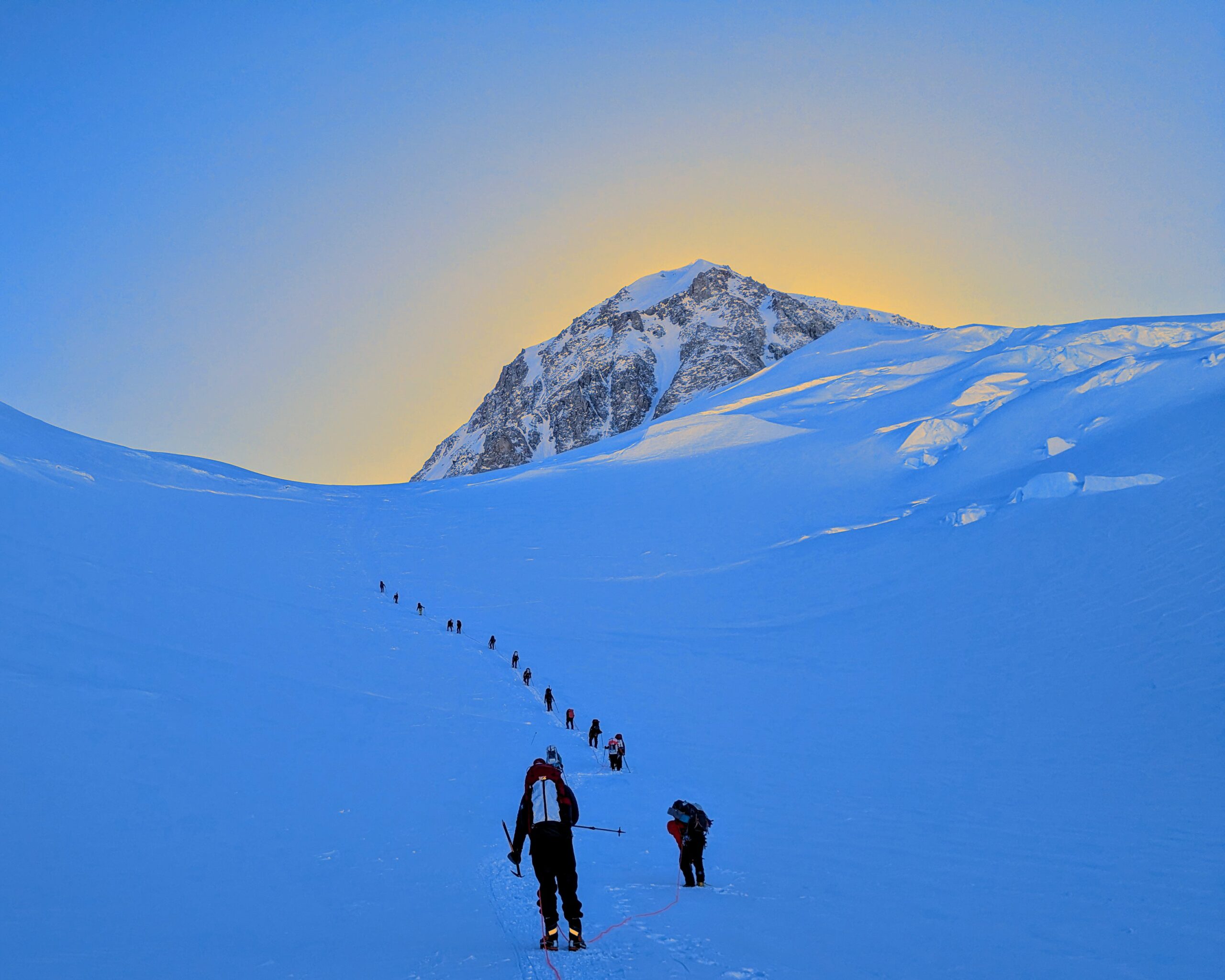
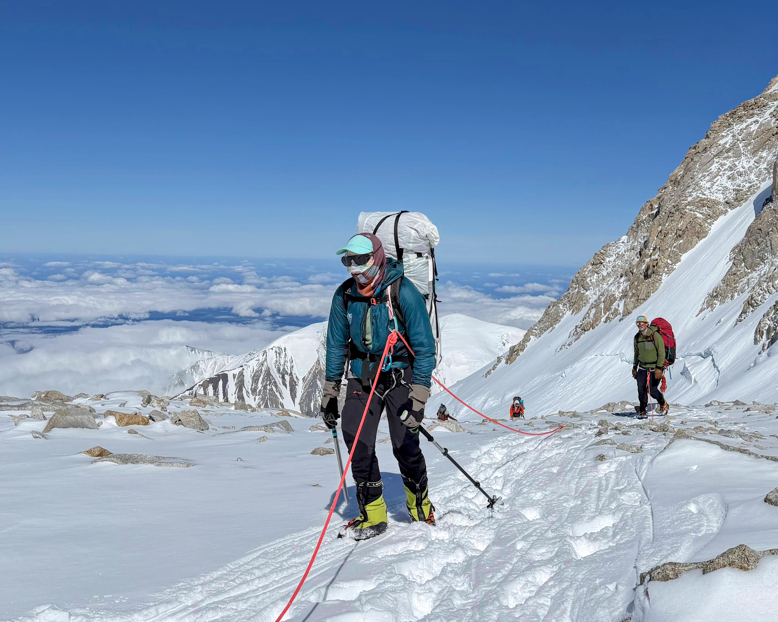
Day 6: Hike 7hr from 11 Camp to a cache point near 14 Camp (5hr up and 2hr down)
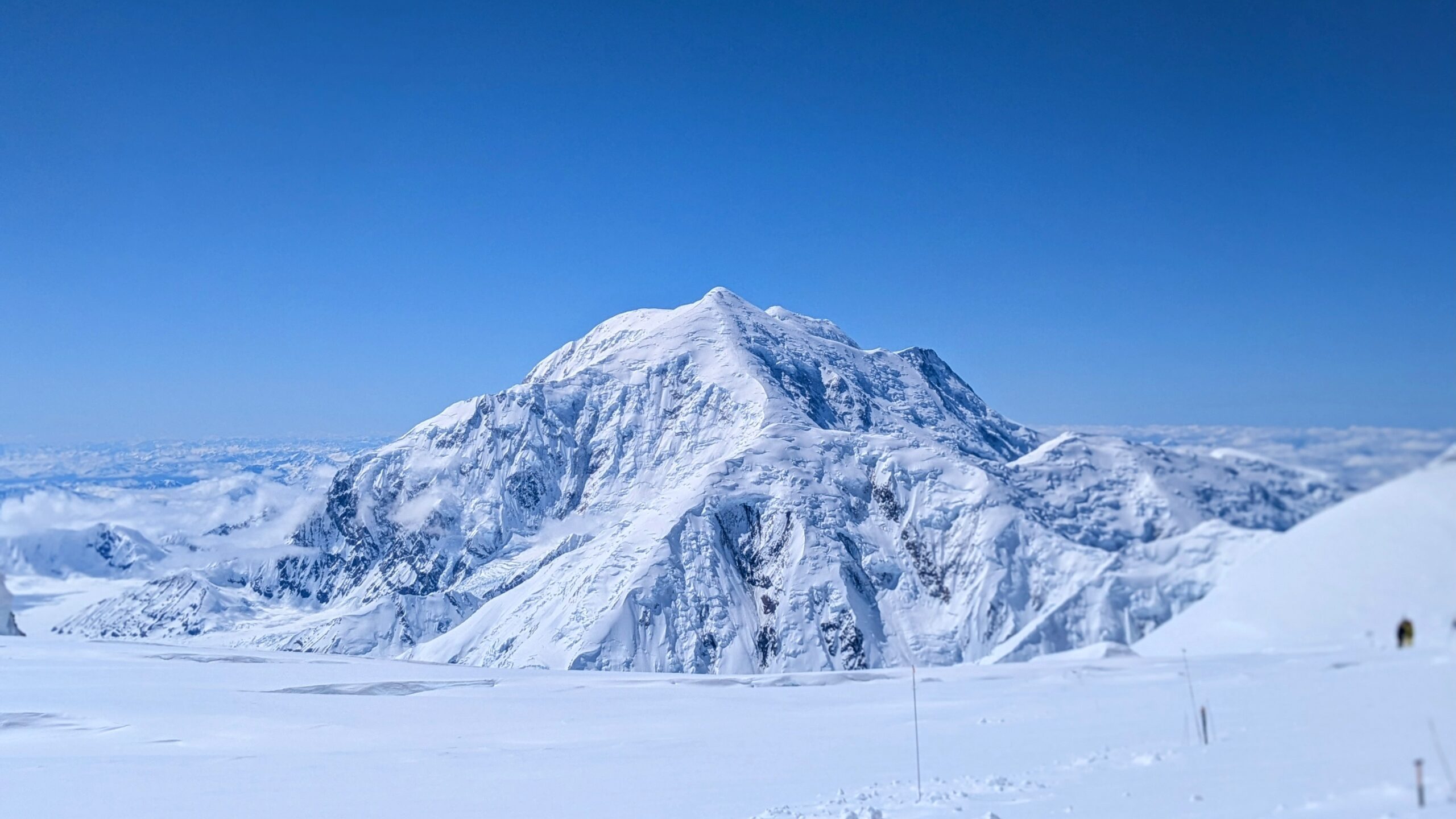
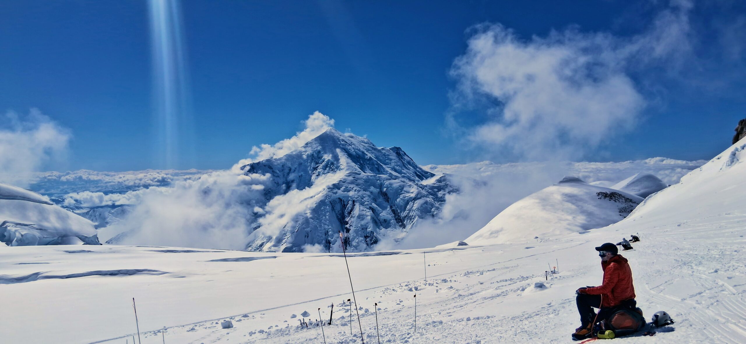
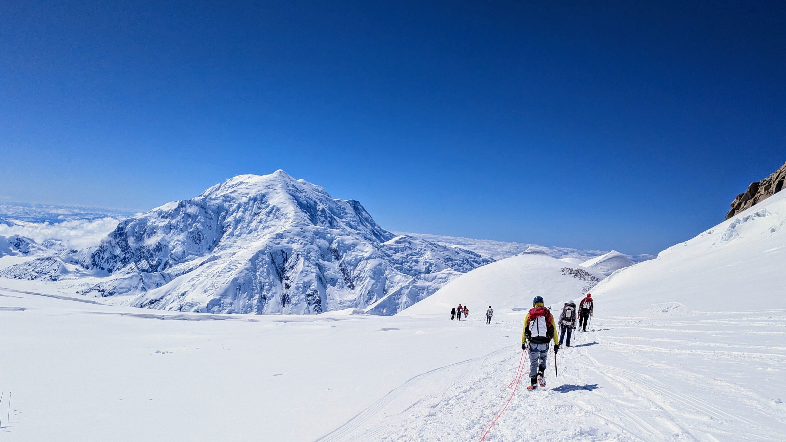
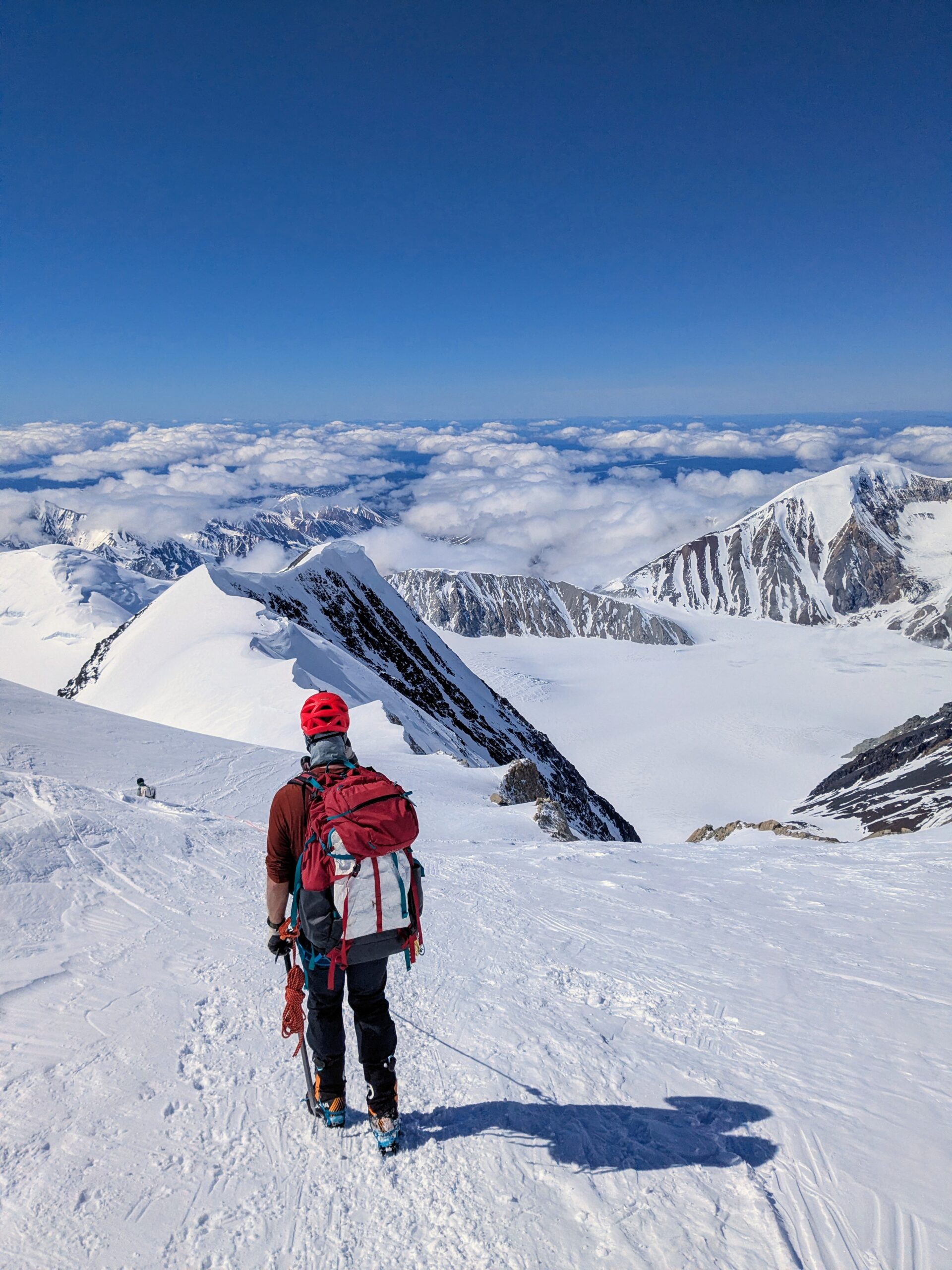
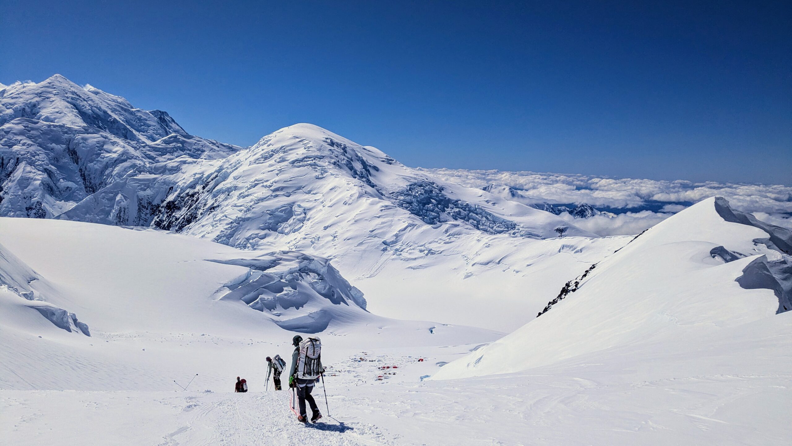
14 Camp
Day 7: Hike 6.5hr from 11 Camp to 14 Camp
Day 8: Hike 1hr to retrieve cache
Day 9: Hike 1hr on side trip to Edge of the World viewpoint
Day 10: Hike 6hr to top of Fixed Lines and back for acclimatization
Day 11: Rest day; camp building 3hr in advance of expected poor weather
Day 12: Weather day waiting out modest storm throughout the morning that drops maybe a foot of new snow
One of the theme songs & mantras for our Ecuador group is “Vamos a la playa!“
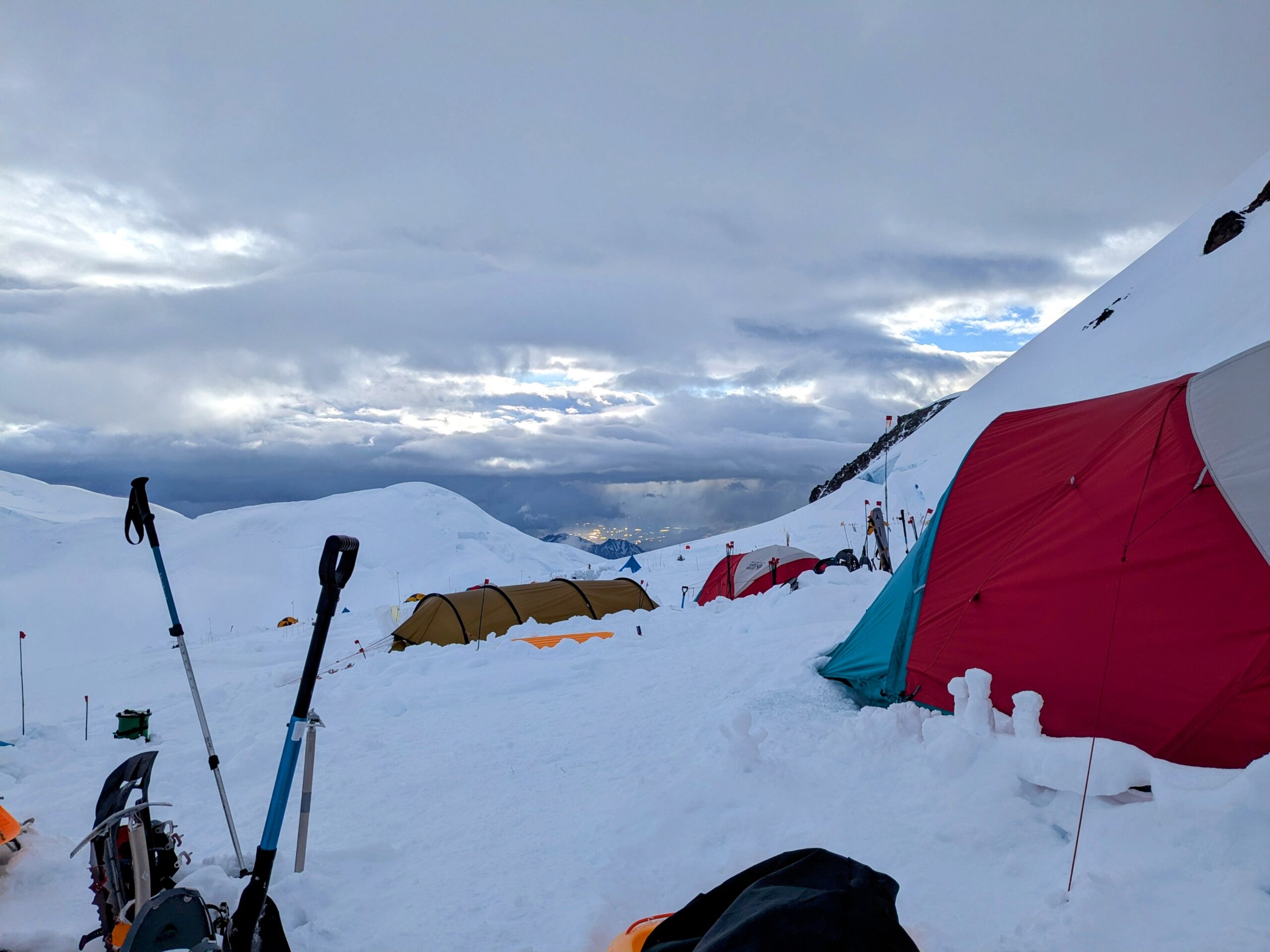
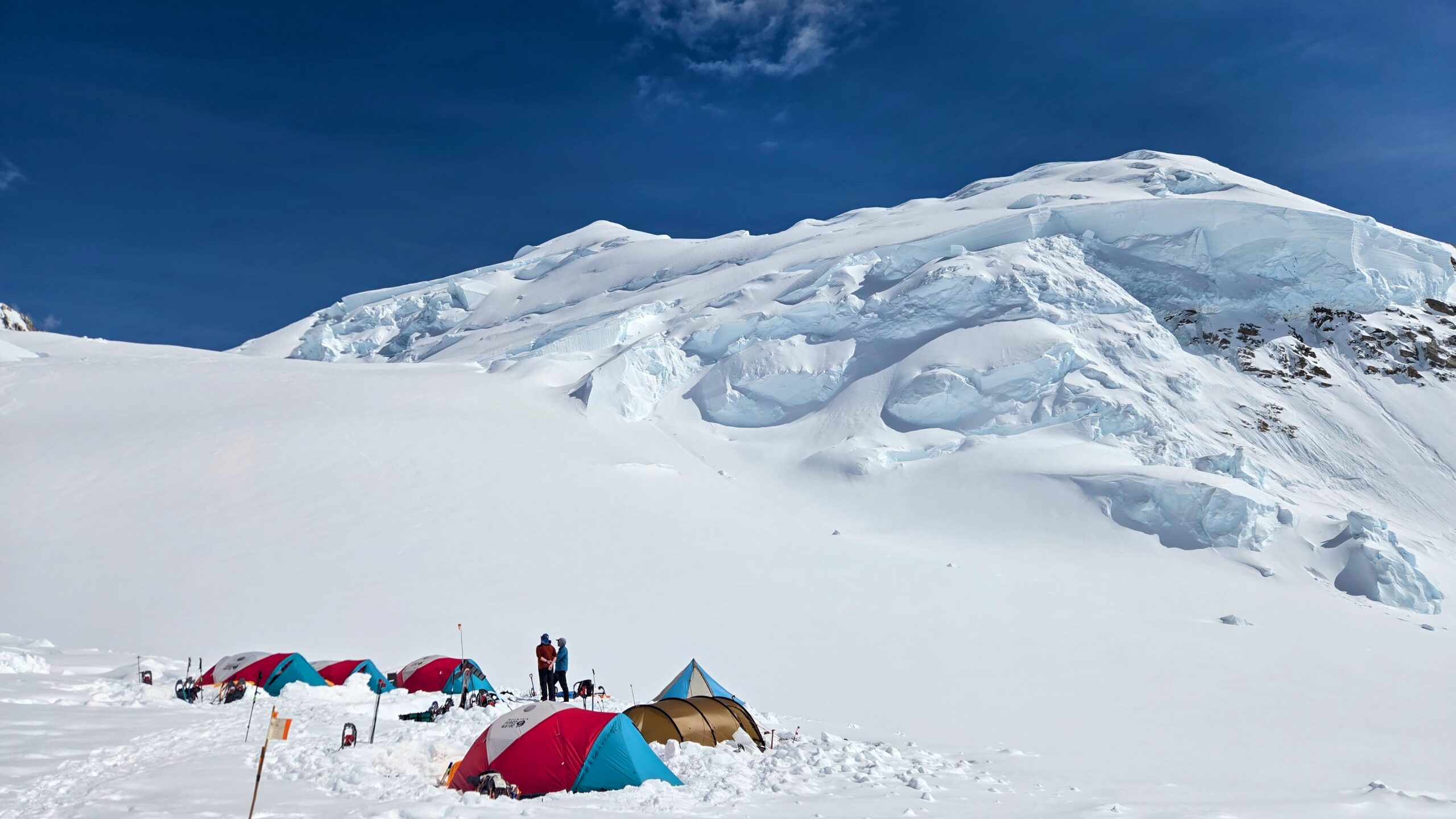
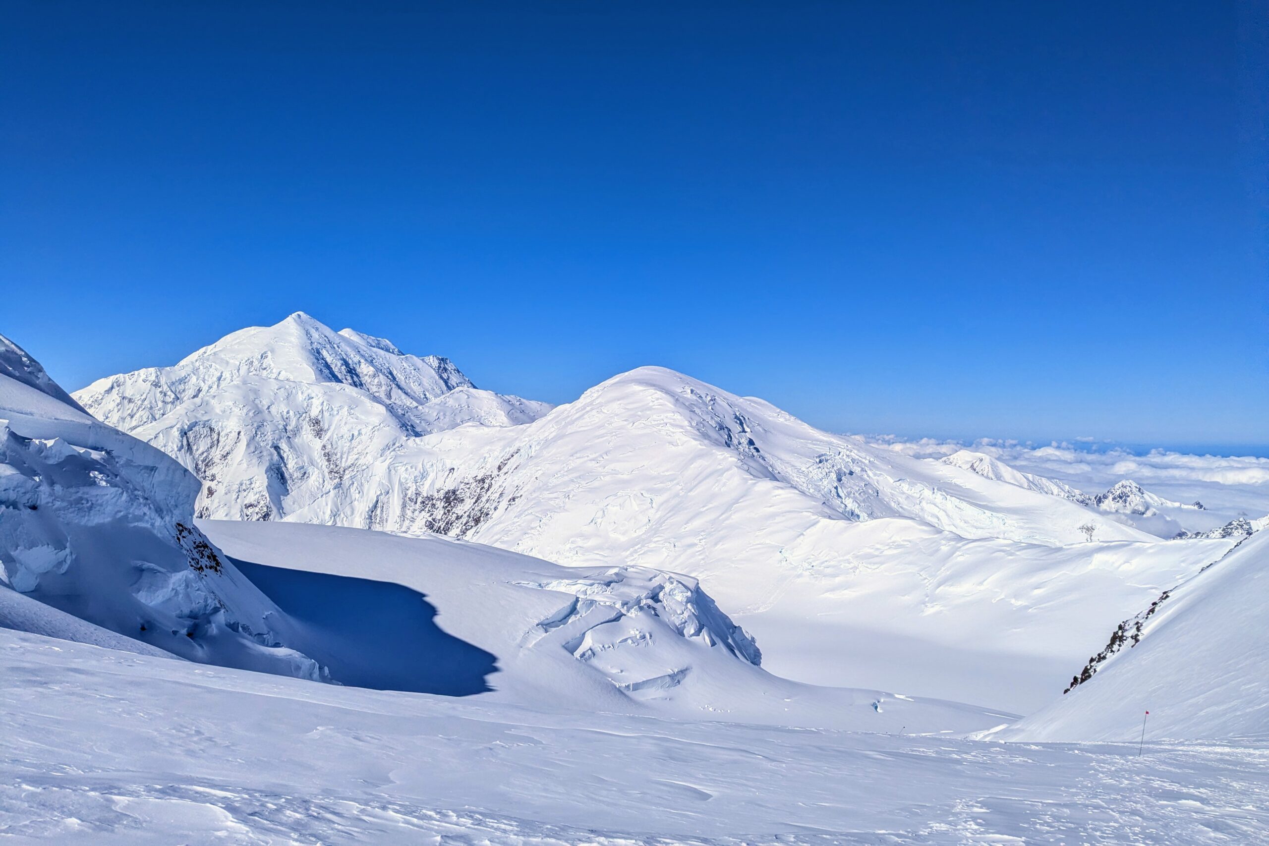
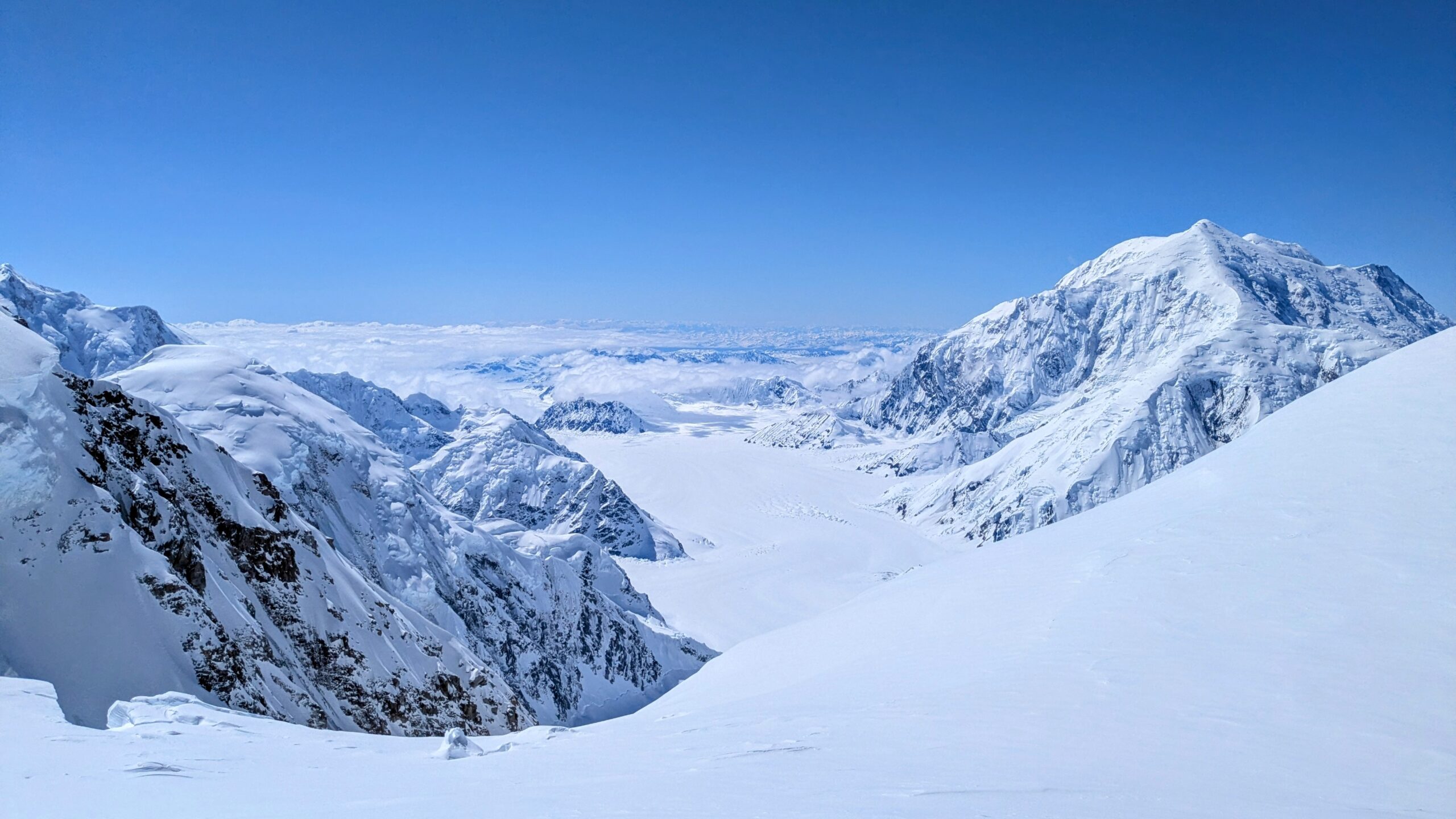
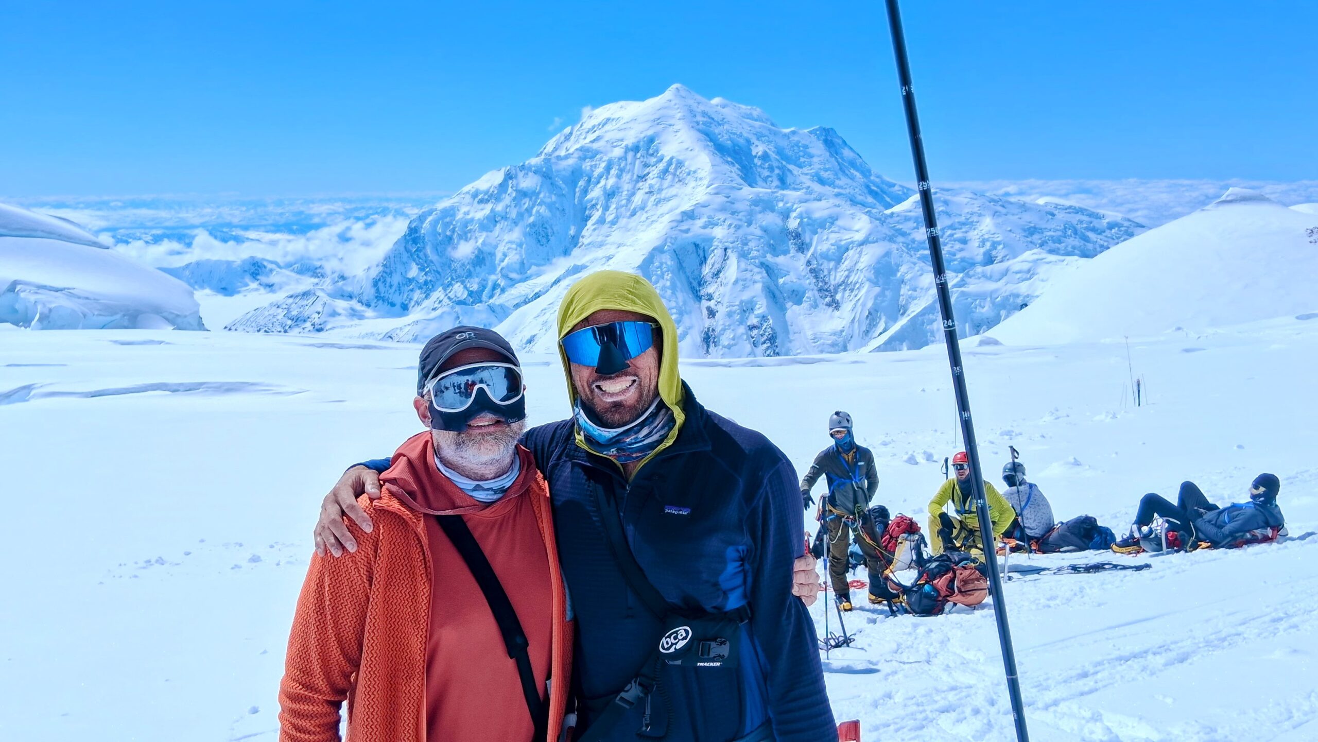
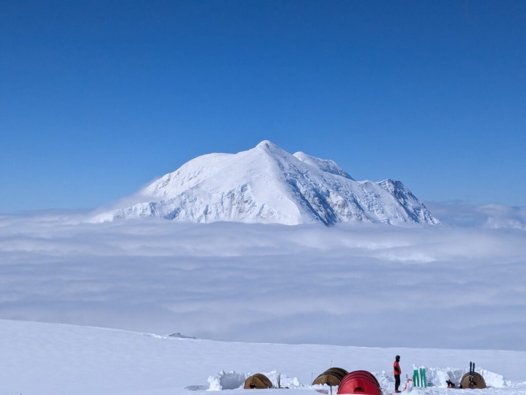
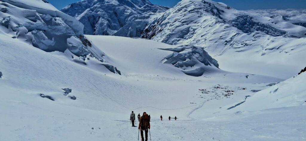
On Denali la playa is 14 Camp. If the skies are clear it’s brilliantly lit, has a stunning view in all directions, and is often quite warm (considering). On a standard West Buttress itinerary you also spend a lot of time at 14 Camp just hanging out, acclimating and then waiting for clear weather toward the summit: Ours and many groups hold for a favorable 3 day forecast before proceeding to 17 Camp, hoping to then move directly on to the summit and avoid an extended stay in the high camp’s diminished oxygen and colder, harsher environment. So la playa it is!
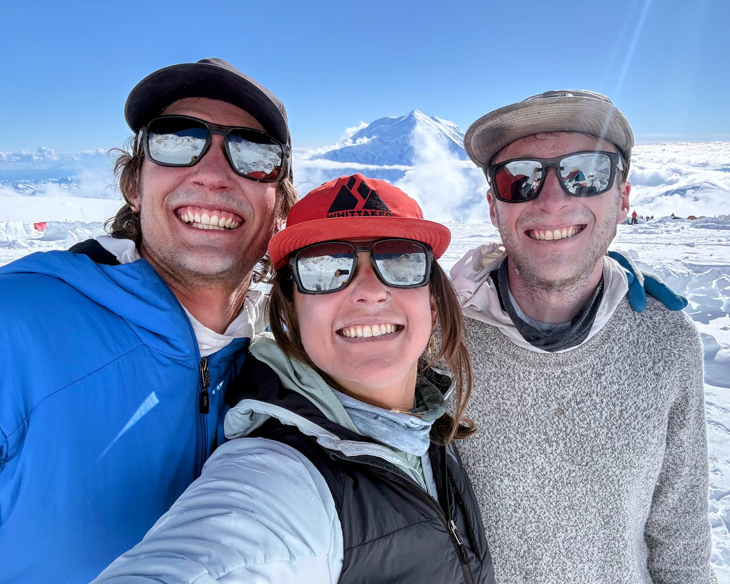
We built walls to rival a Roman encampment, dug holes for no real reason, labored over ever more elaborate monuments to our mountain gods, and crafted elaborate lounges to establish a fine glacier-side beach resort where we sat eating candy and listening to music, passing around control of the Bluetooth party speaker that Zach lugged up and down the whole hill.
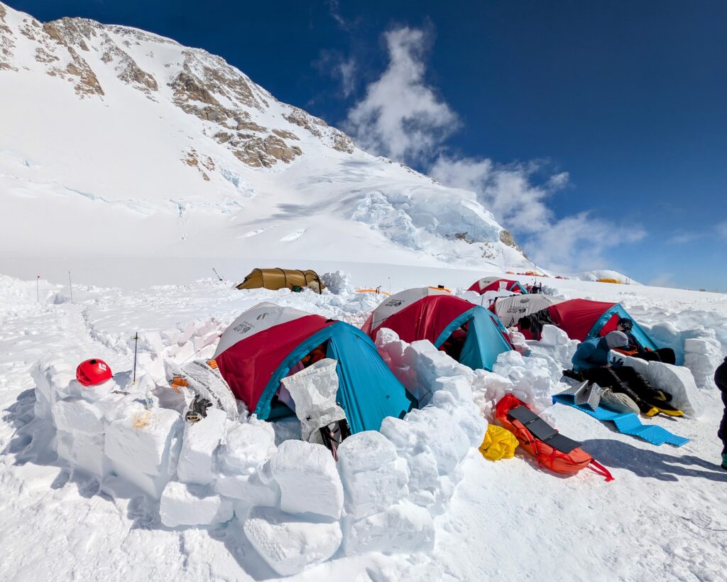
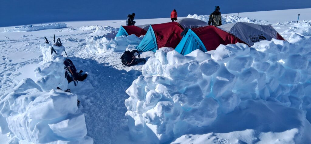
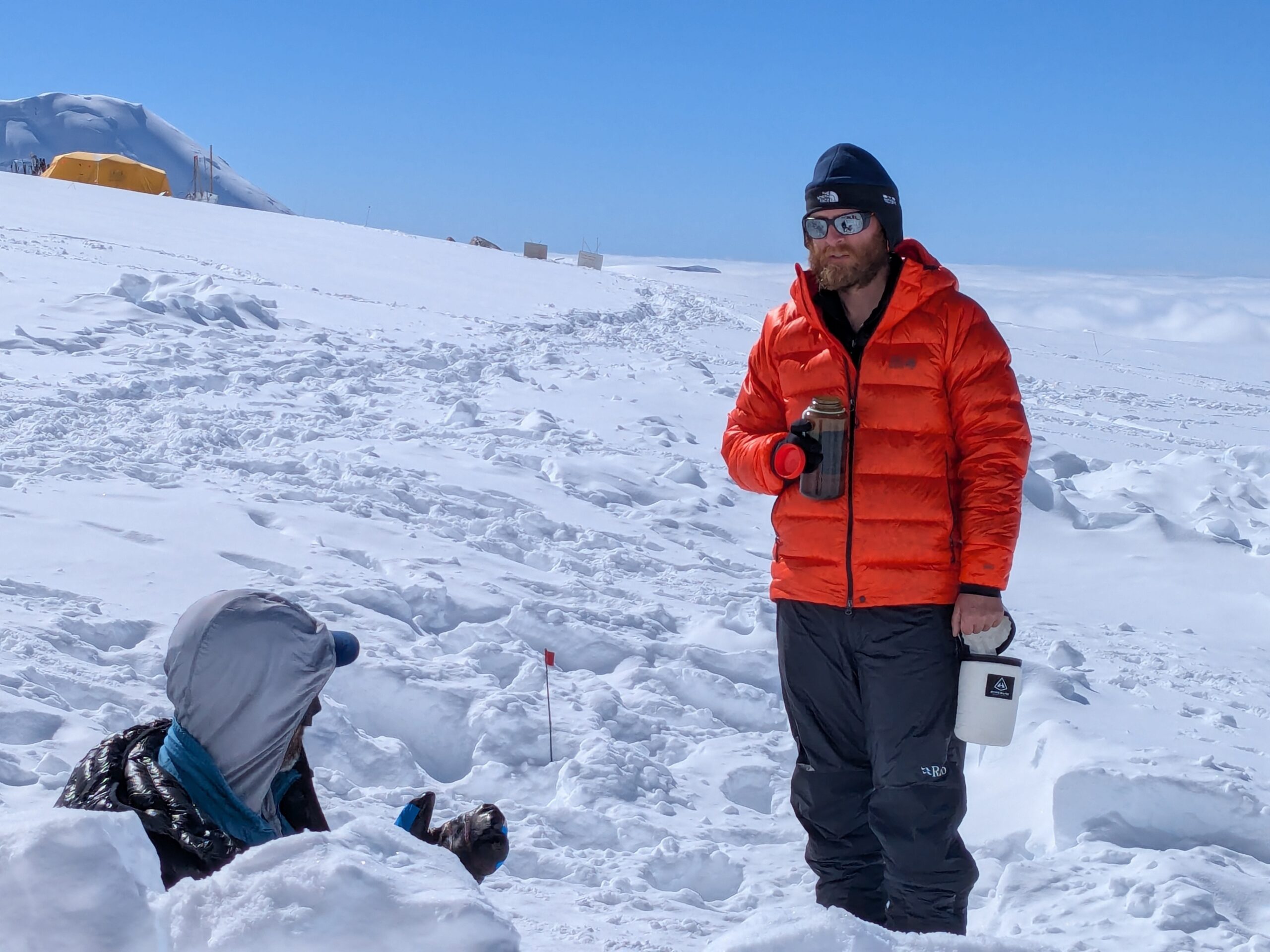
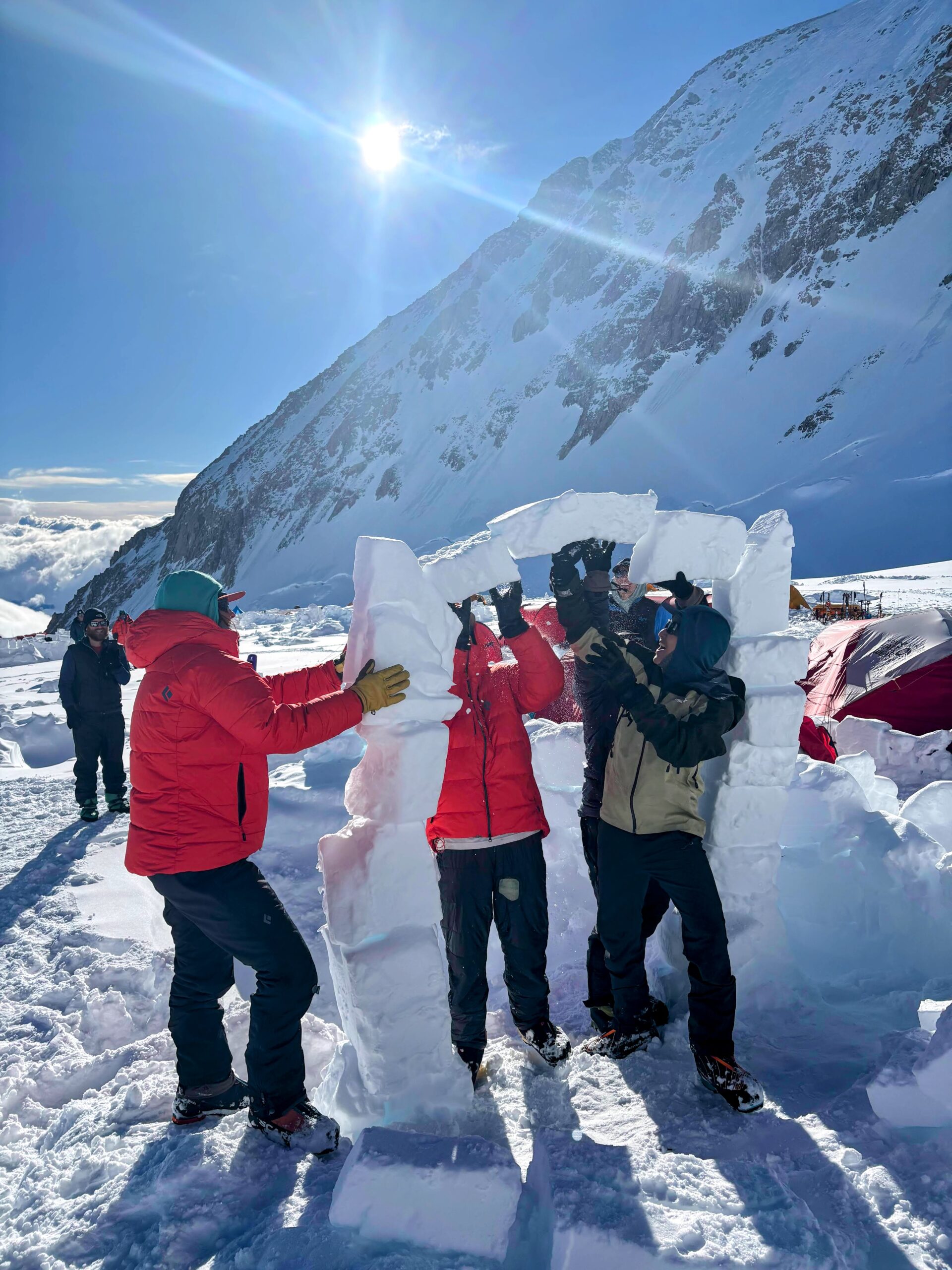
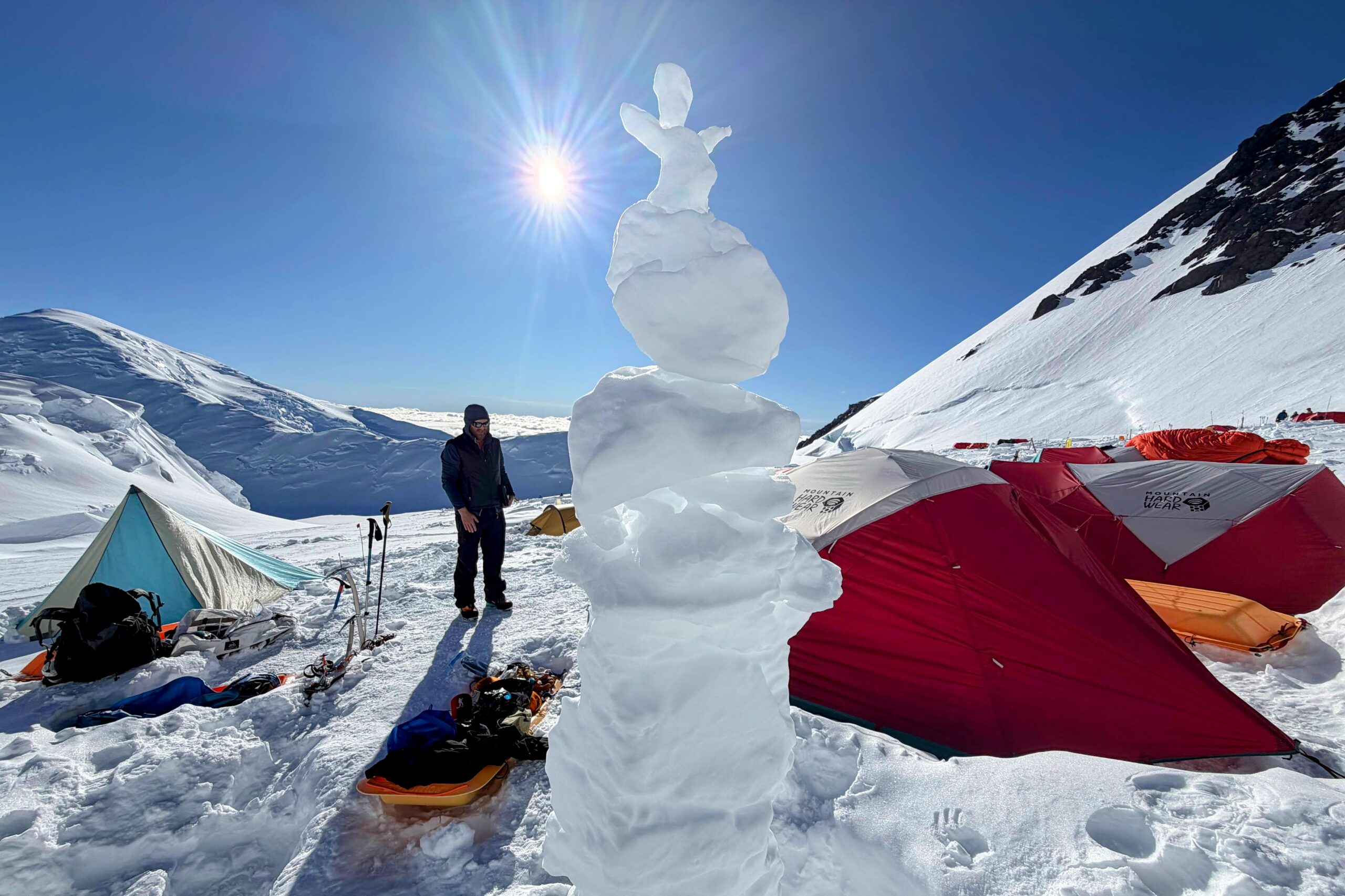
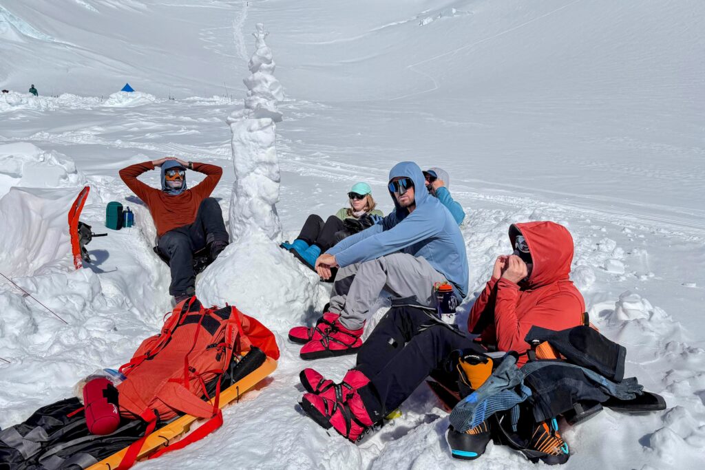
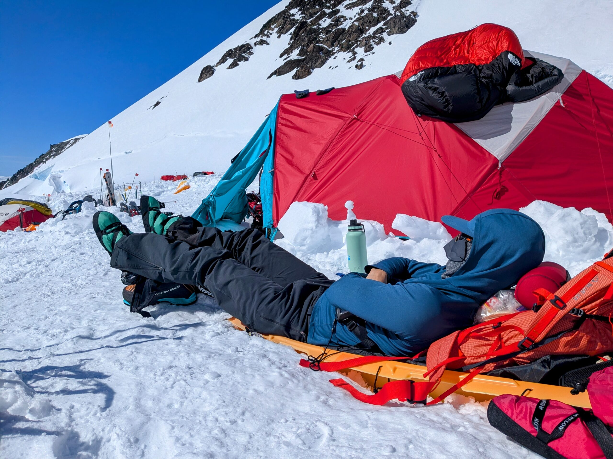
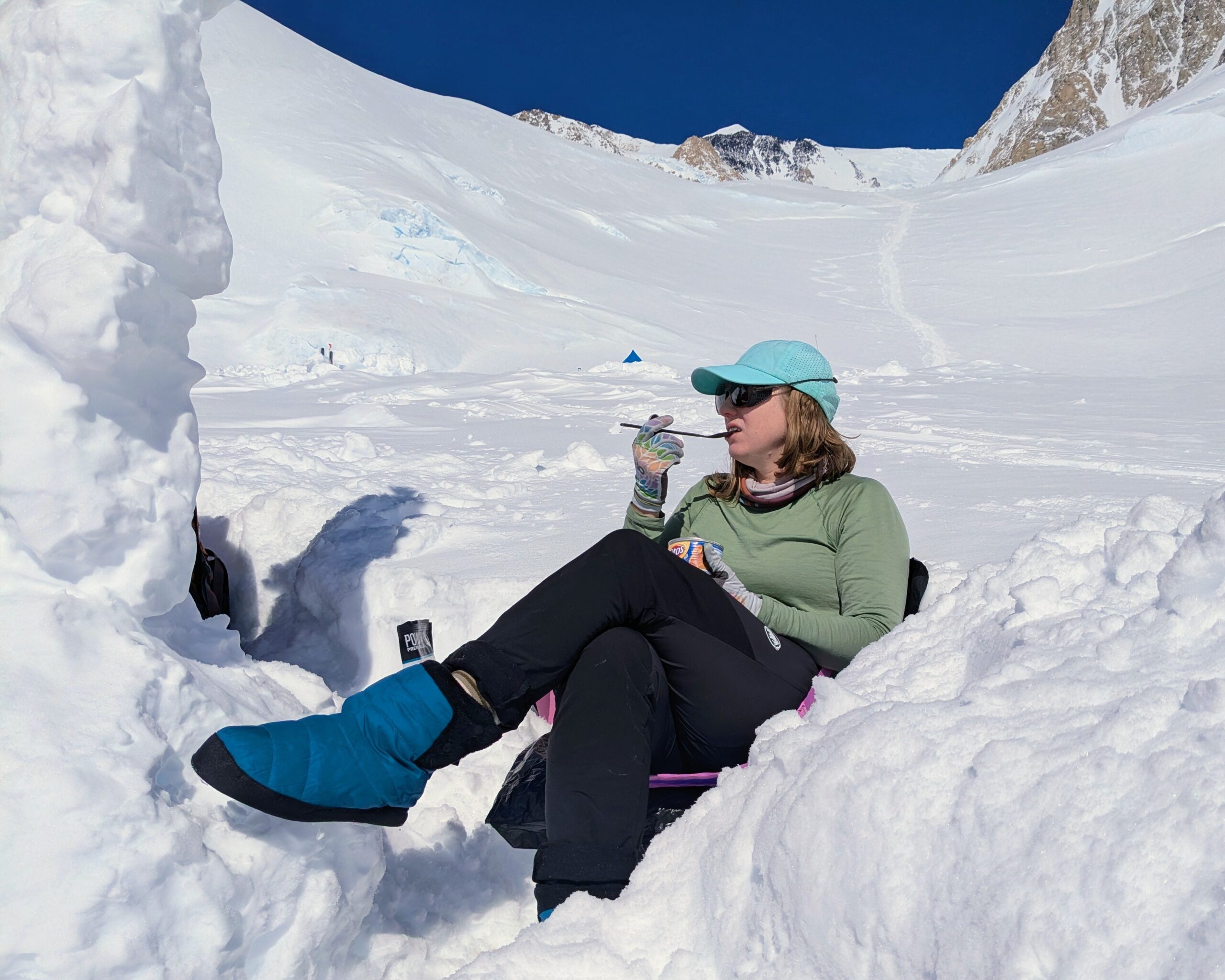
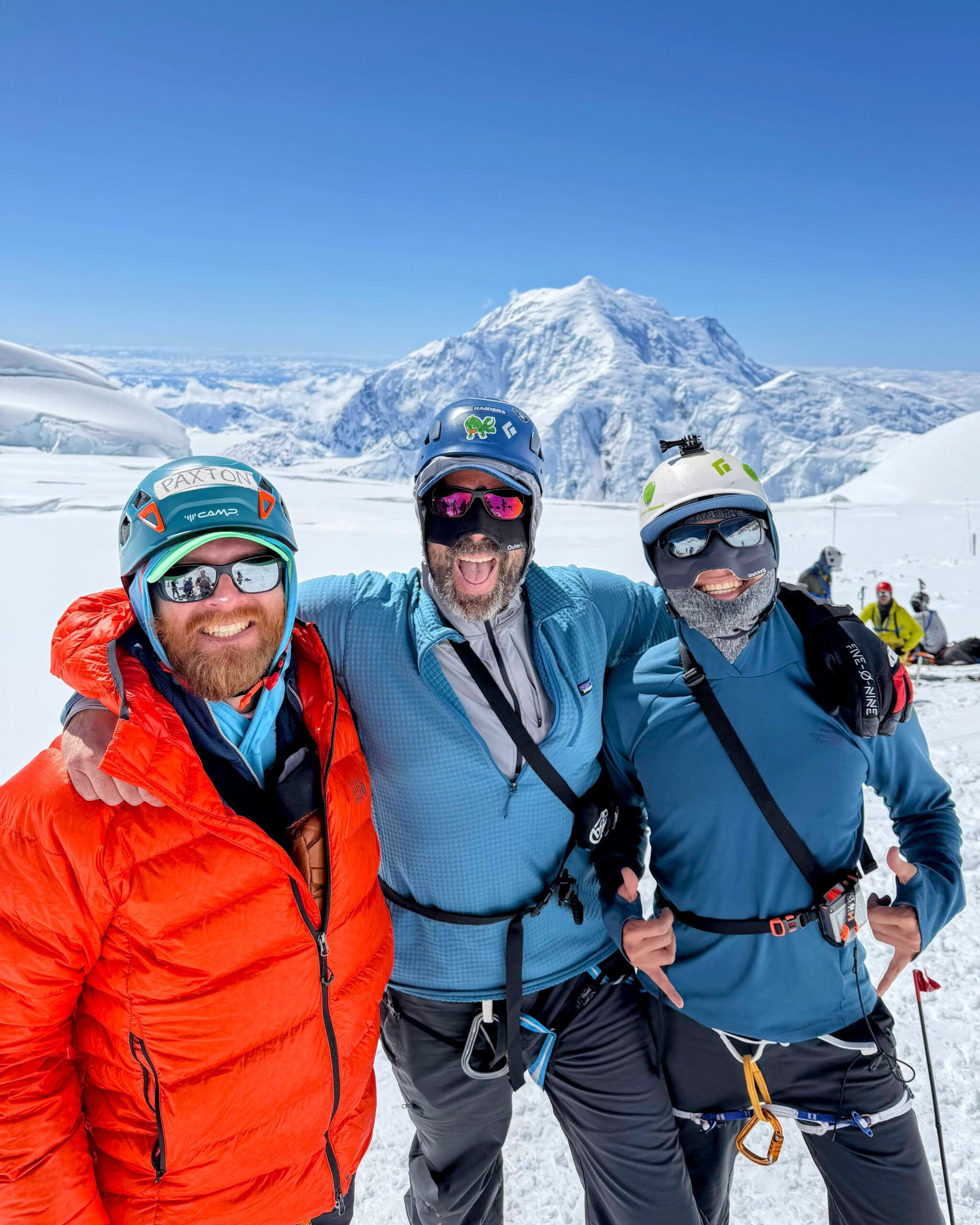
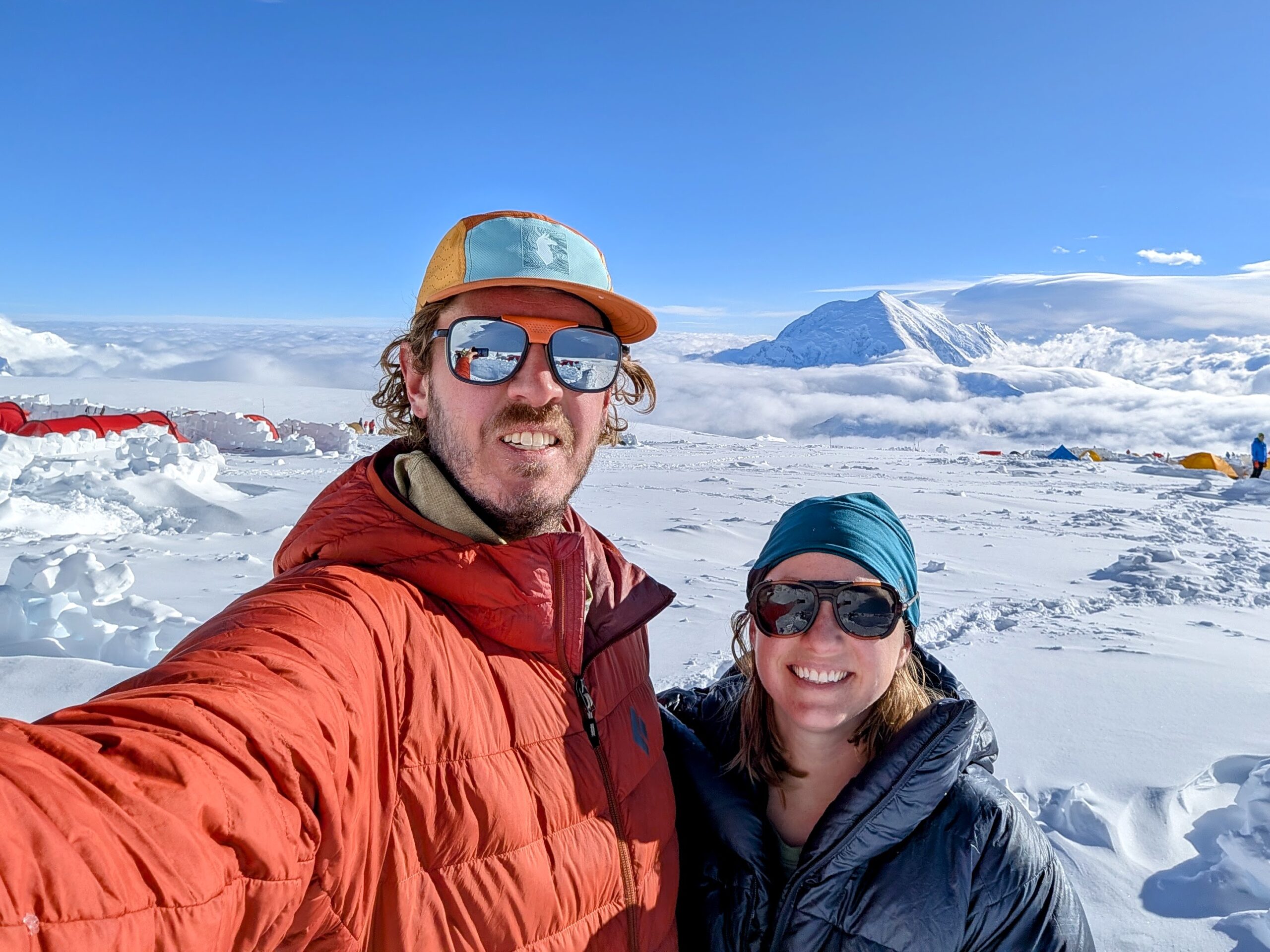
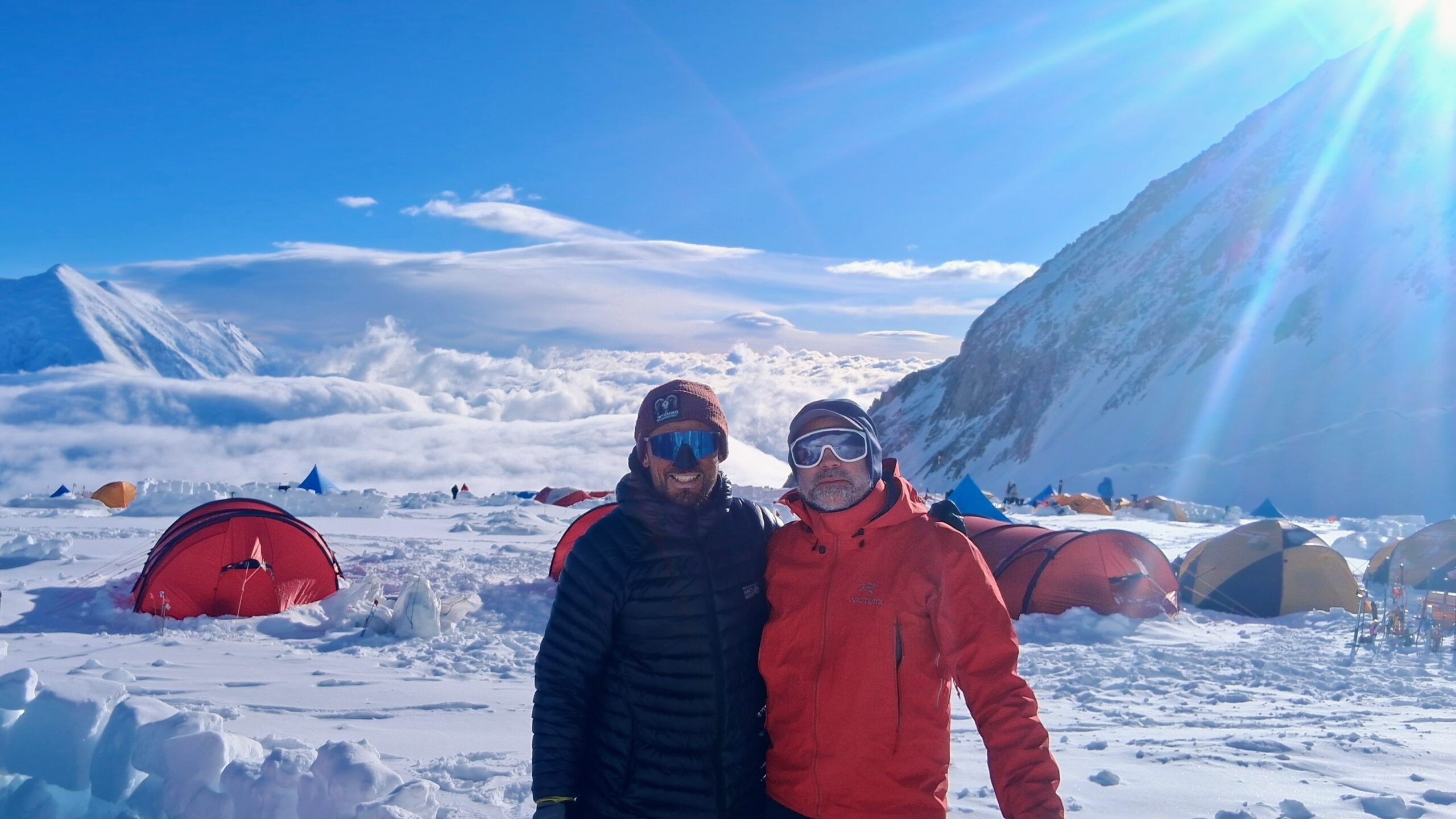
Of course we also spent just a little time in our tents…
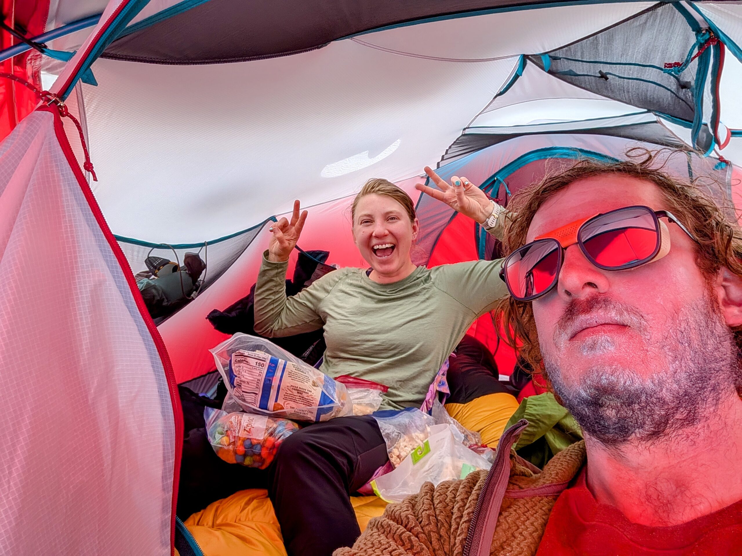
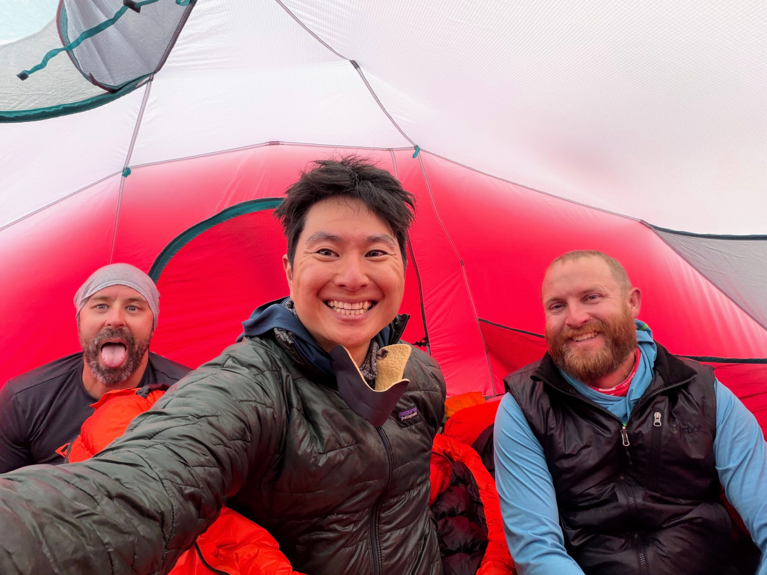
We were extremely fortunate though and across the whole trip only spent one morning stuck in our tents waiting out weather, a decent amount of snow but only moderate winds at 14 Camp. This imposed an extra rest day before moving on, but that’s worlds better than the three, four, seven extra days that teams had spent stuck in storms in the weeks just before we got to the mountain. Teams immediately behind us also got more weather—even as the skies cleared up for us that afternoon, everything literally immediately below 14 Camp was still caught up in it.
14 Camp: Fixed Lines
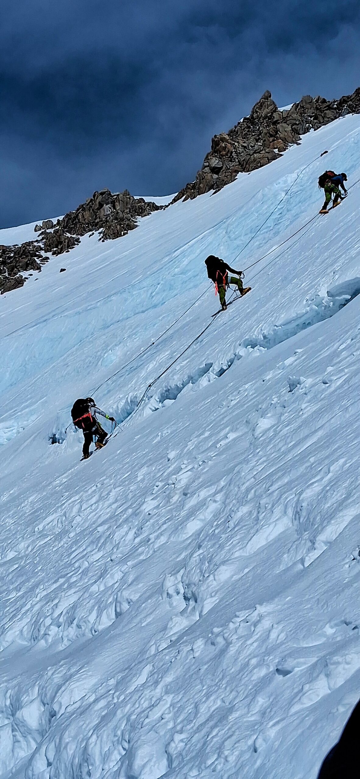
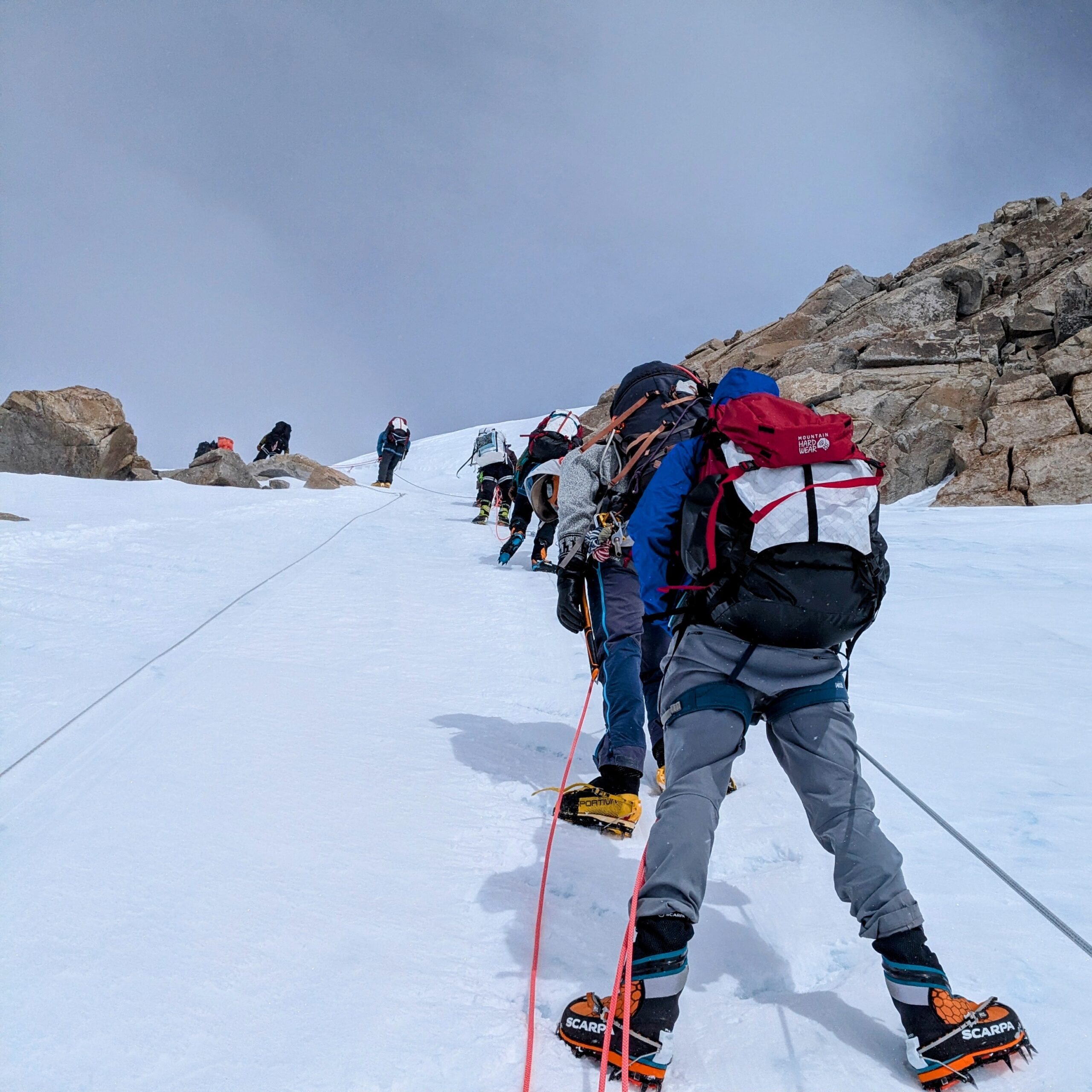
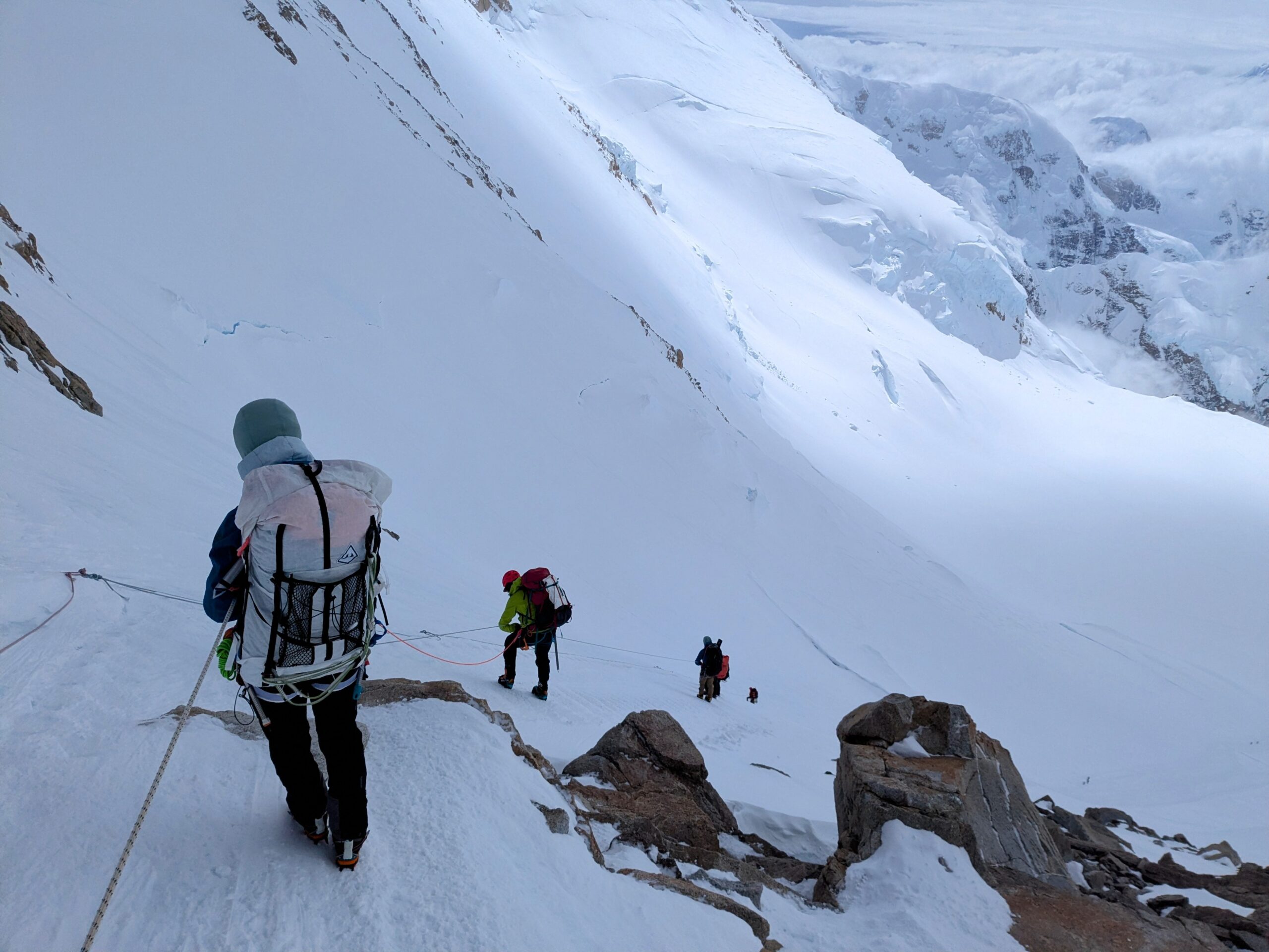
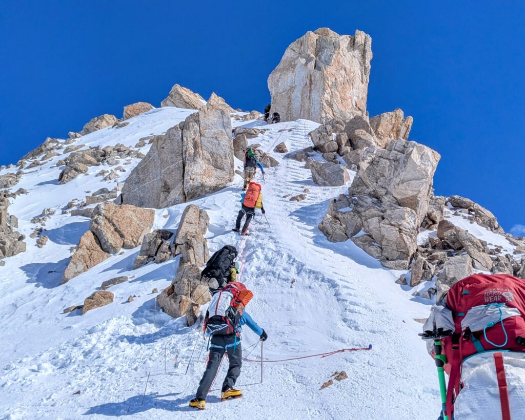
Heading on to the upper mountain, the Fixed Lines just above 14 Camp are a major feature on Denali. They’re found on many big mountains and ubiquitous in parts of the world, e.g., the Himalayas, but not so much in North America.
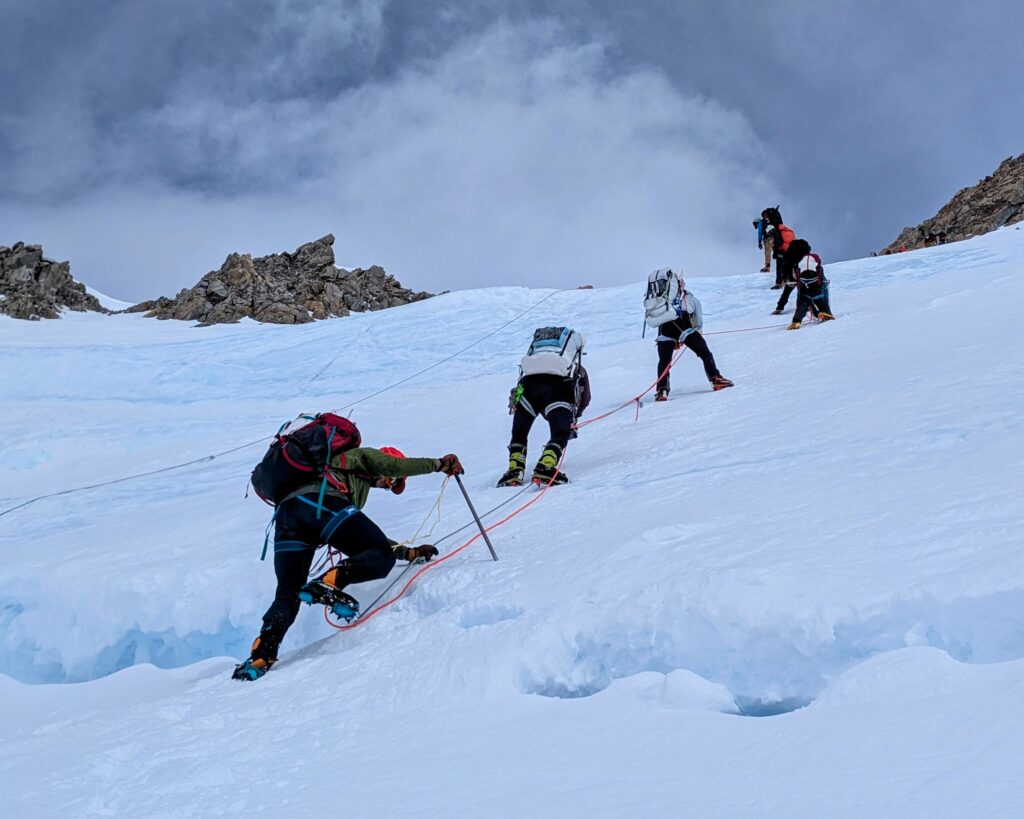
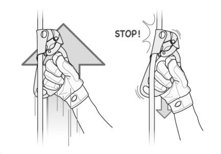
A fixed line is a rope anchored to the ground, in this case a whole series of ropes, effectively permanently. New ones are emplaced at the start of each climbing season as the old ones sink into the ice. There are a number of different ways to use fixed lines, but we used mechanical ascenders for upward travel. These devices route the rope past a cam with needle spines pointing downward. Going up the cam just slides along the rope but going down the needles dig into the sheath of the rope and grab (without destroying the rope). Generally a hand is kept on the ascender to push it along but it’s also tied to your harness so your attachment to the fixed line is not reliant on your grip.
Going down you either use a descender or, like we did, just wrap the line around your arm and pinch with your fingers. This generates an enormous amount of friction controlling the rate of your descent. As a backstop the rope team also reverses and the guides, now last in line and above their rope team members, attach themselves mechanically to the fixed lines. One method is to use an ascender with a deadman trigger that holds the cam away from the rope until released, at which point the needles dig in, but there are a number of devices and techniques.
17 Camp
Day 13: Hike 7hr from 14 Camp to 17 Camp
With a clear forecast comes the big 3-day push: Going to high camp, summiting, and returning.
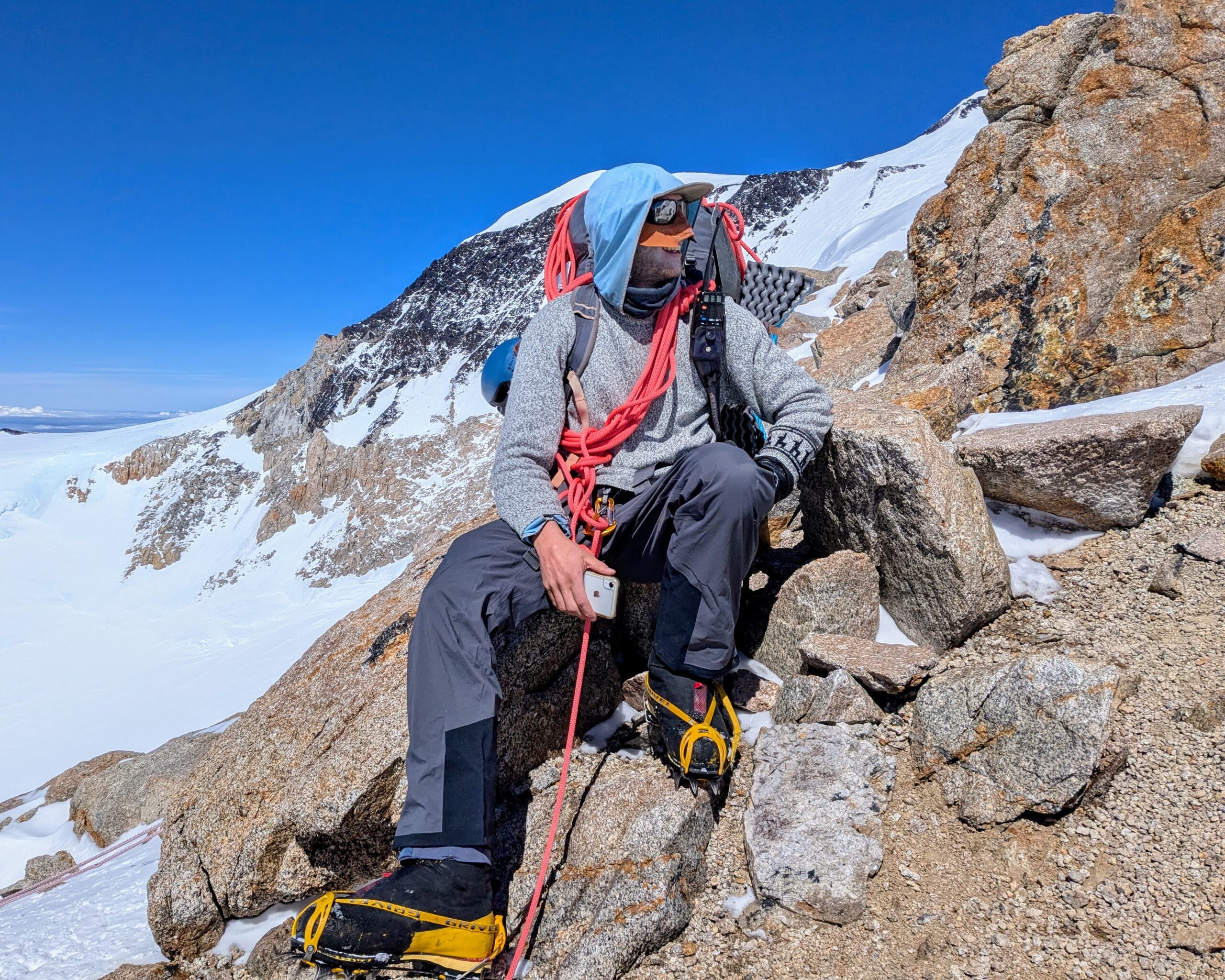
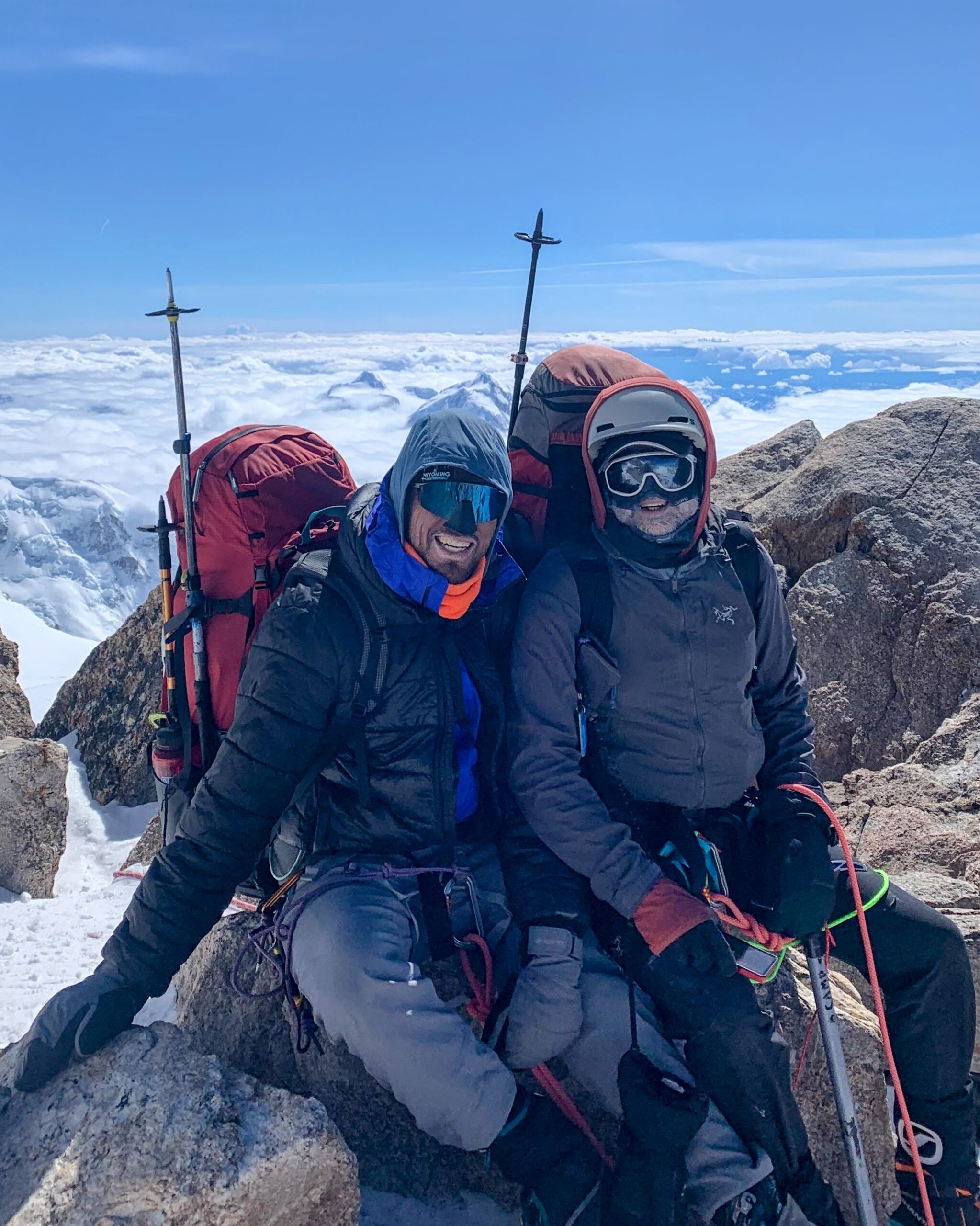
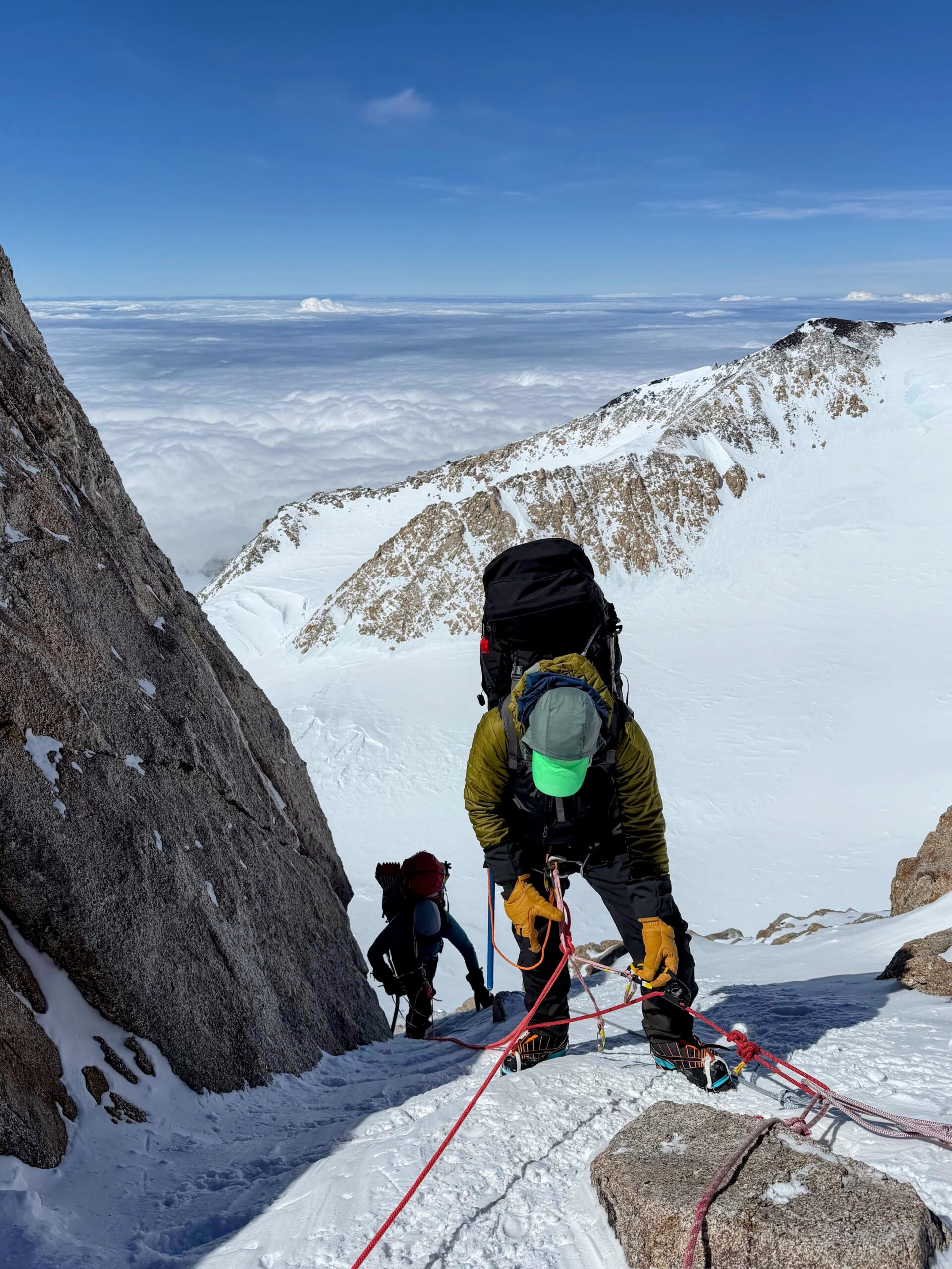
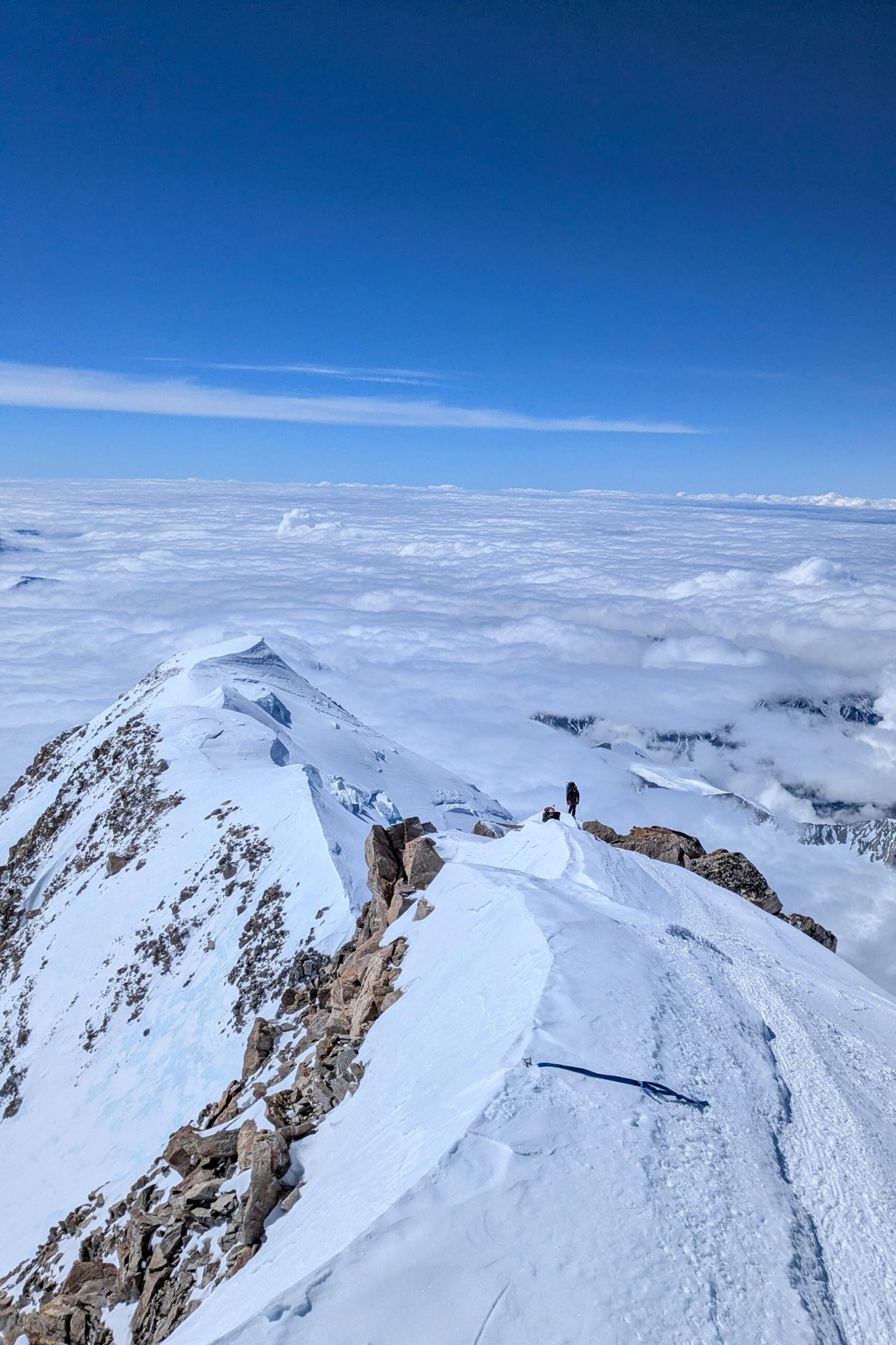
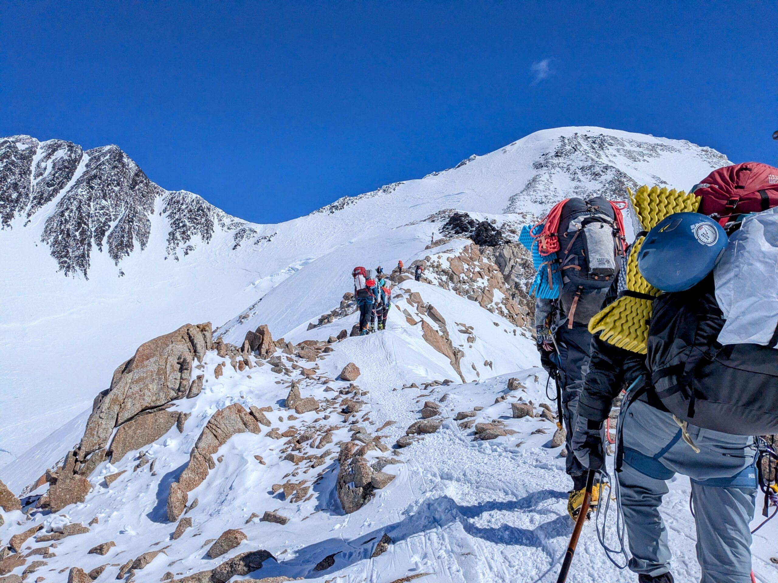
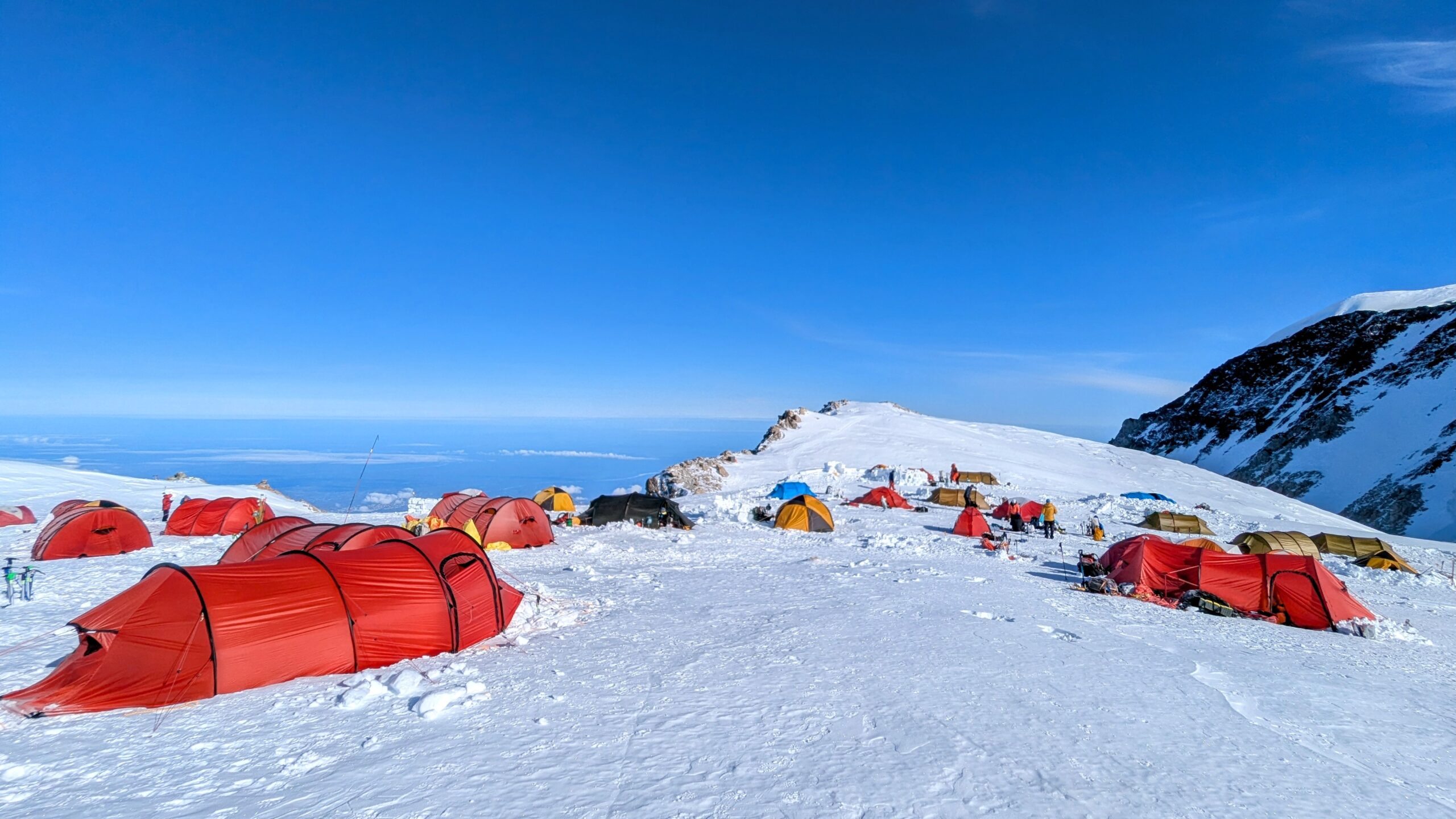
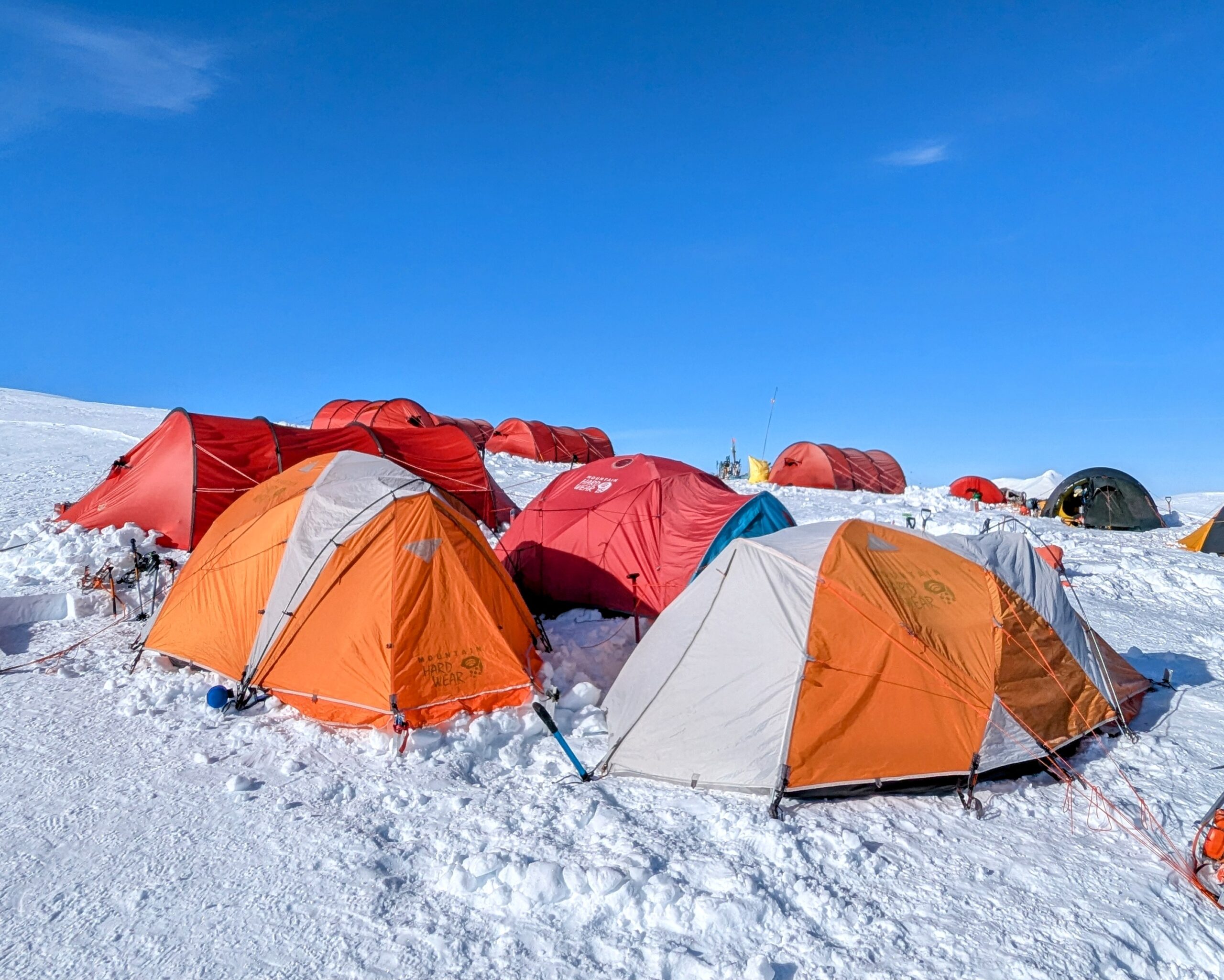
17 Camp is much less lavishly built up than all the others. It takes too much effort in the limited oxygen and everybody hopes to spend minimal time there anyway. E.g., at 14 Camp many latrine holes are dug deep & walled high enough to be out of sight even while standing—by the time we moved on ours was christened The Fortress of Solitude; at 17 Camp they’re very shallow pits and everybody just looks away and largely aren’t milling around outside tents anyway.
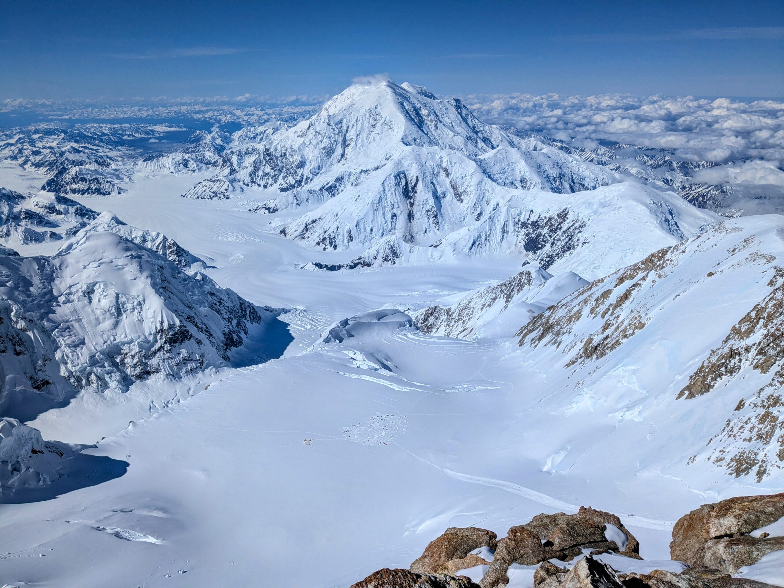
Summit Day
Day 14: Hike 13hr from 17 Camp to summit and back (9hr up, 4hr down; spent 45–60 minutes at the summit)
Two weeks in, having reached 17 Camp and with great weather on the second of the 3-day final push, the climax arrived: Summit day.
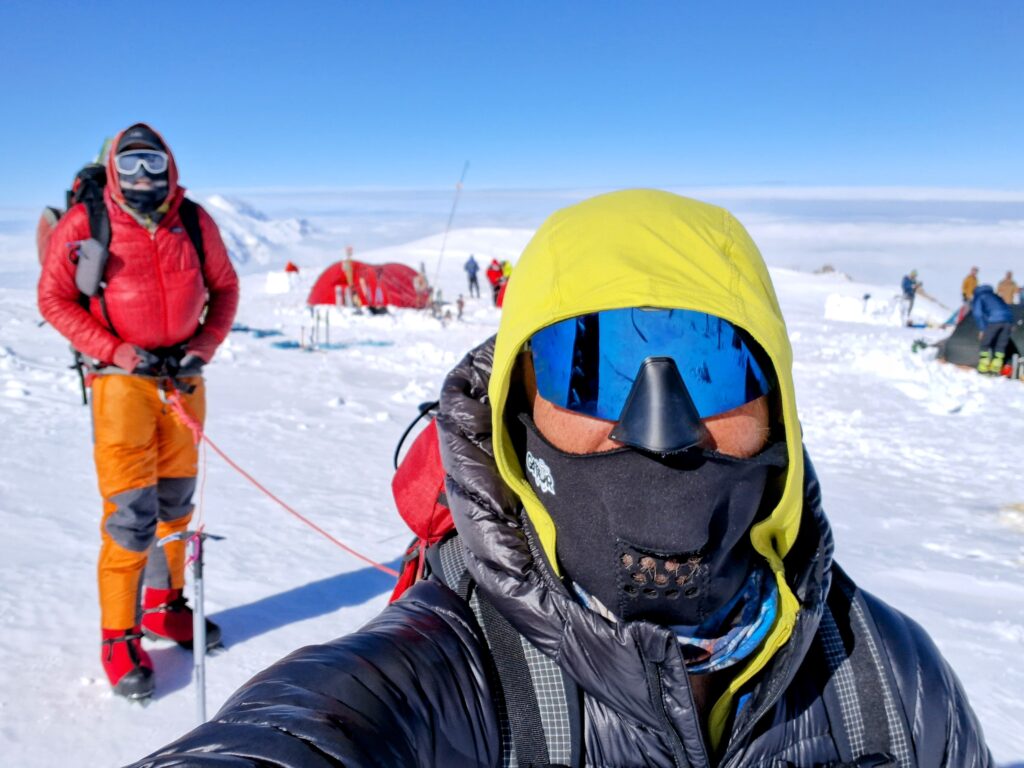
Summit Day: The Autobahn
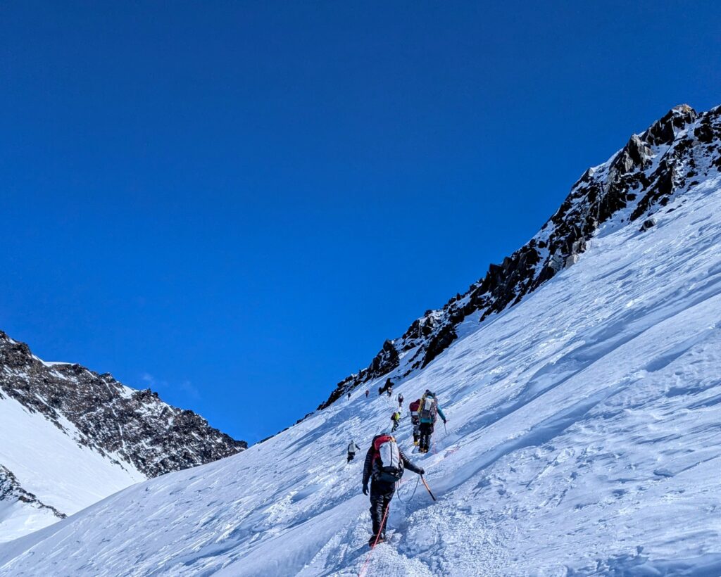
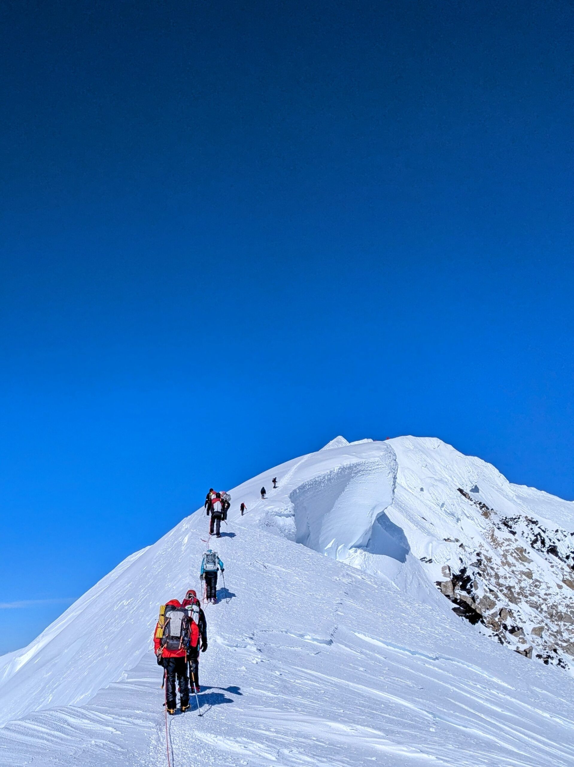
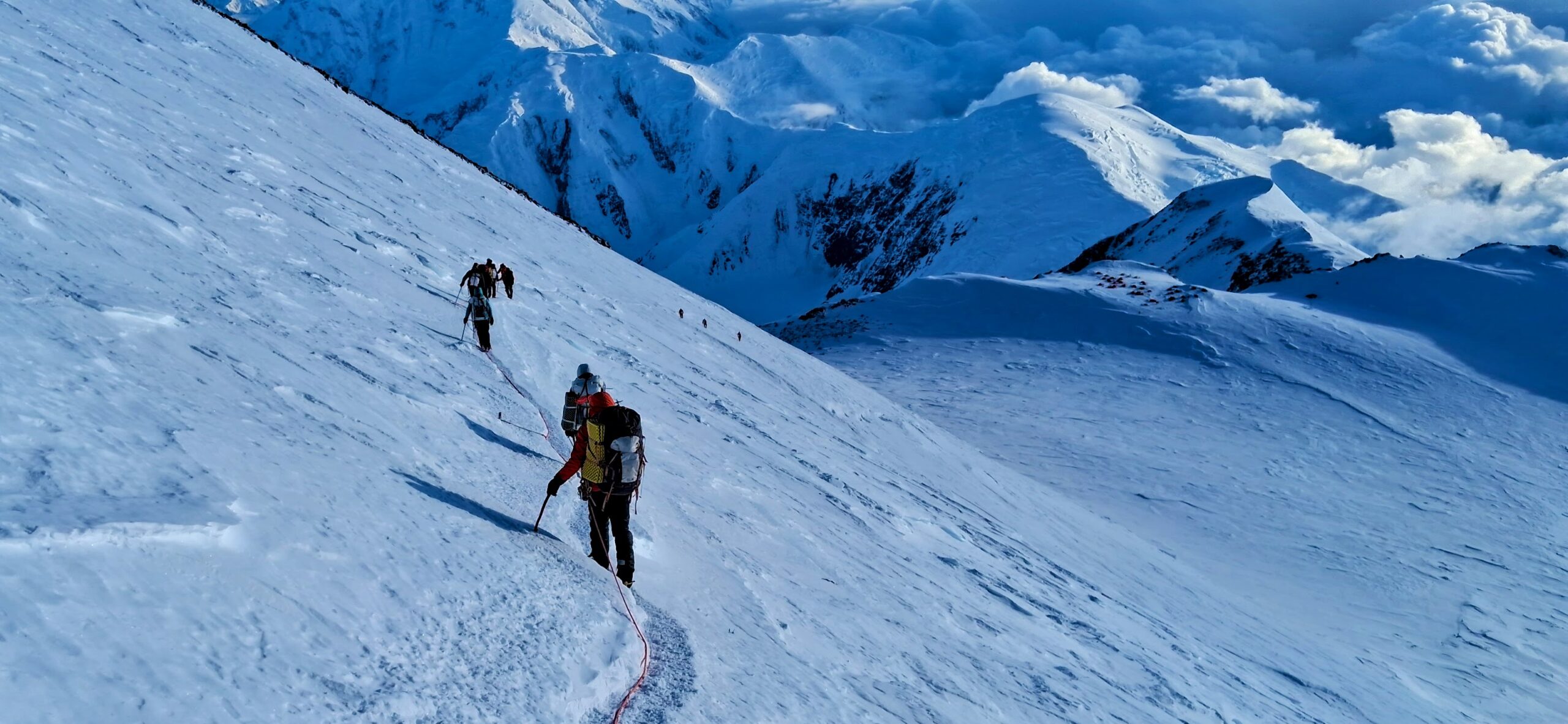
Quickly after leaving 17 Camp is the Autobahn, where most Denali fatalities occur. It’s not especially steep caveat very short sections here and there. Neither is it particularly technical in a typical sense. But while the traverse across the face is not especially steep, the fall line of the slope is fairly so. It’s also quite long; an unchecked slide could easily take you quite far downhill and all-too-likely into crevasses, rocks, and other hazards at speed. Ground conditions also range from very deep snow, presenting avalanche risks in addition to being slow, to rock hard ice and snow, making arresting a fall extremely difficult. It’s a high-consequence area.
Meanwhile, this section is also deceptively long, taking a couple hours or more; very cold as it’s shaded throughout the morning; and is an extended bottleneck frustrating groups from moving at their own pace. Critically, it also must be crossed not just first thing going up but again at the very end of the descent after 8, 10, 12 or more hours of serious effort. Most accidents happen at this point, with high camp in view but climbers physically and mentally exhausted. This is all of course also happening at high altitude, impairing coordination and decision making.
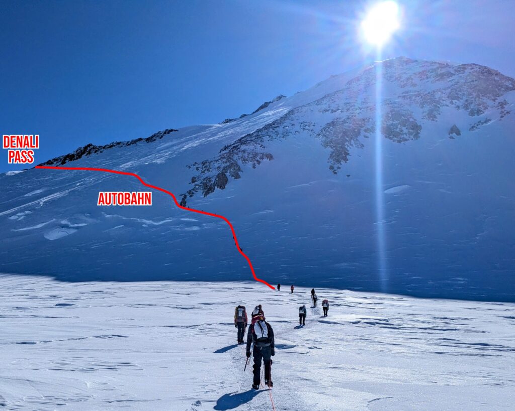
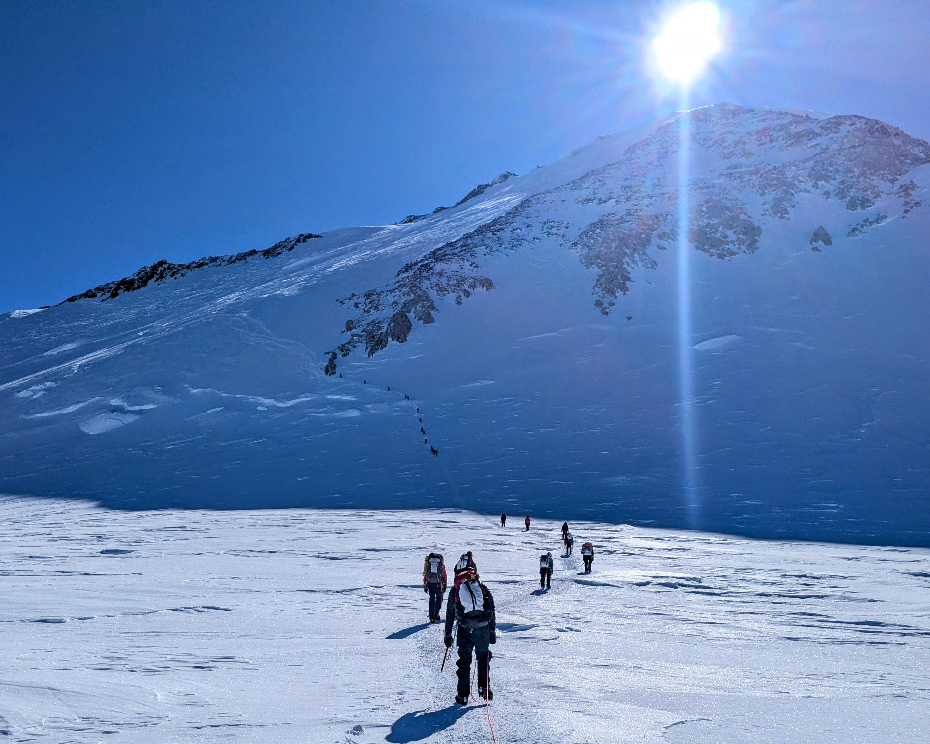
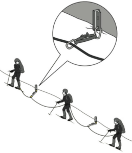
Nearly all teams mitigate the Autobahn’s risks through running belays. Anchors are emplaced periodically with carabiners through which the rope teams’ ropes are clipped and run through. As each member reaches an anchor they have to transfer the carabiner to the rope on the other side of their knot. This can be done without ever being unclipped though the maneuver is somewhat tricky in big gloves or mittens. In practice the team is usually clipped to multiple anchors simultaneously.
A single team could place their own protection as they go, but it’s a very time consuming process. On such as long stretch as the Autobahn it would also require an extraordinary amount of either equipment or time as the team either carried enough anchors for the route or had to rotate them. So the convention on the Autobahn is to just leave pickets in place for everybody to leverage. When we went through there were 52 anchors on the section.
The night before our summit attempt, all of the team leaders in 17 Camp had a pow-wow. Much of this was to discuss weather, conditions, and so on to maximize inputs, as well as loosely coordinate on logistics such as planned departure times. But it was also reported that there were no carabiners on those 52 anchors. So it was decided that everybody pitch in a handful of carabiners to a big pile by the path out of camp and the first group to head up would collect the pile and put carabiners on each picket as they went. Shockingly there did not seem to be a lot of enthusiasm among any party in the morning to get out first and take on this honor!
To me the Autobahn seemed to be in great shape for our traverse, with good traction on a narrow single-file path partially blocked by rocks in places. I overhead some teams saying it was narrower than usual but either way it’s not an easy section to pass on. It was also clear that a fall off that trail could be a real problem. Even well-traveled as it was and with good bite underfoot, there were long sections where it was apparent that axes and trekking poles were not leaving hardly any impression on the rock hard surface alongside.
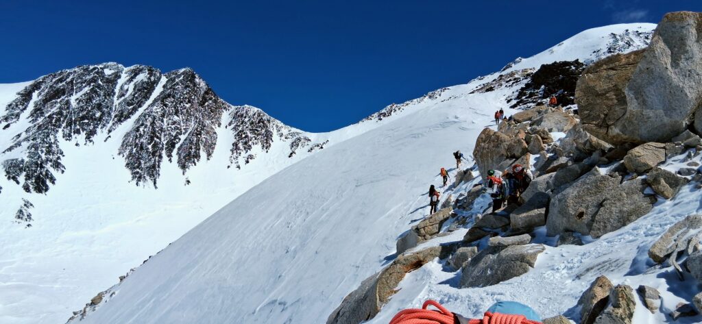
After the Autobahn the tension cuts quite a bit though many hours remain of rolling and occasional steep and/or carefully navigated terrain.
Summit Day: Denali South Peak
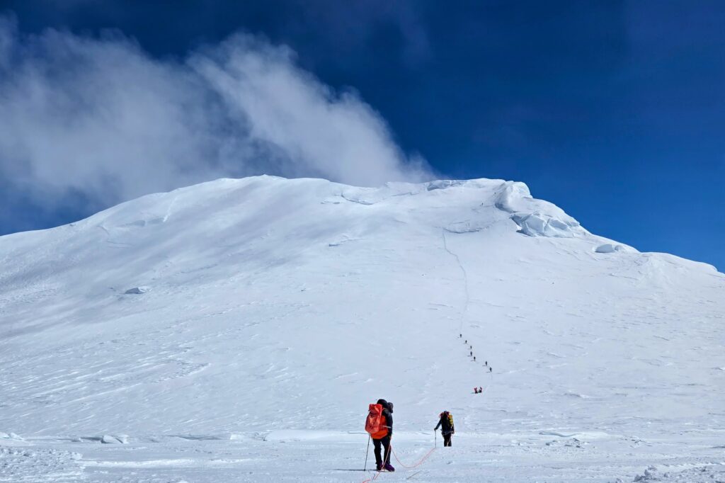
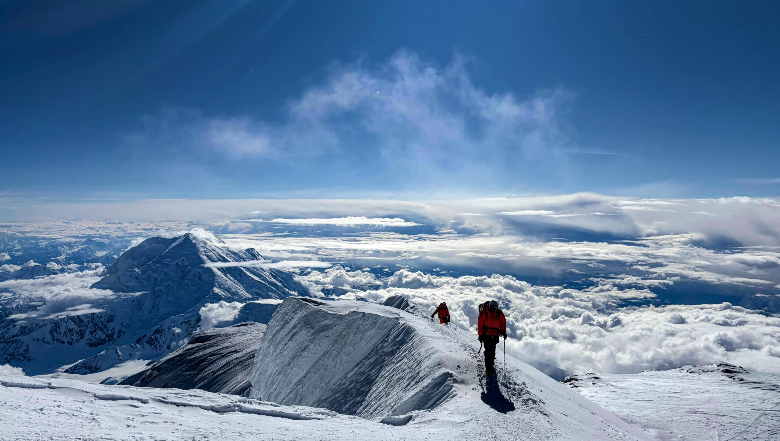
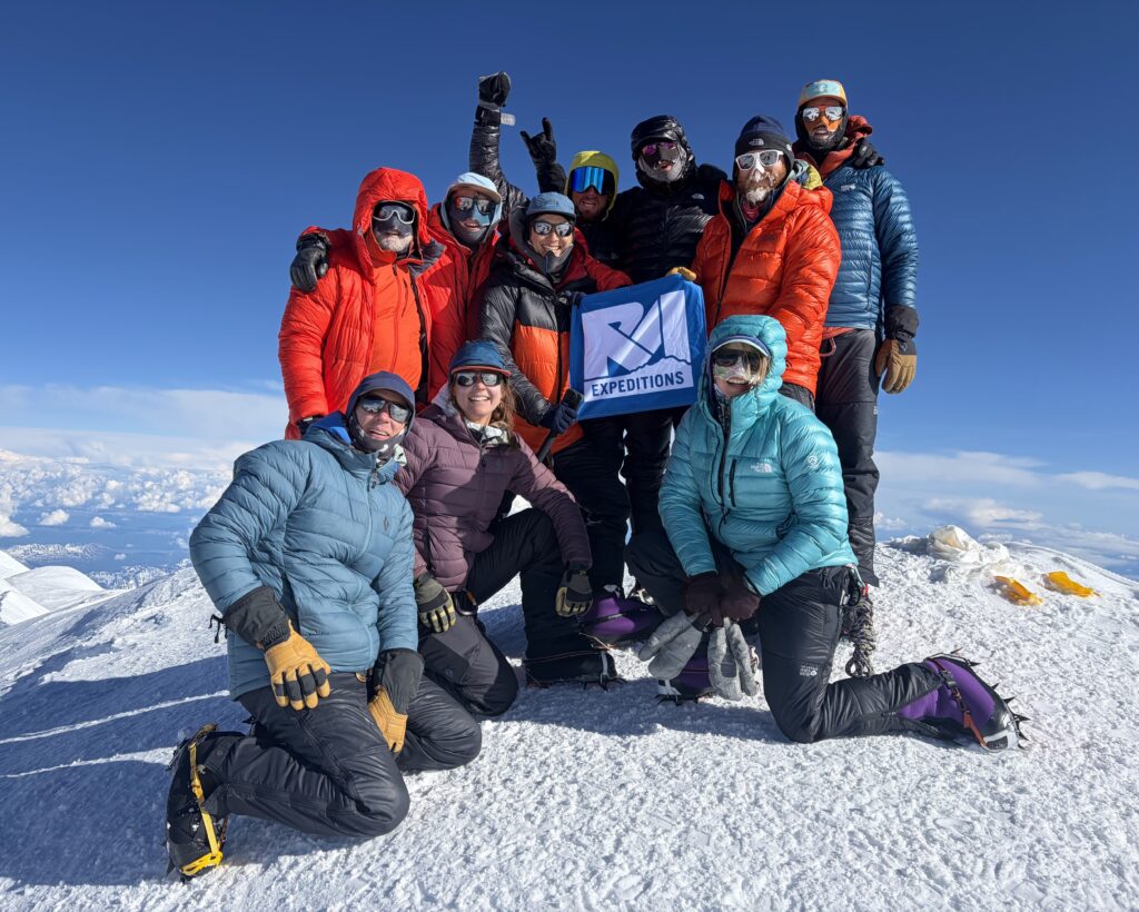
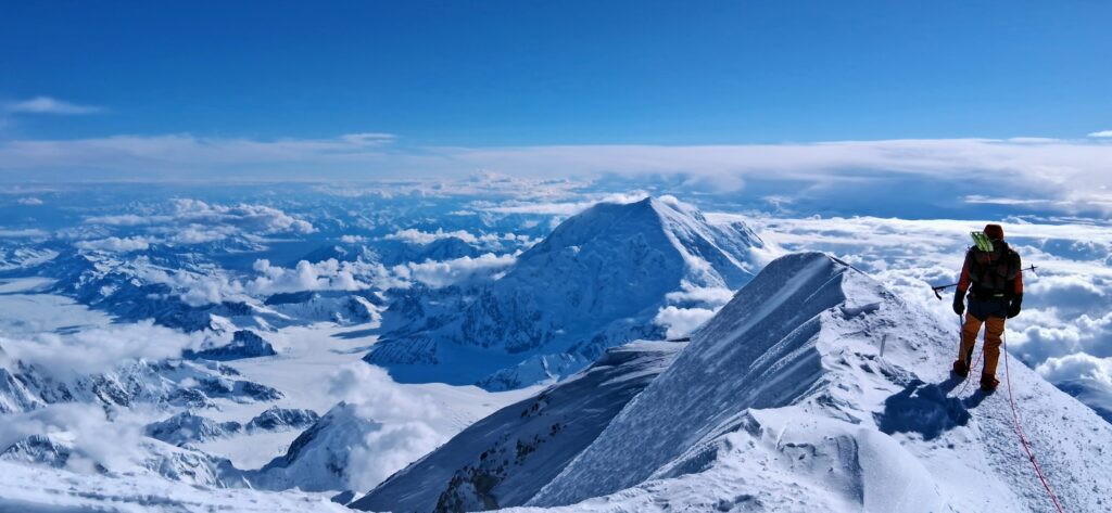
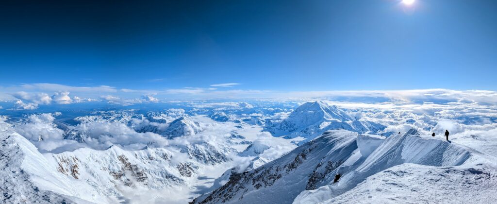
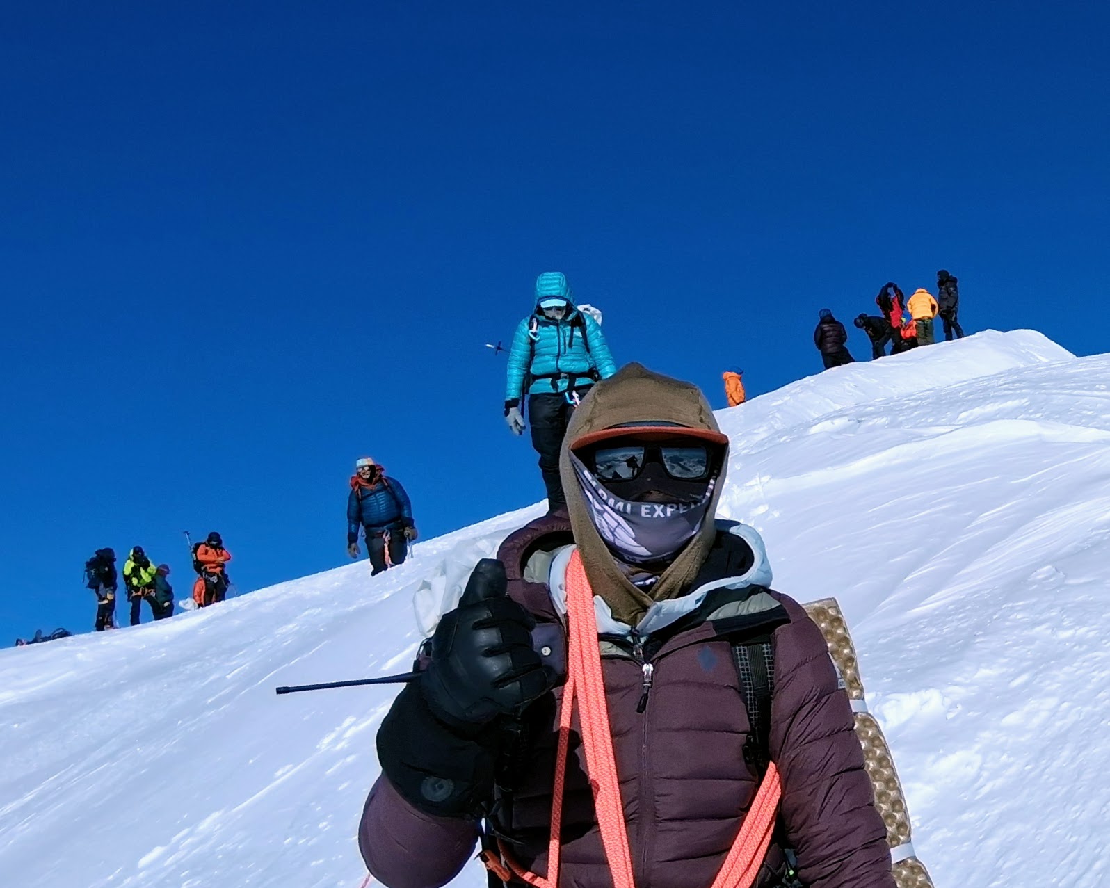
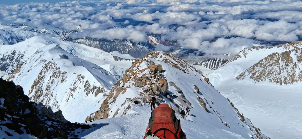
Eventually though comes the summit ridge and then the peak itself, a magnificent conclusion on a clear day.
Summit Day: Return to Camp
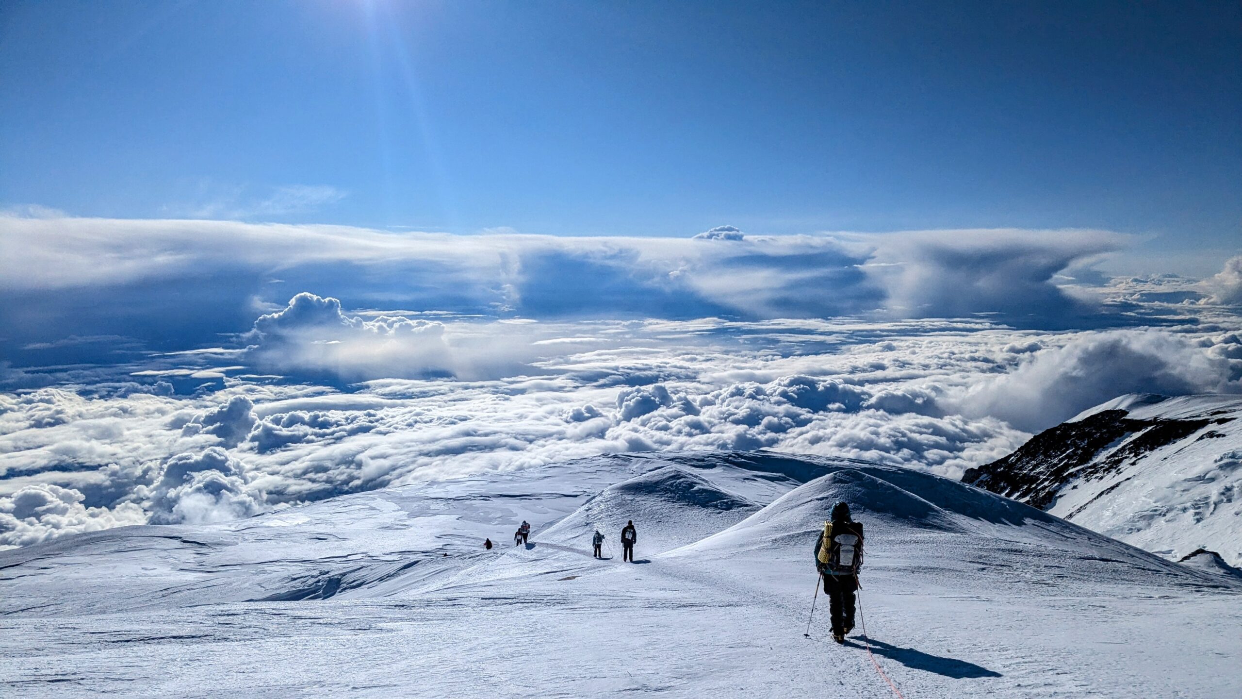
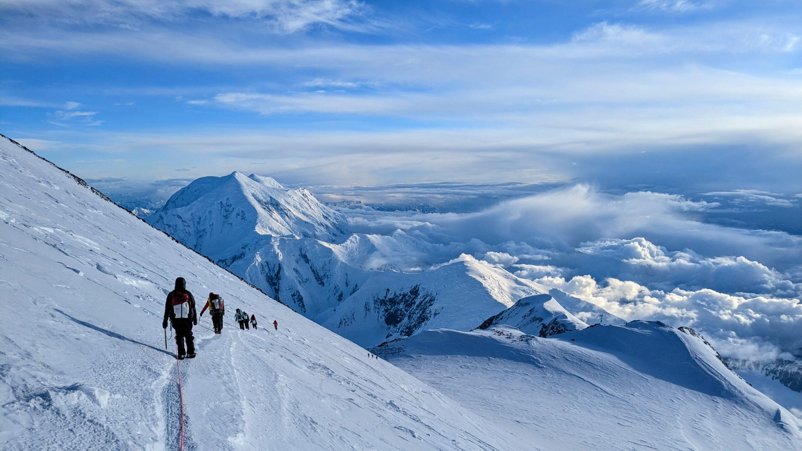
Still favored with beautiful weather, we spent a good chunk of time soaking in the achievement before tuning back in to serious business for the long, careful descent back to 17 Camp. All told we started out about 9:30am and got back around 11:30pm, 14 hours door-to-door. On most mountains that would be an exceptionally late start for the summit but in the Alaska summer where sunset isn’t an issue everyone waits for the sun to come from behind the peak and hit 17 Camp so it’s warmer while getting ready.
Hike Out
Day 15: Hike ~7hr from 17 Camp to Ski Hill Camp
Day 16: Hike 4hr from Ski Hill Camp to Base Camp and airstrip
The next morning was a slow start. Most of us had been up until near 2am by the time we settled down at camp and forced in some calories. It also took a while to switch from tired celebration to moving yet again.
But once we finally got rolling around noon we marched all the way down to Ski Hill Camp, picking up our cached gear and supplies at 14 and 11 Camps on the way. The stretch between those two was probably the heaviest our backpacks were loaded throughout the trip. We had to take down everything that’d been brought up to 14 Camp in two trips (cache+move) and most of our sleds we’d cached at 11 Camp because they’re very awkward on the terrain descending from 14 to 11.
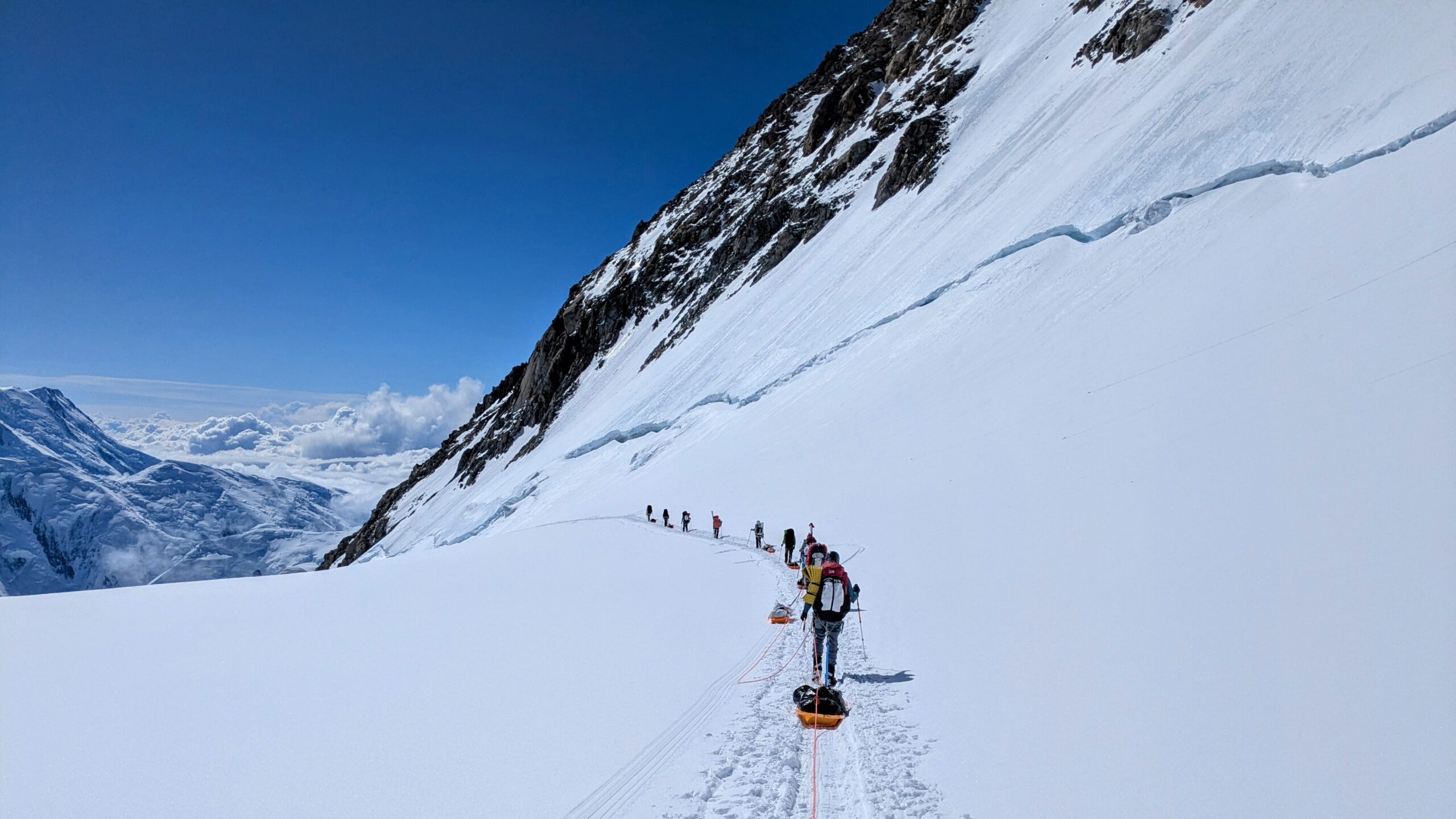
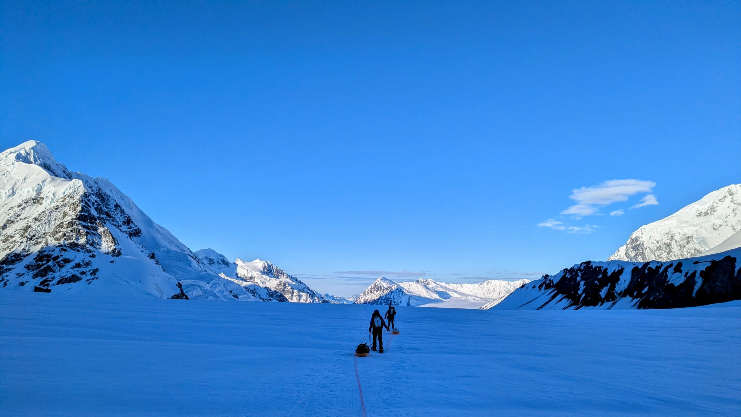
Although the return from 17 to Ski Hill Camp all told took about seven hours of hiking, numerous additional hours were spent digging up the caches, repacking, and, most time-intensively, melting snow to refill on water. Midnight had just about come around when we reached Ski Hill Camp. But hiking down the glacier all through the Alaskan summer twilight was some of the most sublime hiking I have ever done. Mountains on one side in deep blue shadow, mountains on the other still bright as day, an endless river of ice ahead, a perfect temperature, and nobody outside our party in sight for hours and hours.
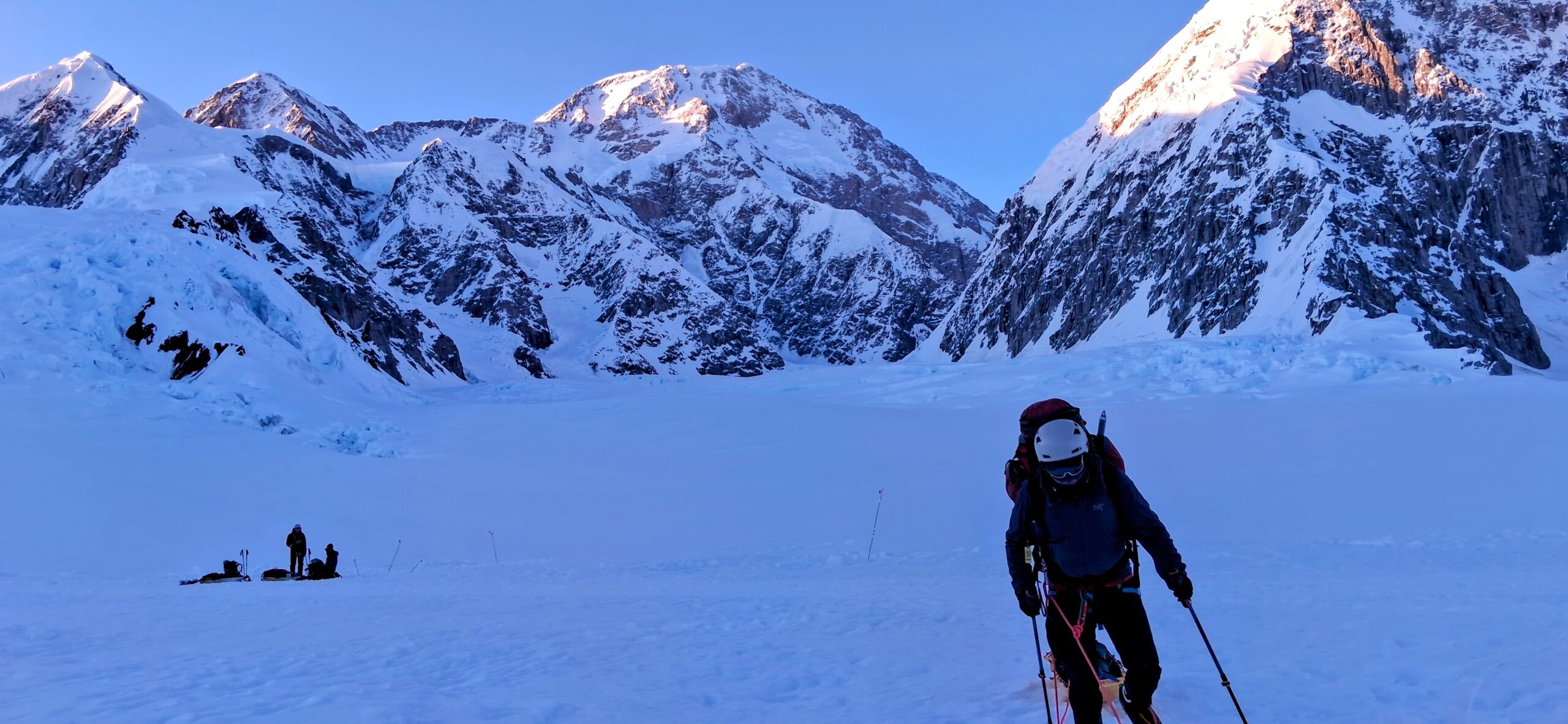
At Ski Hill Camp we threw up tents minimally, forced down some calories, and crashed for just two or three hours before getting on the move again. The impetus for all this sustained movement was to reach the airstrip on the early side of the day and get out ahead of incoming weather. We wound up flying out in two rounds and as the second group took off the pilot, airstrip manager, and K2 base were talking about shutting down flights shortly. From the air we could see the approaching line of storms not so far away. Later we got reports that they prevented most movement around the mountain for several days.
Success!
All told our expedition went about as well as it could go. No major sickness, injury, lost equipment, or other mishaps, and near minimal time spent waiting out weather. One very modest storm day, and a few nights & mornings around -5 to -10 Fahrenheit. A couple guys had serious blisters and chafing the first few days. Zach and I each came in to the trip with coughs that got worse over the first week before mostly fading away. Three of our people broke through into crevasses up to their thighs or hips, legs swinging in the void, but were able to pull themselves out with minimal fuss. We had one fall on the Autobahn for which that rope team dove to arrest positions but my impression is that was instinct rather than necessary. Hundreds of feet behind in our single file line I didn’t even know this had happened until days later when someone mentioned it at dinner.
Altitude
Above 16,000ft I unsurprisingly had some trouble with altitude-induced nausea. Having spent the vast majority of my days in the Mid-Atlantic, New England, and the Seattle-to-Whistler Northwest, I’ve done significant physical activity above 8,000ft only about eight times in my life and had problems of varying degree nearly every time. On this trip I took altitude medication on the commonly accepted proactive plan (diamox 62.5mg half-tabs nightly starting once at altitude). In the future I might experiment with waiting until I have issues and then a larger dose.
In any event, particularly on the last pitch of the Fixed Lines, Washburn’s Thumb, and Zebra Rocks, I was getting very high on the “going to throw up right now” meter. At first I thought effort was driving those spikes but other relatively steep sections like Pig Hill were fine. I think the difference is rhythm and form. Those three worst sections have a lot of irregularity due to switchbacks and running belays, incurring some speeding up & slowing down to manage rope tension along with arrhythmic movements bending over, reaching, etc..
Drew & Daniel were rightly concerned as even after the summit there would be many hours still to go back to camp. But while the nausea was unpleasant, I remained clear headed, strong, and my footwork solid. I was also confident it would start clearing up once we started descending, which was the case. In the interim I kept breathing and executing my altitude plan to stay hydrated and caloried: Lots of Gatorade and a progression of childhood favorites I can reliably stomach until near-death—soft caramel and hard butterscotch candies; Vienna Finger and Vanilla Wafer cookies; and Philadelphia’s own Tastykake lemon pies.
Feet
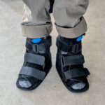
As locals know, after signing up for this trip last July I spent August, September, and October in walking casts. Serious foot problems I’d been wishing away for ~9 months couldn’t be ignored any longer. It had been tough in February descending the off-camber, jagged moraine on Cayambe. In July descending the heavily boot-pocked Corridor on Rainier was so bad that I spent hours in my tent afterward breathing deep until the agony subsided. The eventual diagnosis was fractured sesamoid bones at the base of both big toes, almost certainly incurred jogging/speed-hiking with an excessively weighted bag. Fortunately they were not necrotic but my feet aren’t the same. Extensive effort since has gone to adapting, from new boots—I wound up buying & returning no less than 12 pairs of mountaineering doubles—to retraining my gait on house steps, let alone steep slopes. My ski and mountaineering boots are so modified as to be unique works of art. Final tweaks came down to the wire, cementing in additional filler pads hours before flying to Anchorage. So having no foot problems this trip was not only a relief, but also gratifying that this major personal engineering project worked out.
Community
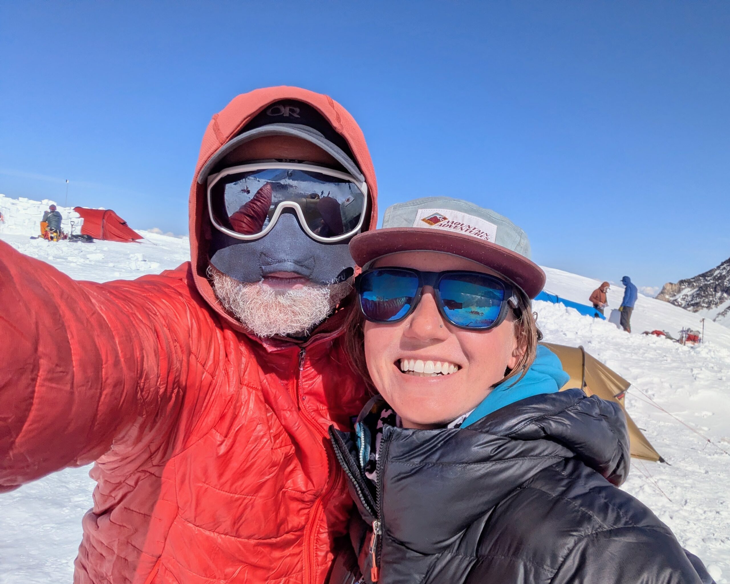
The guides of course know tons of people, but the rest of us also enjoyed a few encounters with friends and acquaintances over the trip. Although in the end she couldn’t guide with us on Denali as we’d hoped, Nicole from our Ecuador trip summited a few days before us and we were able to catch up at 14 Camp on her way back down. We also crossed paths briefly with Lacie, whom I’ve climbed with on both Rainier’s Emmons Glacier and DC routes. My buddy Claire who walked back down with me from ~13,000ft on Rainier when I got really sick with COVID and altitude was also on the mountain with another group pretty much in parallel with our itinerary. Paxton was also able to meet up with several climbers he knew from Oregon who had started a few days after us.
Humorously, before my trip a friend told me of a friend-of-a-friend of theirs going to Denali shortly earlier. Despite charging me with finding that person on the mountain, my friend didn’t know any details other than a name so I figured it was a hopeless mission. While we were at 14 Camp though the preceding RMI team stopped by on their return descent for water, swapping supplies, and catching up. I was doing something else when they arrived and Zach called over “Hey Joe, this guy’s from Philadelphia!” Walking over I shout out “Is that Pete?!” Sure enough it’s the friend-of-a-friend-of-a-friend who I’ve never met but happens to live a handful of miles away on the other side of the city.
Climber’s Memorial
Despite our team’s very smooth trip, I would be remiss not to note that it’s not all sunshine and smiles out there. The historical average summit success rate on Denali is about 50%. Last year was ~36%. Of the climbers that tried ahead of us in May only 6% reached the summit (and returned), overwhelmingly due to sustained poor weather. Many spent entire weeks in the lower camps waiting out storms only to run out of time, supplies, or will (understandably).
There are also many pitfalls. Early on we encountered another climber looking to join a team going down because his climbing partner had been airlifted from the upper mountain with high-altitude pulmonary edema (HAPE) and he didn’t want to cross the lower glacier alone. We also hosted for water & a quick nap a portion of the RMI team ahead of us on an expedited exit. One member had picked up a metal mug with bare hands and gotten frostbite forcing their departure, a second took that as a good cue to also leave, and a guide had to lead them down. Headed down from 14 Camp we were joined by both a member from the RMI team below us who’d had enough as well as a guide & client pair from a completely separate group that had to exit and the guide wanted to be around other teams just in case.
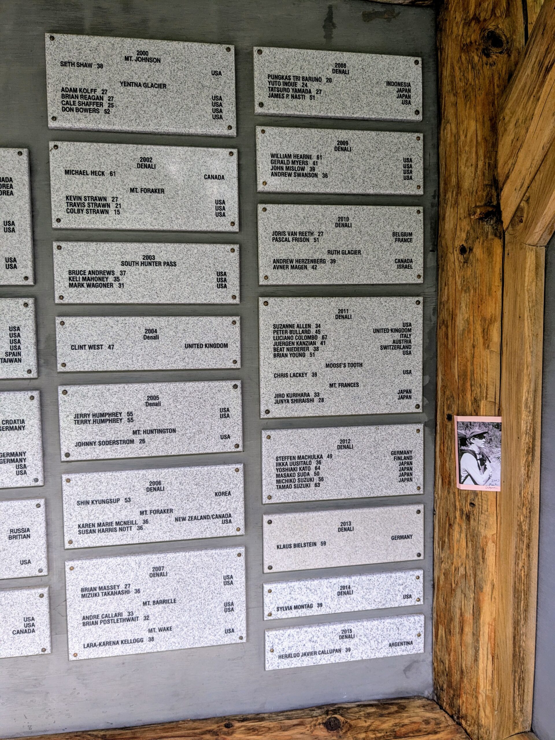
Most tragically, with the Denali climbing season essentially wound down as I write this, five people have died on the West Buttress this year. Inese Pučeka, Vija Olte, and Renārs Kunigs-Salaks passed away in late May after falling on the Autobahn near Denali Pass; their teammate Mārtiņš Bilzēns also fell but was rescued, albeit with catastrophic injuries. A few days later Logan McKenna succumbed to a medical event near the Zebra Rocks (a bit above Denali Pass) while descending from the summit. Finally, while we were at 11 Camp, National Park Service climbing ranger Robin Pendery had a fatal crevasse accident just outside 14 Camp. This was sobering news to take in and particularly a blow for Drew, who was friends with Robin.
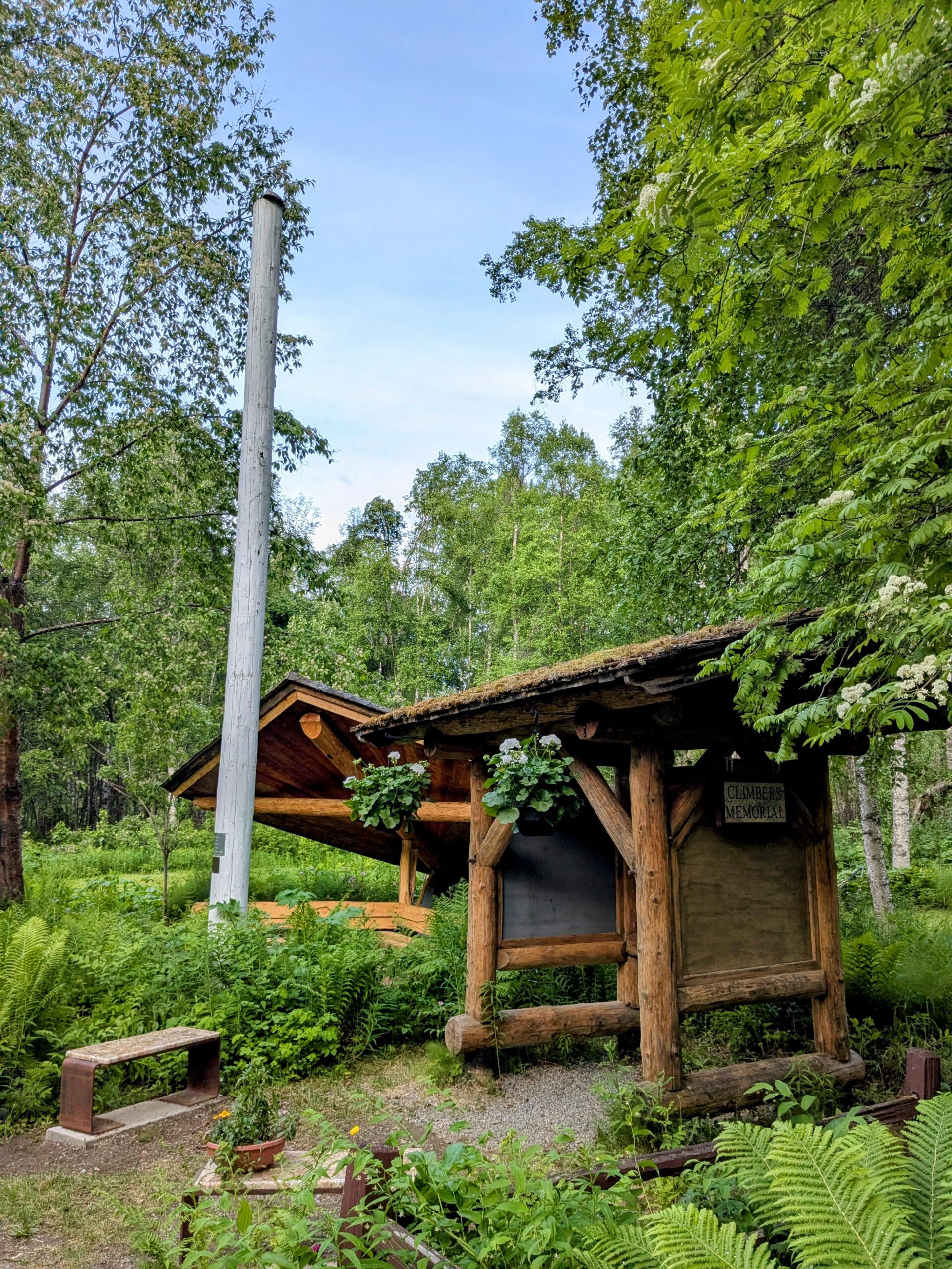
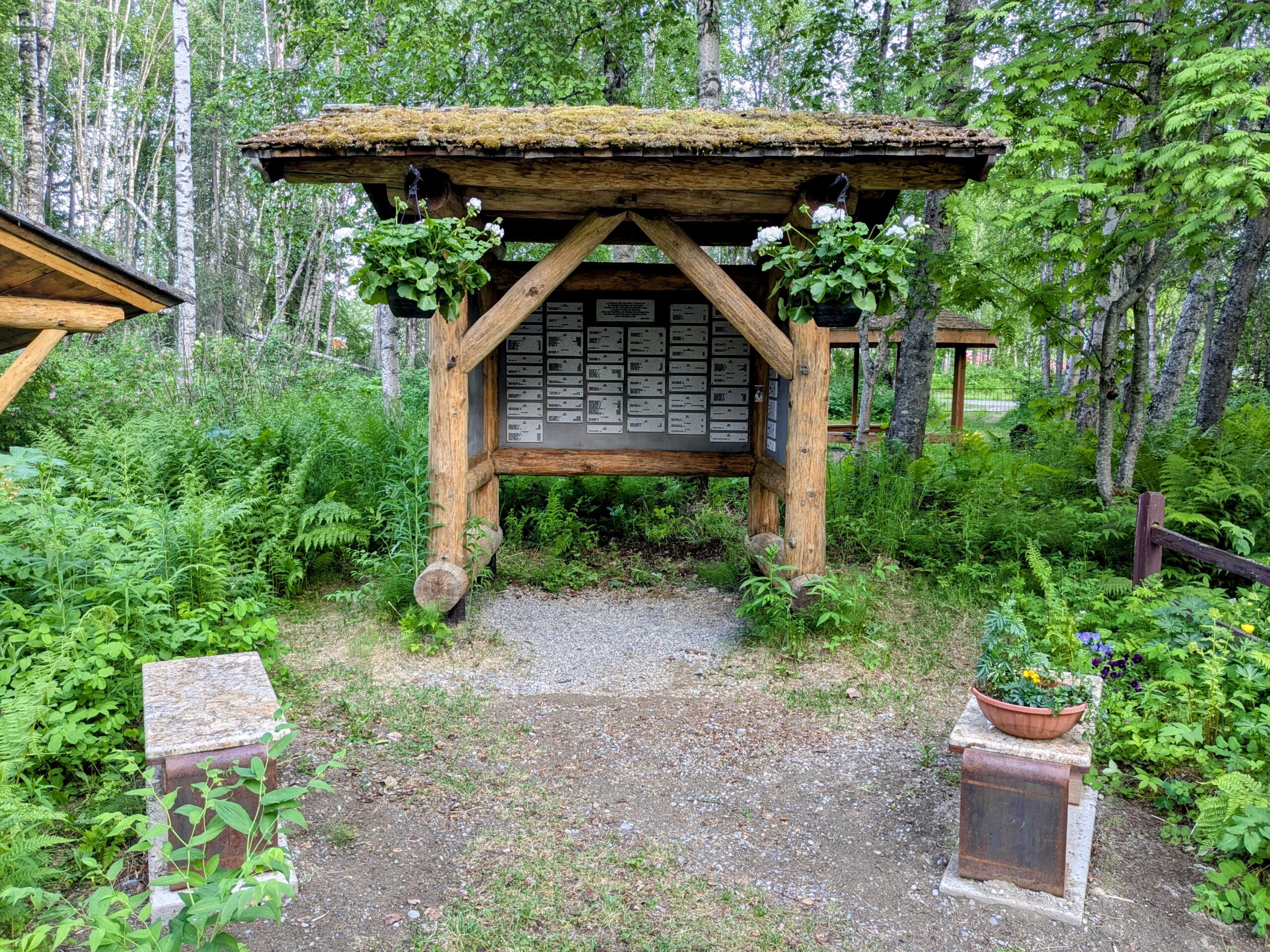
In the very small Talkeetna Cemetery is a Climbers’ Memorial where their names will be listed when the plaque is added for this year. It is a very peaceful place to spend some moments reflecting.
Next
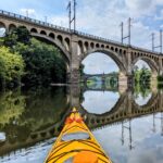
Safely home, people keep asking what’s next but it’s been great to have no answer. This is the first in a bit over two years that I don’t have any significant trips planned. All of the steady low grade tension about keeping up some kind of exercise regime with a deadline is gone. It’s an even greater relief to not have to be especially wary of getting hurt or sick. One of the big rewards since returning has been kayaking again, which I had not done in many many months out of concern for the risk of injuring a shoulder weakened by a previous injury.
I hope though that our team will be able to get together for further adventures sometime. Zach and Tomoki have already linked up for a short trip in Utah. This whole group was strong and competent across the board and worked really well cohesively from day one. There’s a good amount of self-selection involved, and the deck stacked by the Ecuador sub-group and the guides respectively being prior friend groups, but it’s still something special to meet up with a bunch of strangers at some remote location, execute a very stressful activity in very close contact for a prolonged period, and have the vibe and the trip go not just well but excellently. It would be great to carry that spirit to somewhere else in the future. Onward and upward!
PS: Alice was indeed impressed. For about two weeks…