Went back to Mt Rainier this summer for another 3-night, 4-day trip up the Emmons Glacier, in addition to two days of mountain travel refreshers and practice. This time we were not in the middle of a brutal heat dome and I did not have COVID, so the whole affair went vastly more pleasantly…
There were 6 climbers and 4 guides on the trip, the latter again from RMI Expeditions. Everyone made it to the summit in good form on a clear day.
During one of the practice days we were joined by a small herd of mountain goats on the lower slopes. I had not seen these before on Rainier and they were pretty cool, especially as these were fairly active for some reason, scampering around and playing before settling down to rest and chillax in the warmer afternoon. Fortunately they left us alone. From what I gather their primary interest isn’t actually your snacks as you might expect but rather the dried sweat salt on your backpack and clothes, so they are known to lick & chew up your gear if they get a chance.
On the last day of the trip we also saw a beautiful golden blond bear in a meadow near the trailhead but I couldn’t get a good picture.

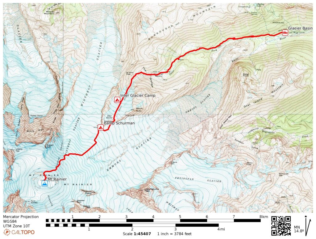
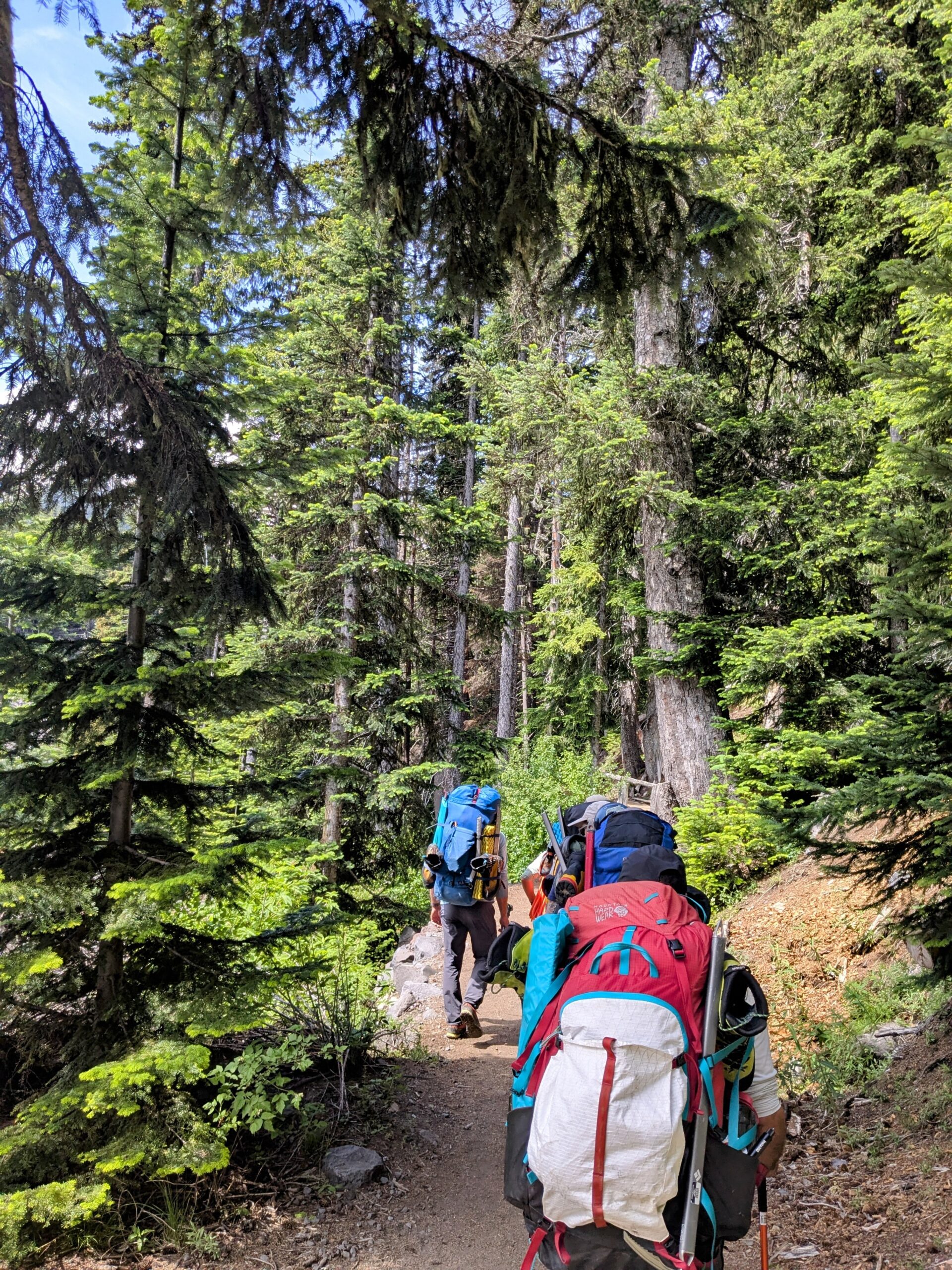
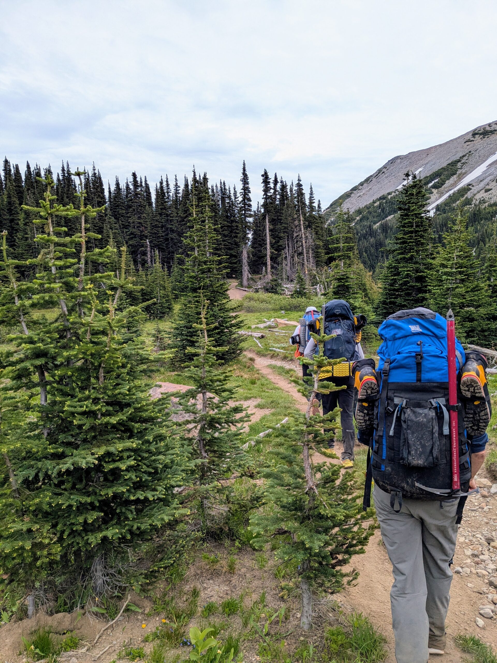
This route starts up the very pleasant wooded Glacier Basin trail and then to camp at the top of the Inter Glacier, a 5 hour ~3400ft ascent.
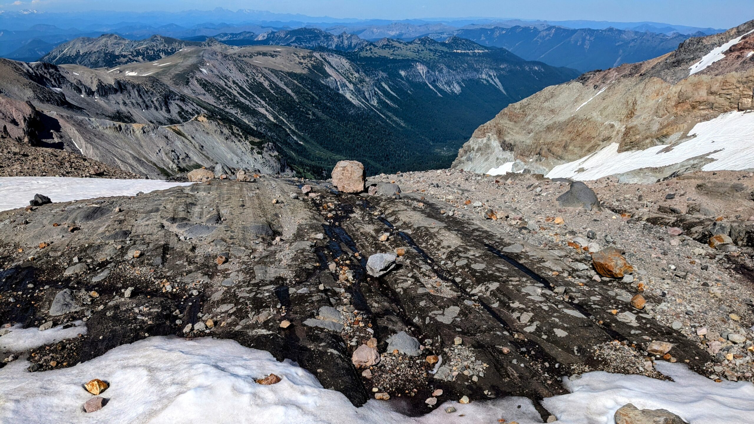
The deep grooves in this exposed rock are from the glacier grinding over it in the distant past.
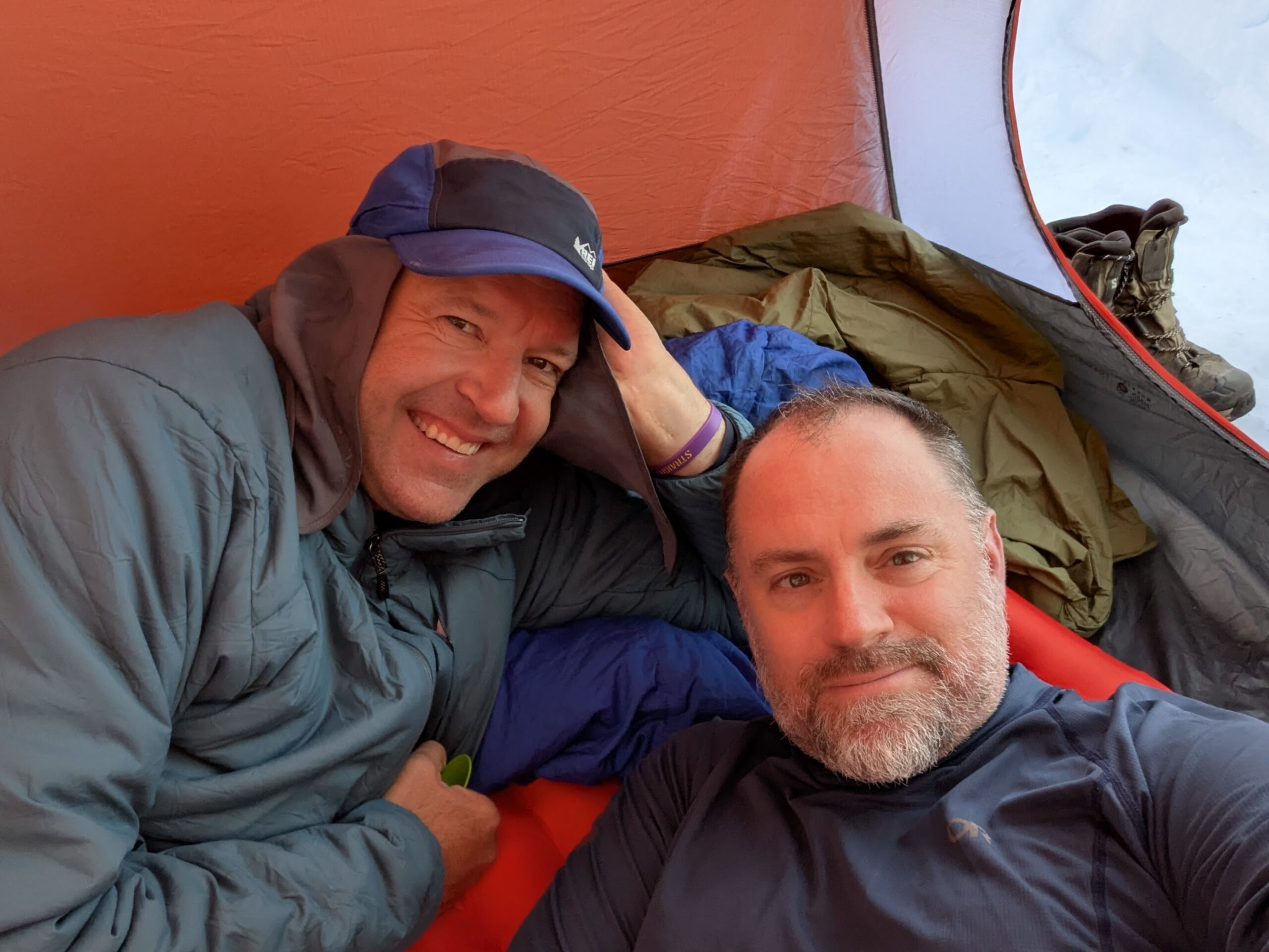
This is my tent- and rope-mate for the weekend, Paul. We actually met last year on this same trip and just coincidentally signed up for the same dates again this year. Paul’s from Trenton (NJ), basically just across the Delaware from Philadelphia. Together we were the old guys of the group.
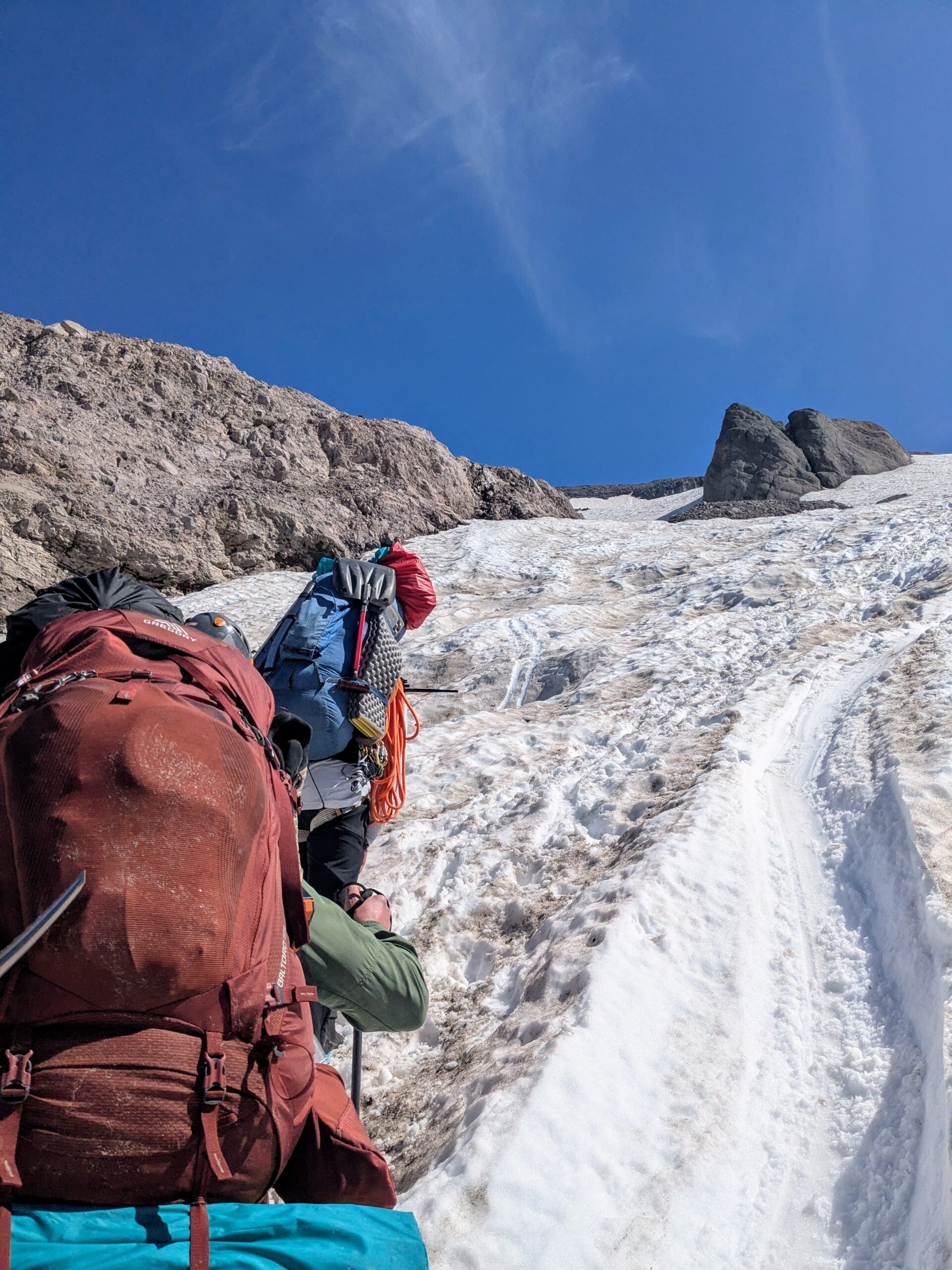
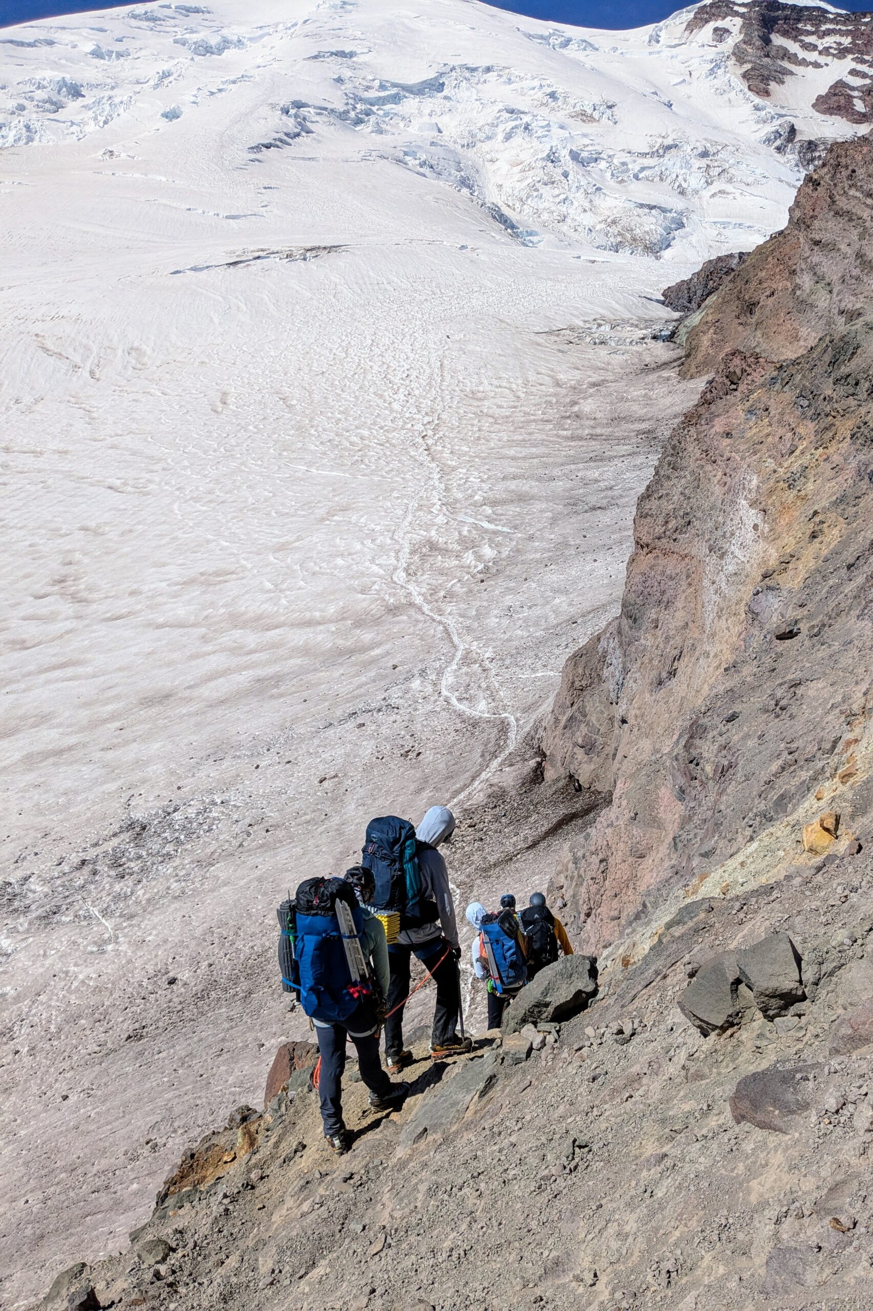
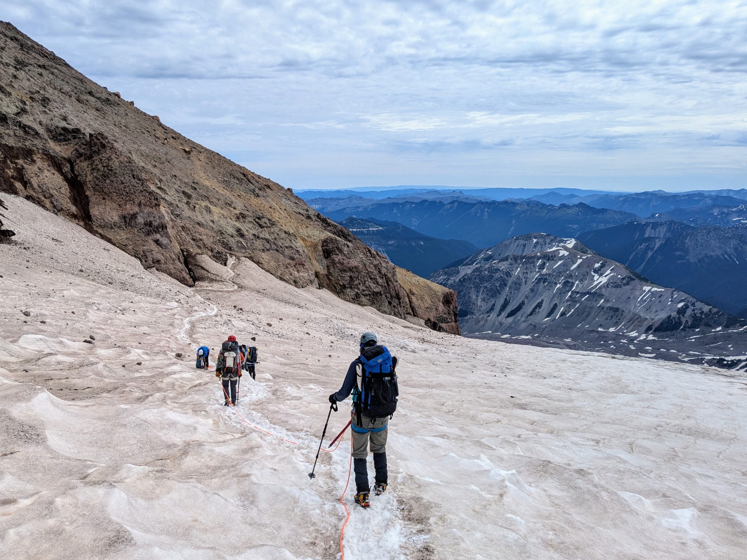
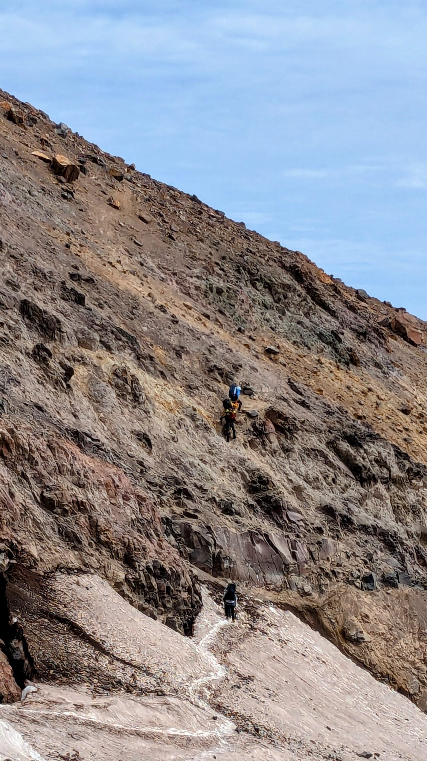
Lunch break at Camp Curtis on the rock ridge between the Inter and Emmons Glaciers, down climb onto the Emmons Glacier, and hike partway up the latter to Camp Schurman. This is a 2–3 hour hike that only gains about 1600ft. The short down climb though is for many people the most nerve racking section of the whole trip. The footing is all loose dirt and crumbled rock, many potential handholds are unreliable, and if you did fall you’d get hurt from the fall itself then careen away down the glacier and quite possibly into a crevasse or the moats that form at rock/ice boundaries.
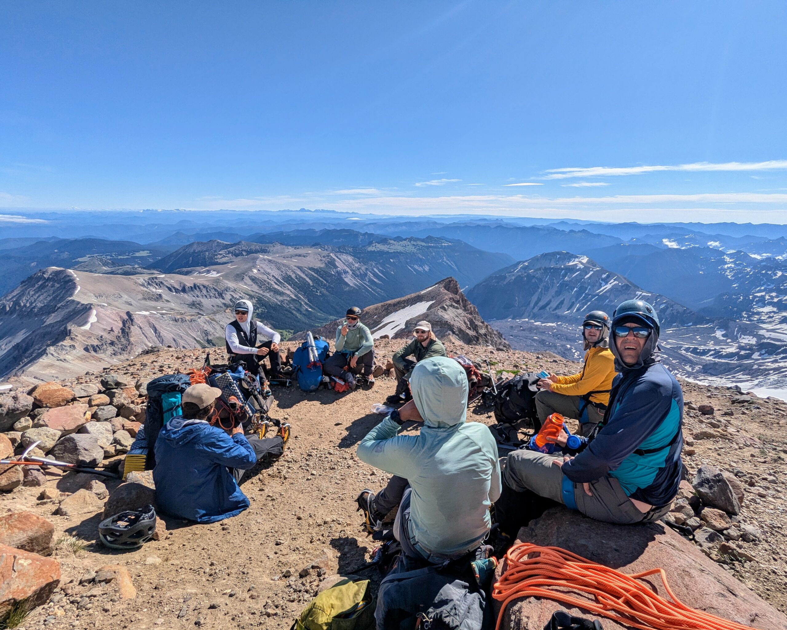

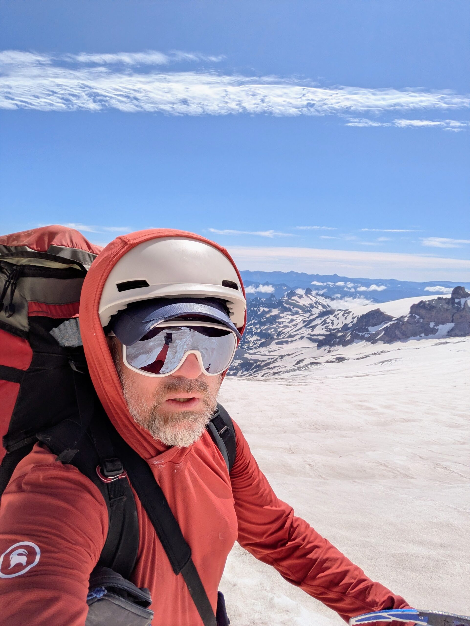
Camp Schurman, home for two nights bracketing the summit hike. It’s basically the confluence of the Emmons and Winthrop Glaciers. There’s a ranger station with basic outhouses on the tip of the rock ridge between them, part of Steamboat Prow, overlooking the camp area.
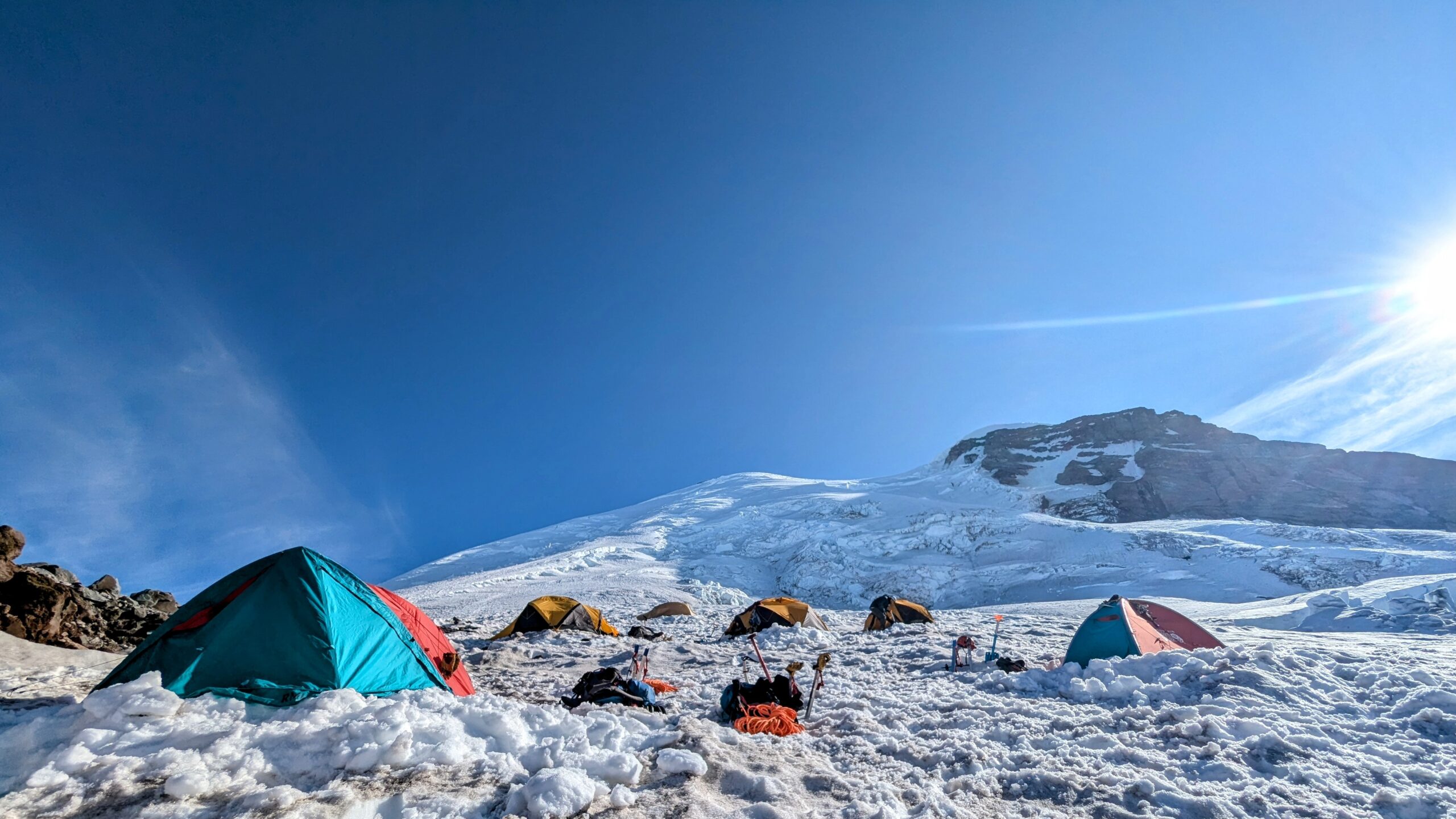
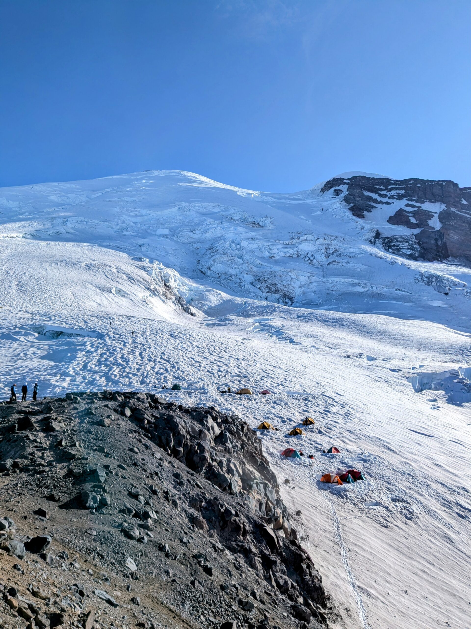
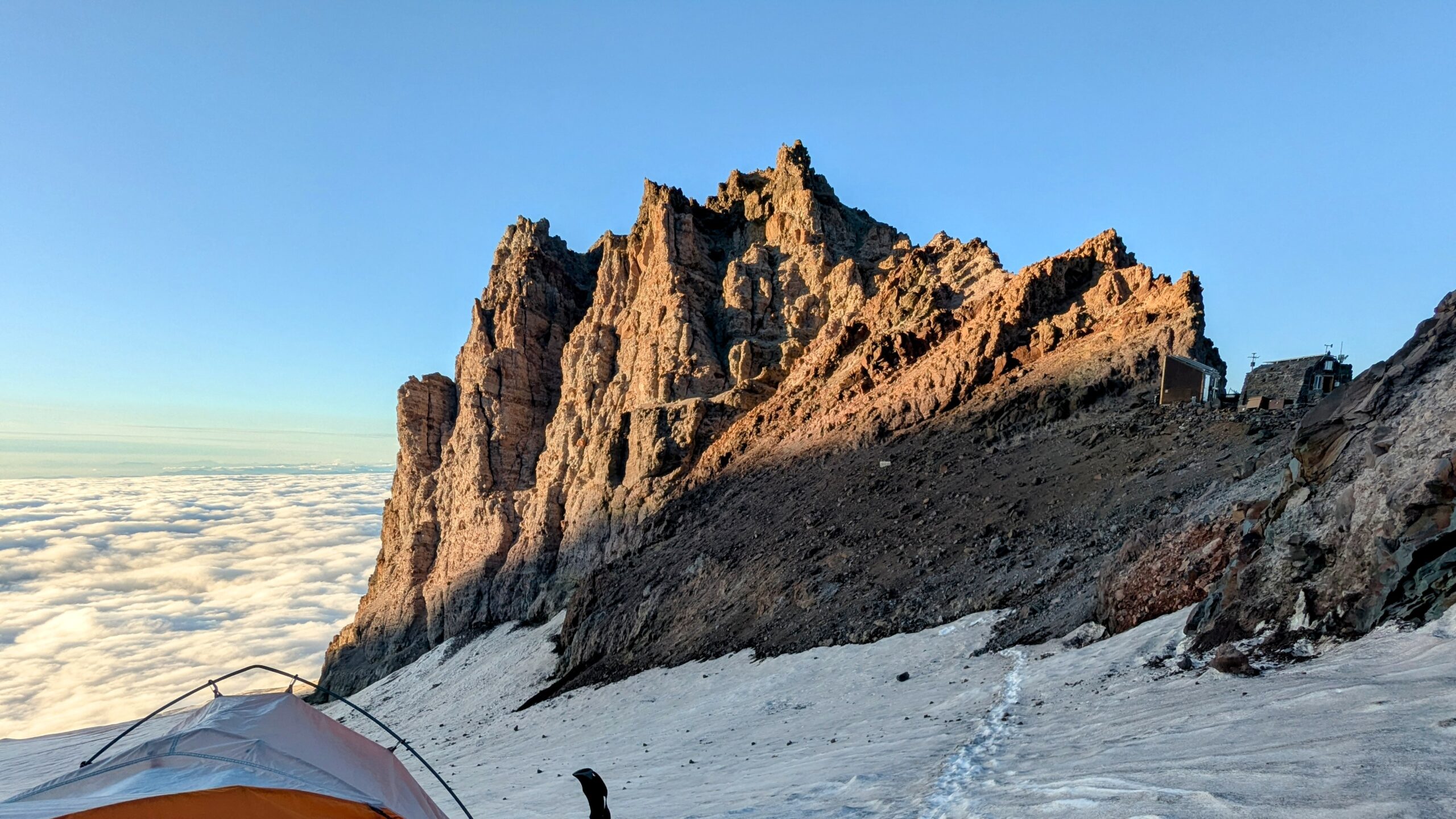
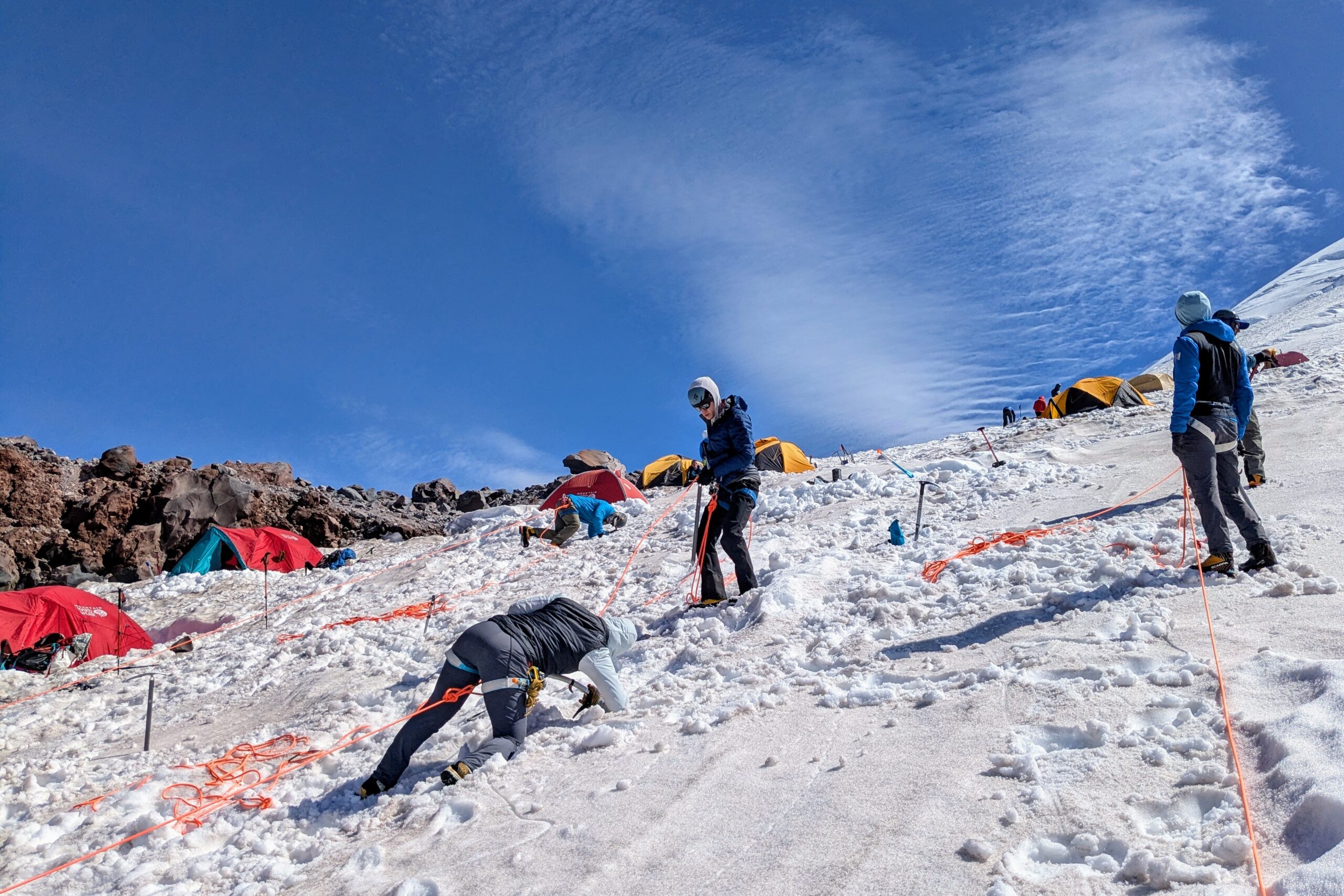
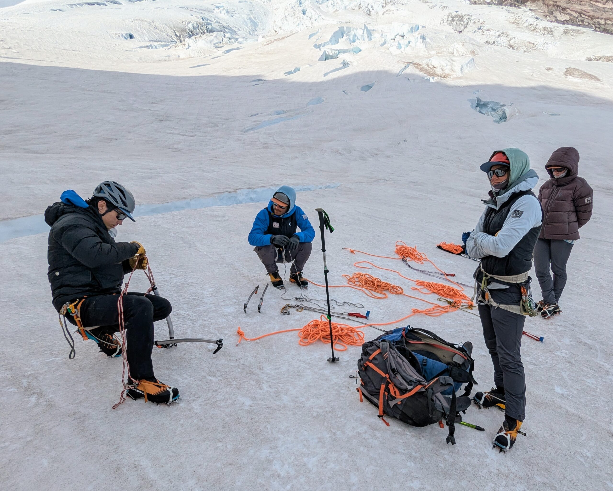
With a short morning transfer from camp on the Inter Glacier to Camp Schurman, we spent time that afternoon reviewing and practicing crevasse rescue—stopping a fall, anchoring the victim, and building a pulley system to haul them back up.
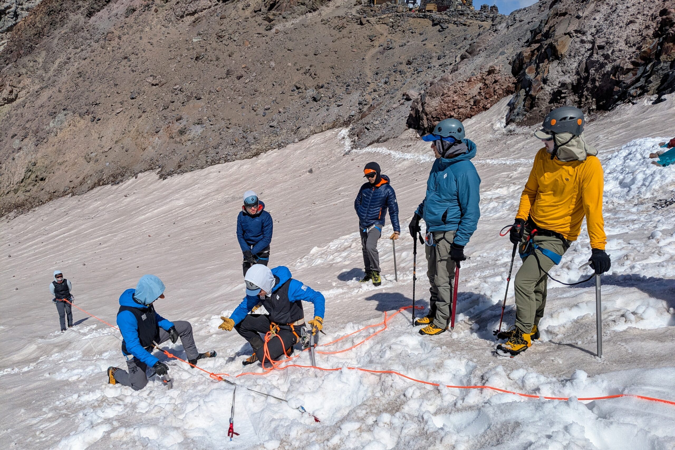
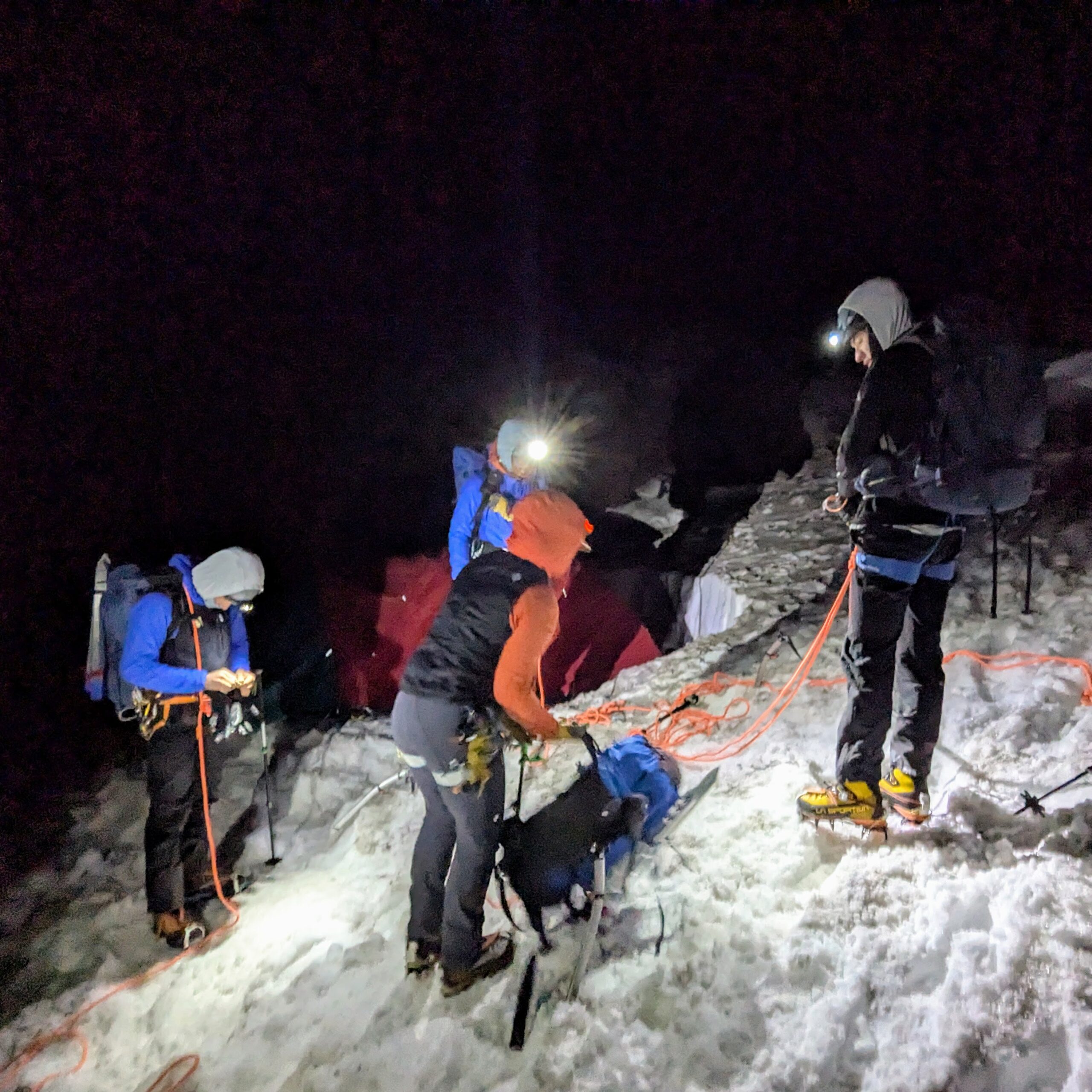
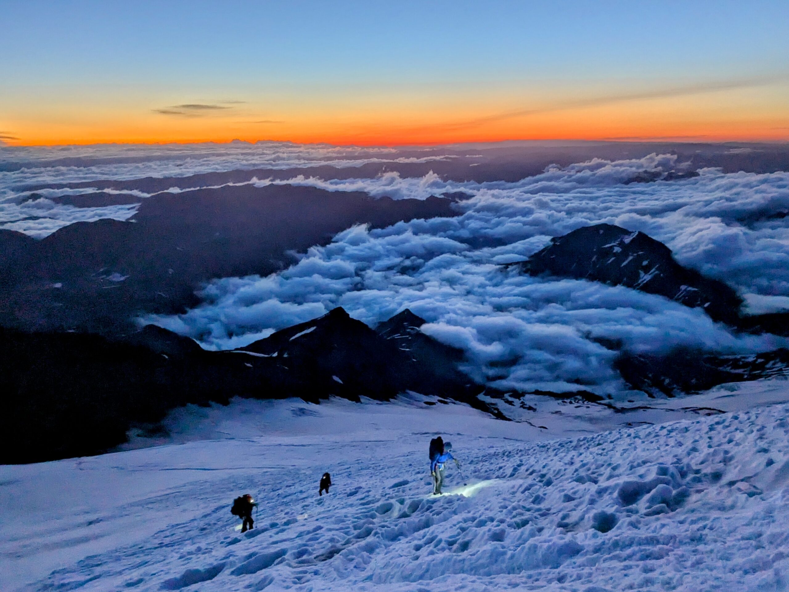
Granted reasonable temperatures and a good weather forecast, we set out for the summit at a decadently late 3:30am. This meant most of the hike was done with daylight, quite a change from last year’s 11pm departure.
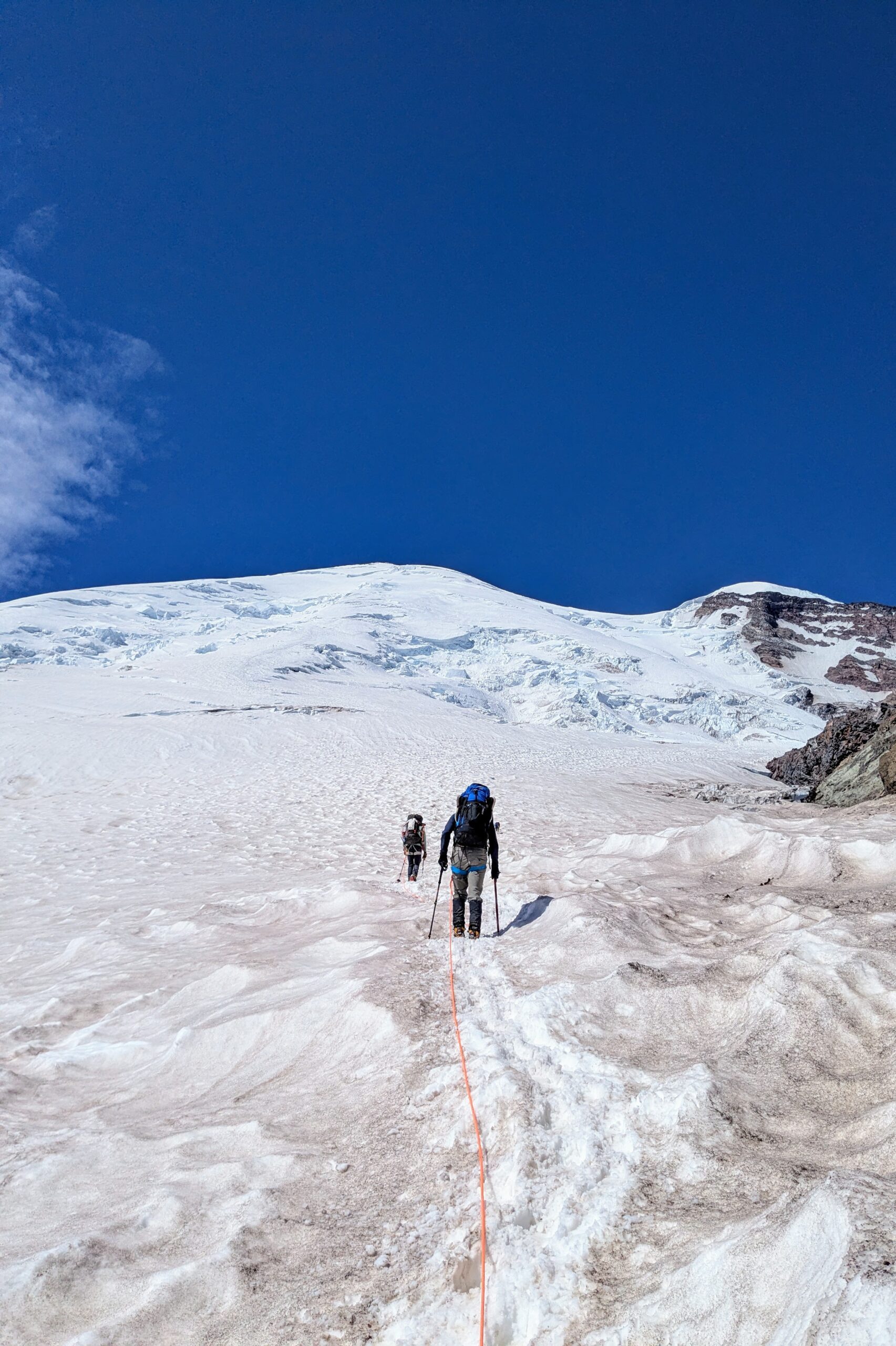
The first couple hours, known as “The Corridor,” involve a lot of footwork because it’s steep, the snow is set rock hard by the overnight cold, and it’s thoroughly and deeply pockmarked by bootprints and melt holes. So you’re closely watching your foot placements; constantly switching between duckfoot, inverse duckfoot, and crossover steps; and rolling your ankles to keep your crampons flat. It’s not real fun.
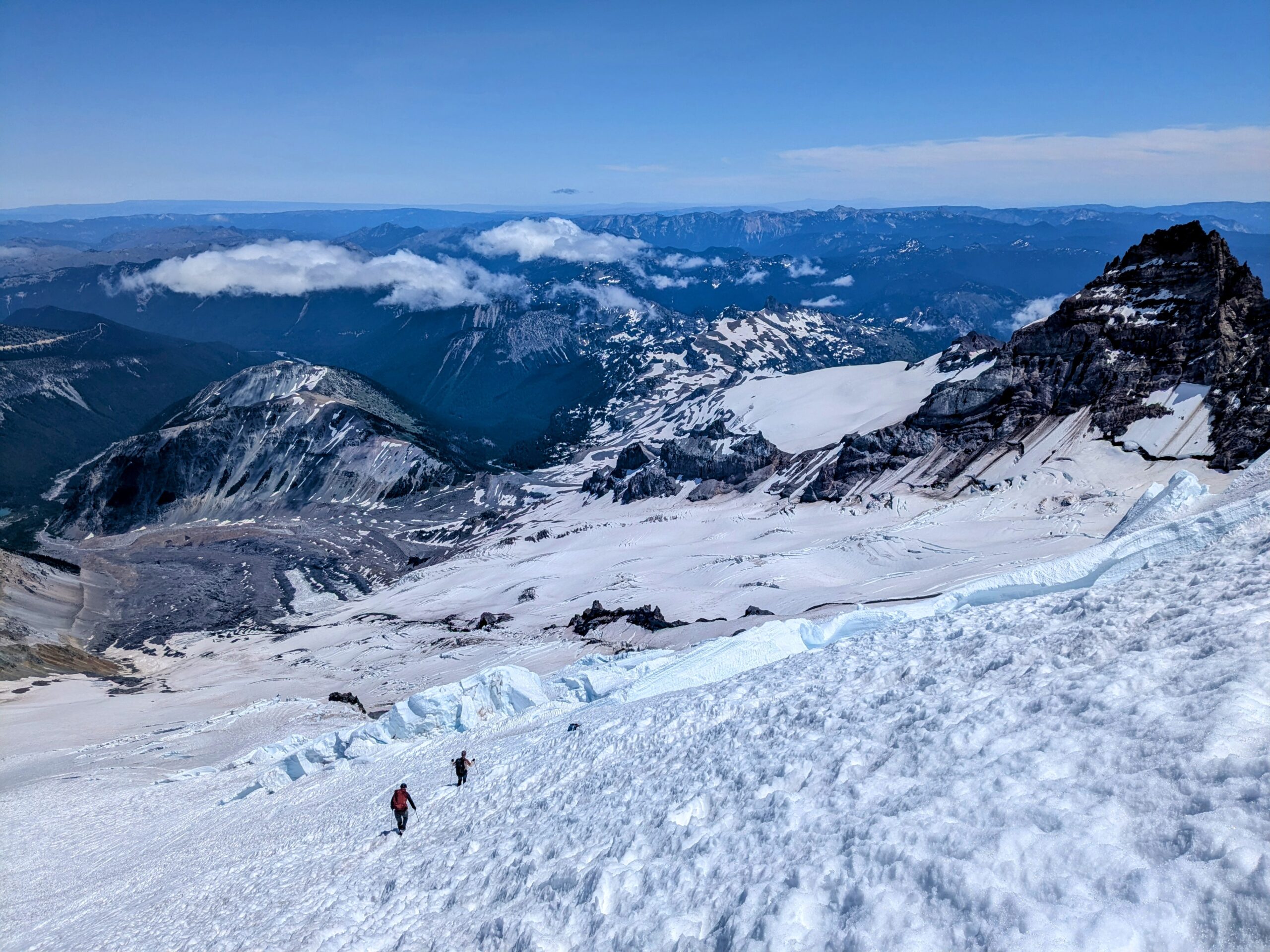
After that the trail stabilizes and is more of just a long steep walk at altitude, albeit winding between crevasse and serac hazards.
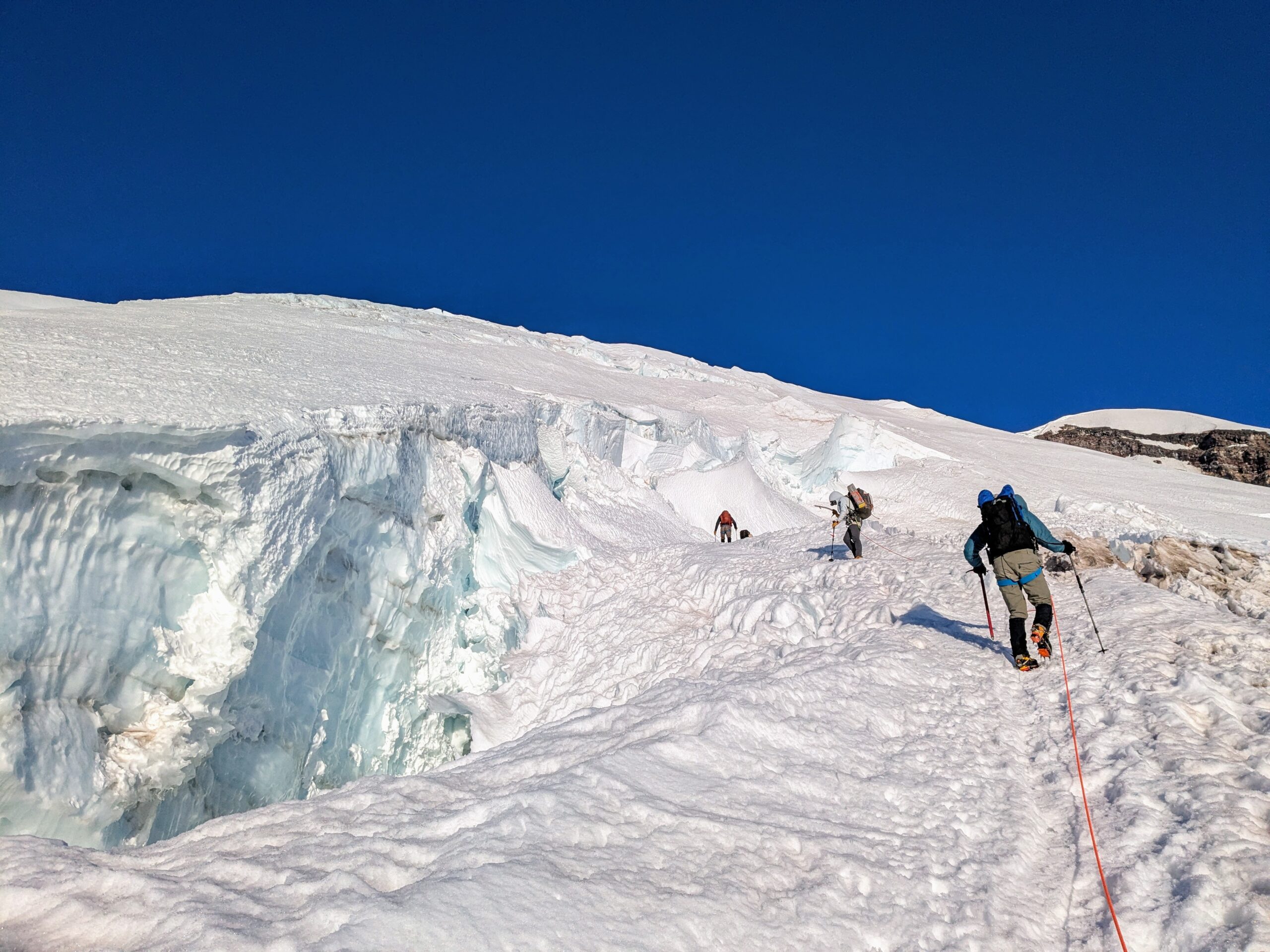
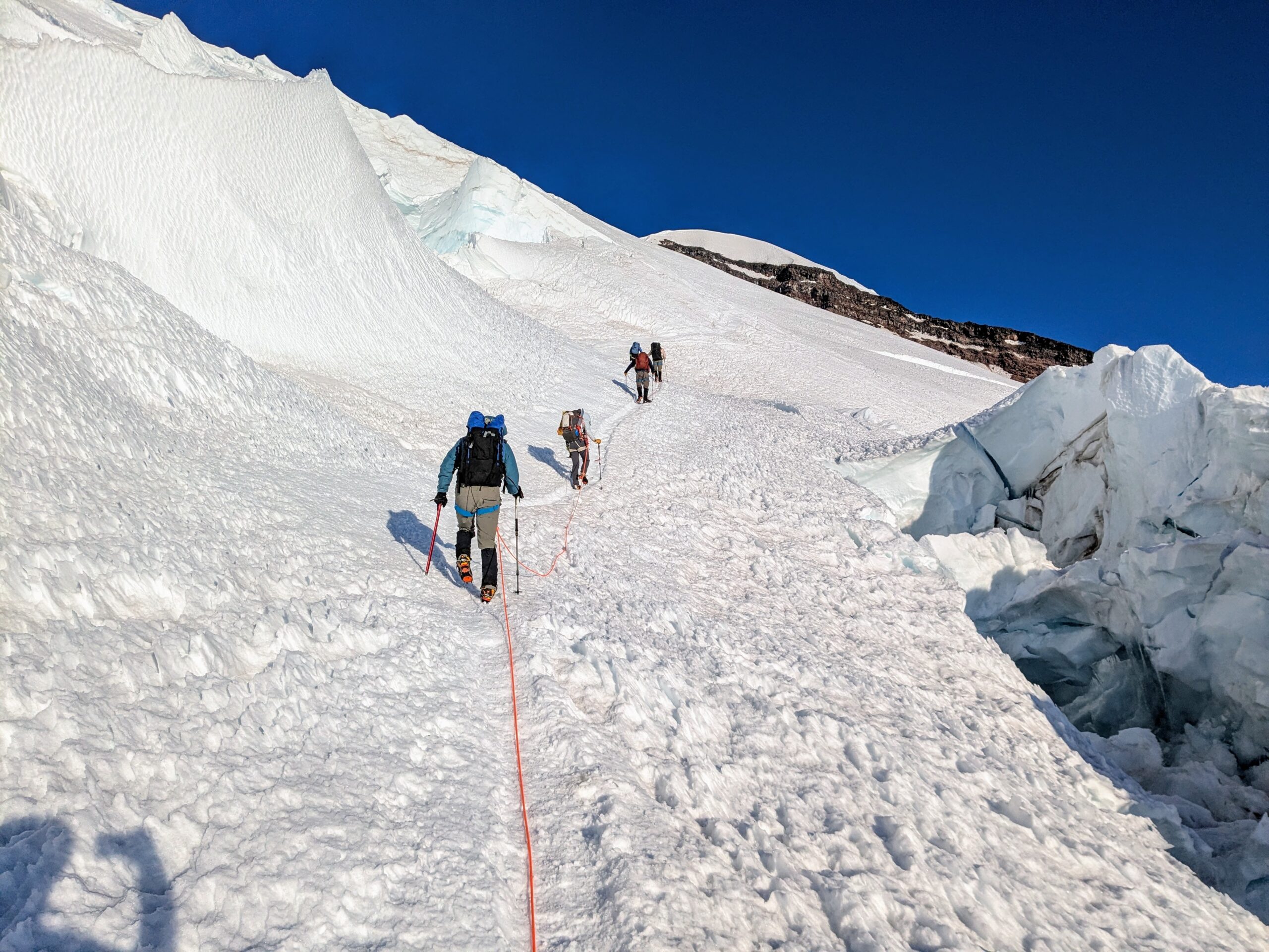
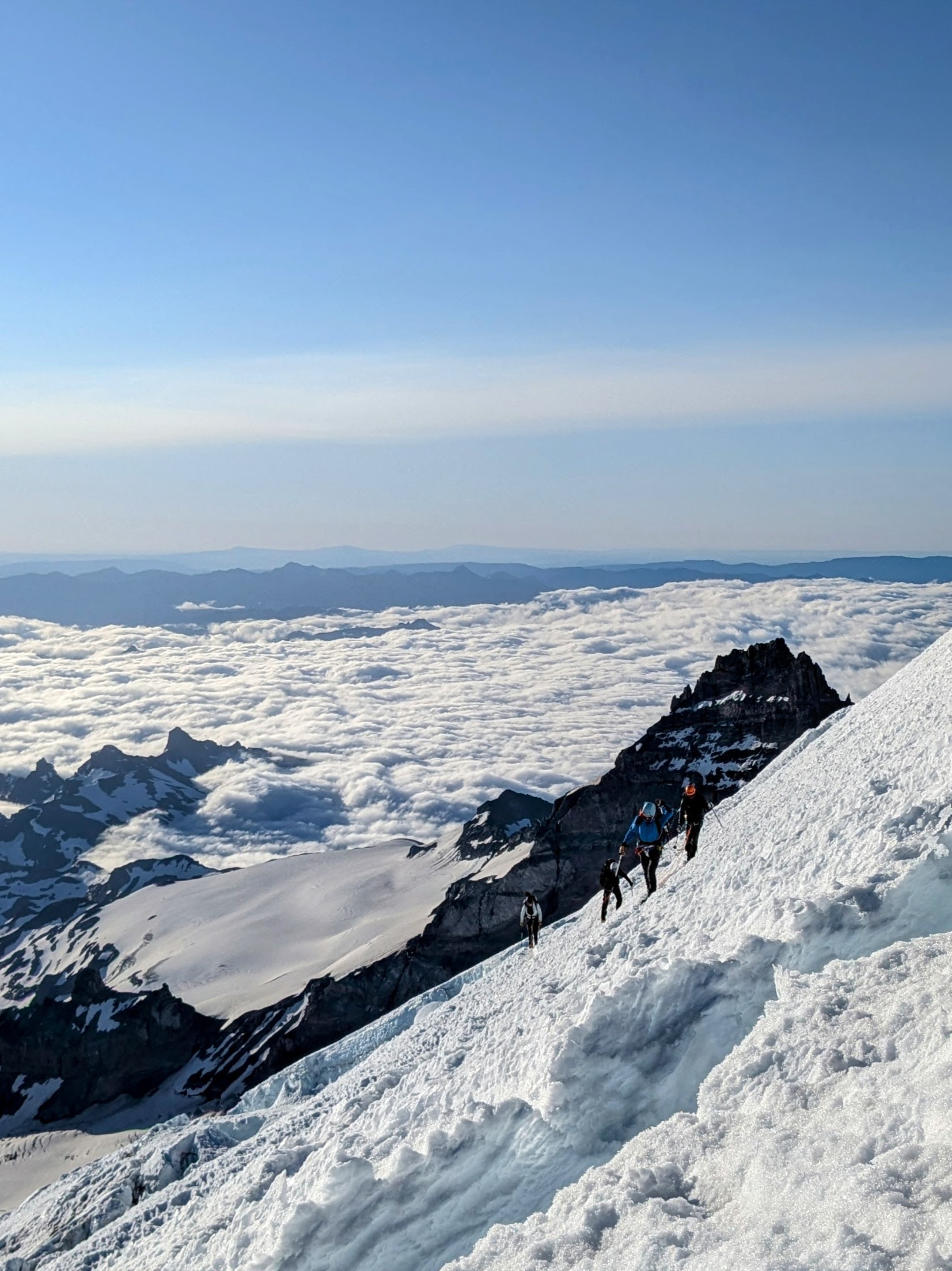
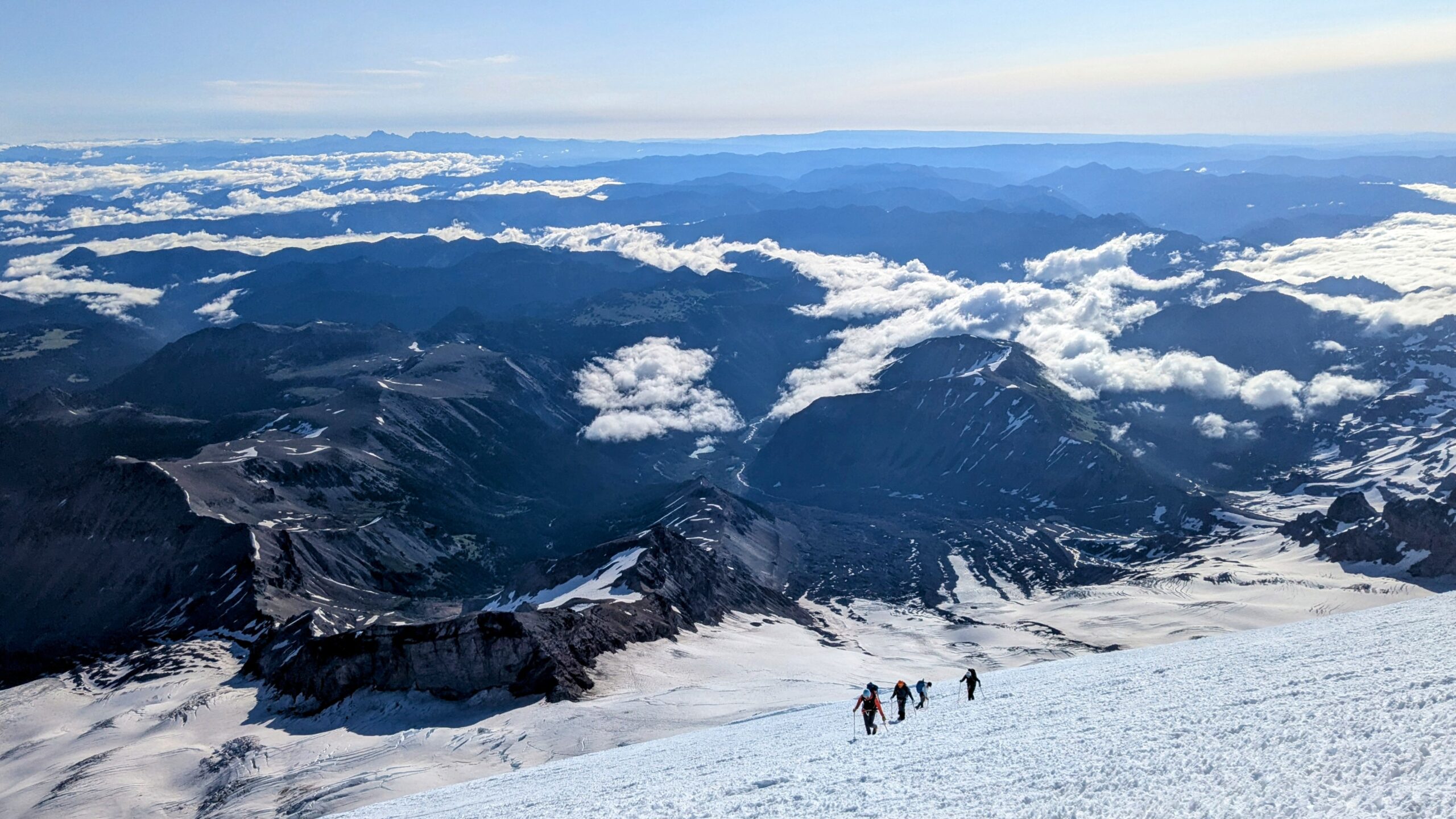
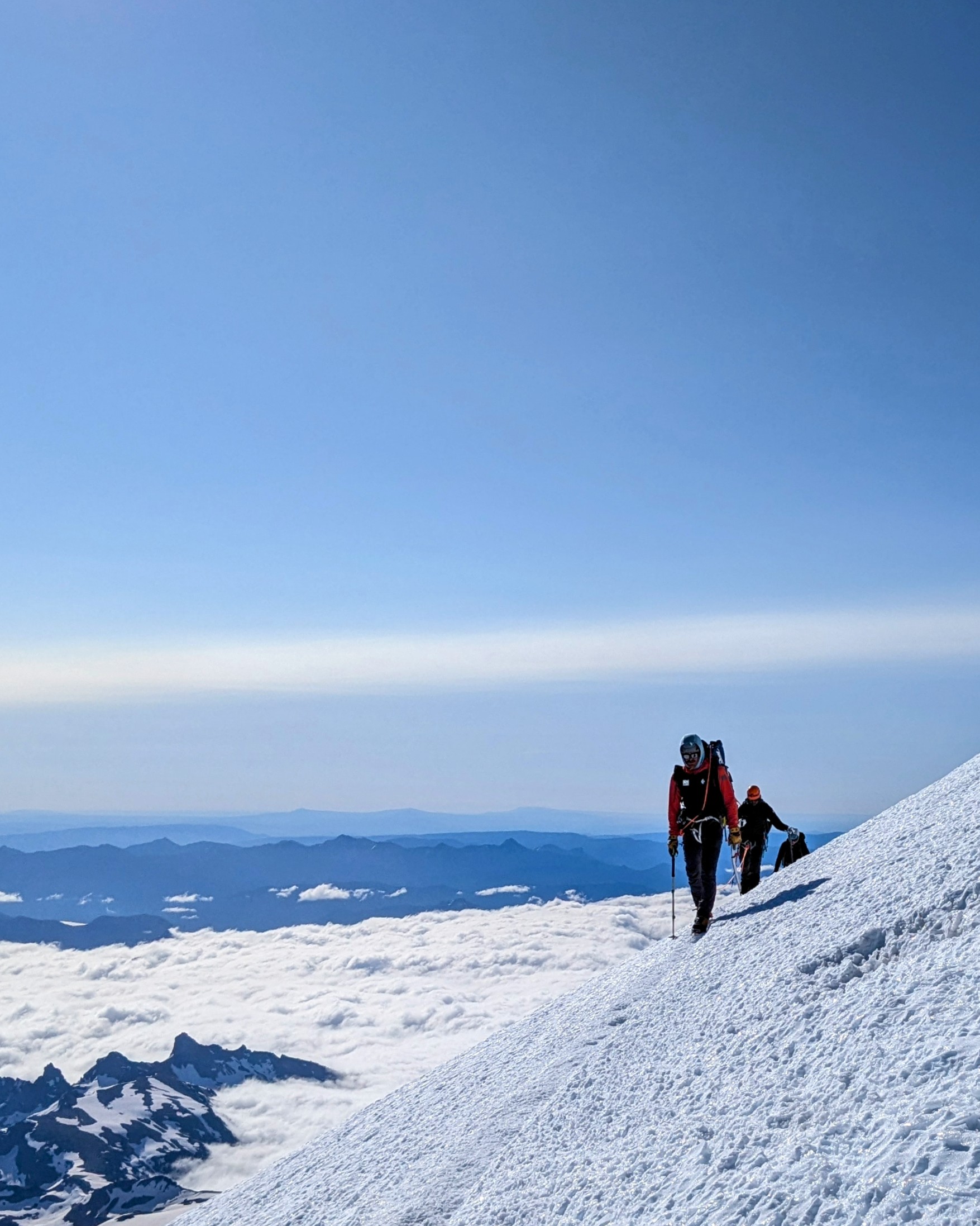
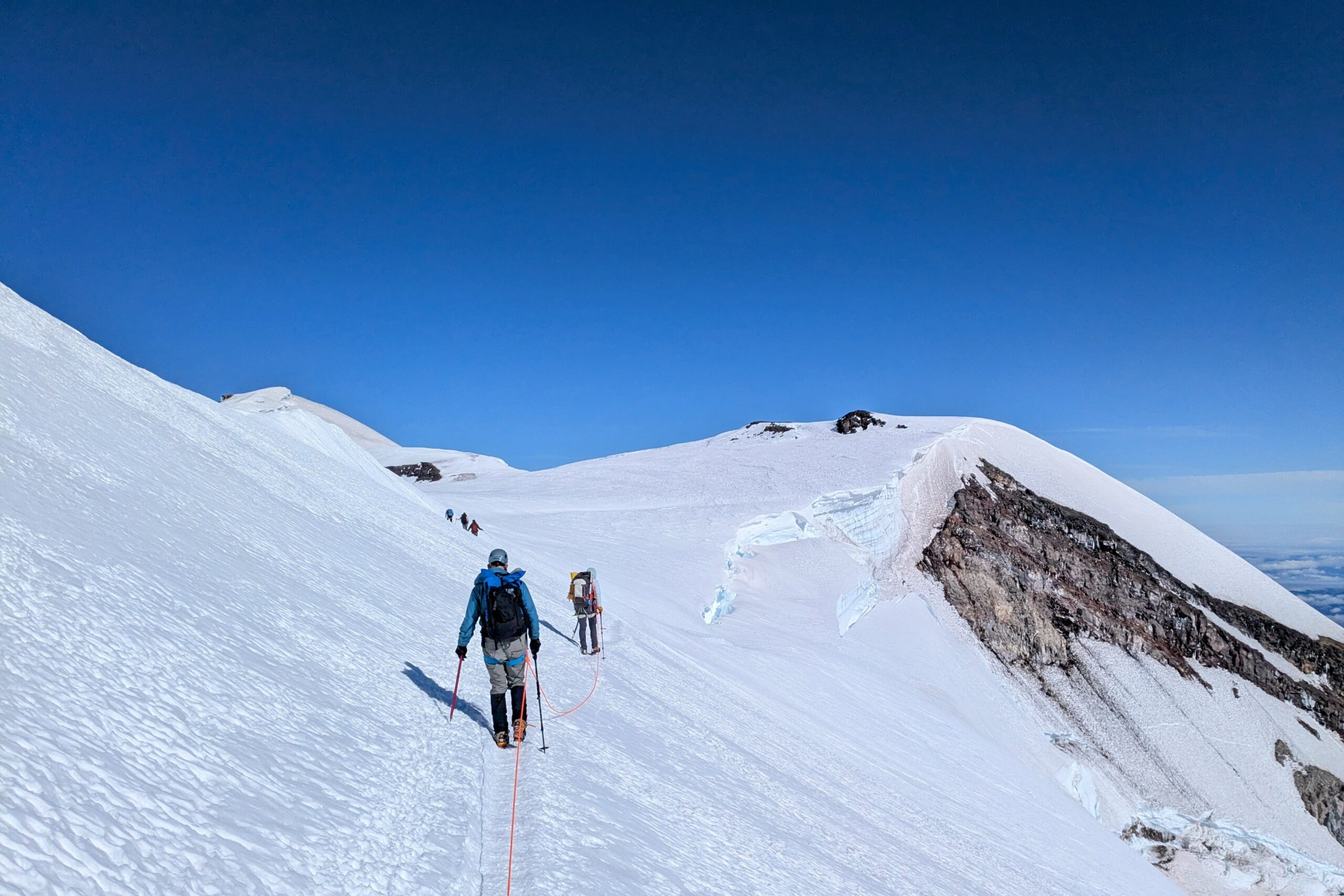
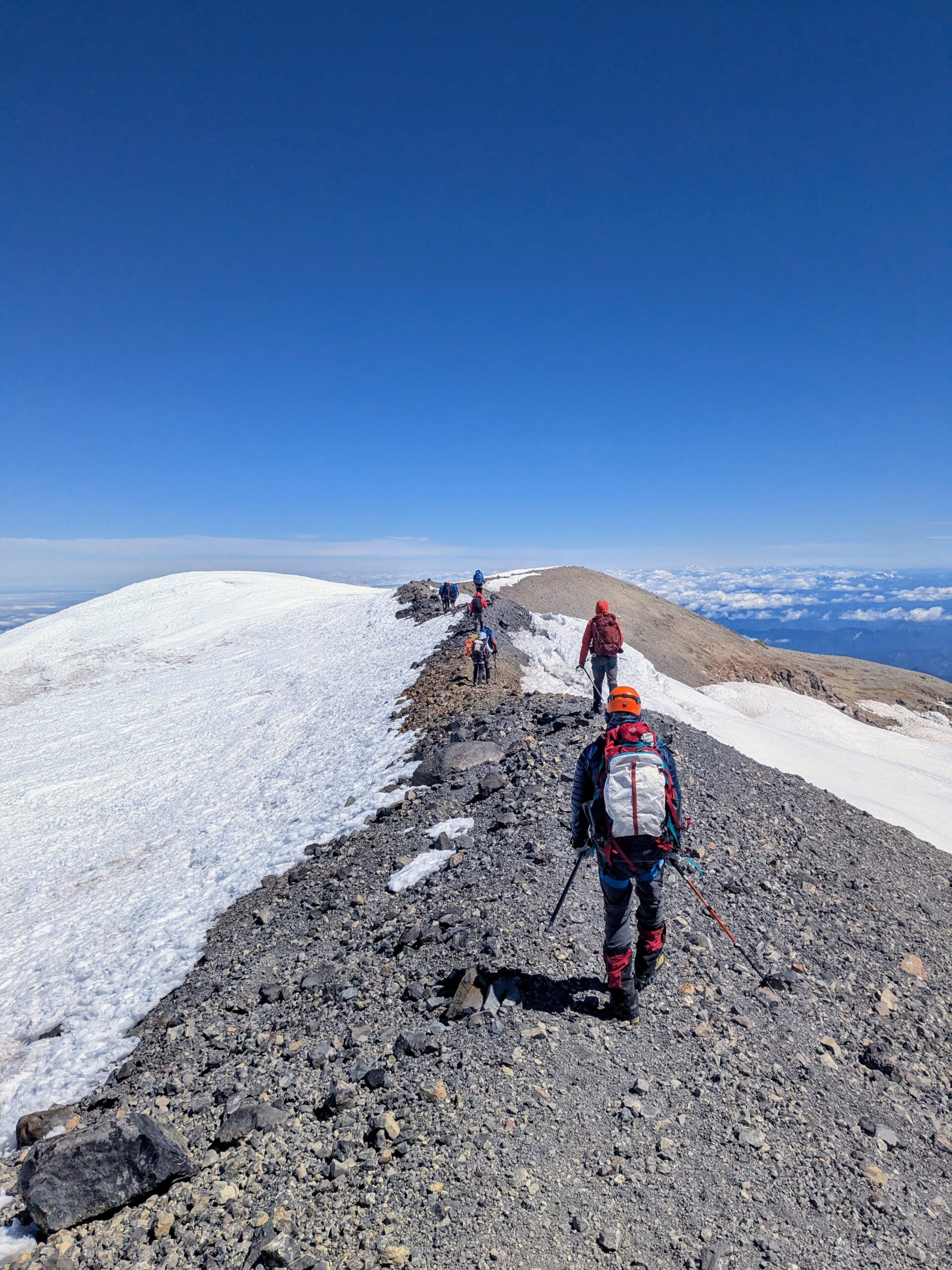
At the top you hit the crater rim and walk around the perimeter to the summit. The latter has actually changed the past few years; the summit registry book has even been moved. Traditionally the summit had been a permanently snow covered point known as Columbia Crest. However as the snow levels have declined that point has lost about 20ft over the past ~25 years. Recent surveying instigated by mountain guides confirmed that the current highest point is a rise on the crater rim that melts away to dirt over the summer. It is very non-descript itself but currently labeled by the extremely descriptive title of “The Dirt Bump.”
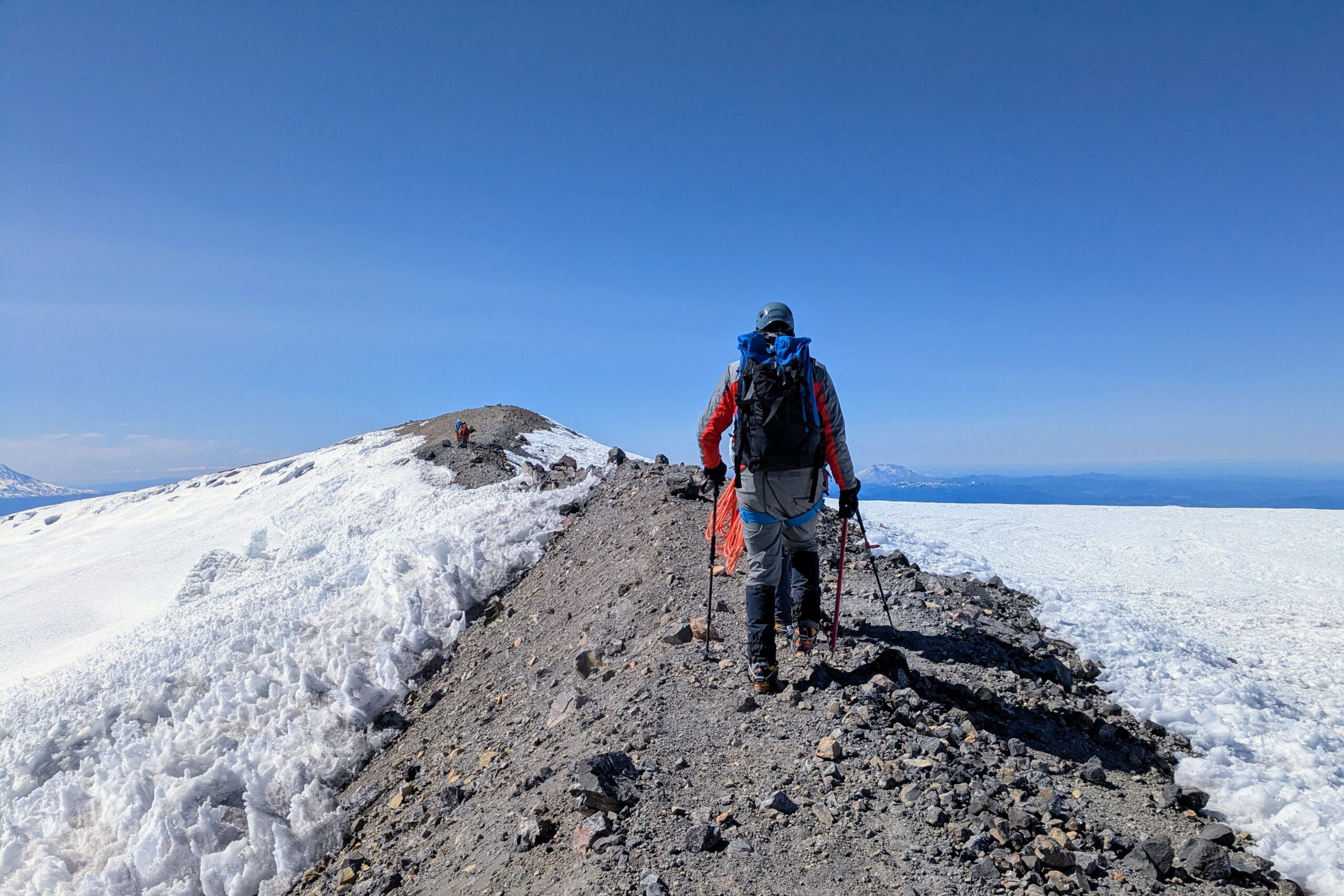
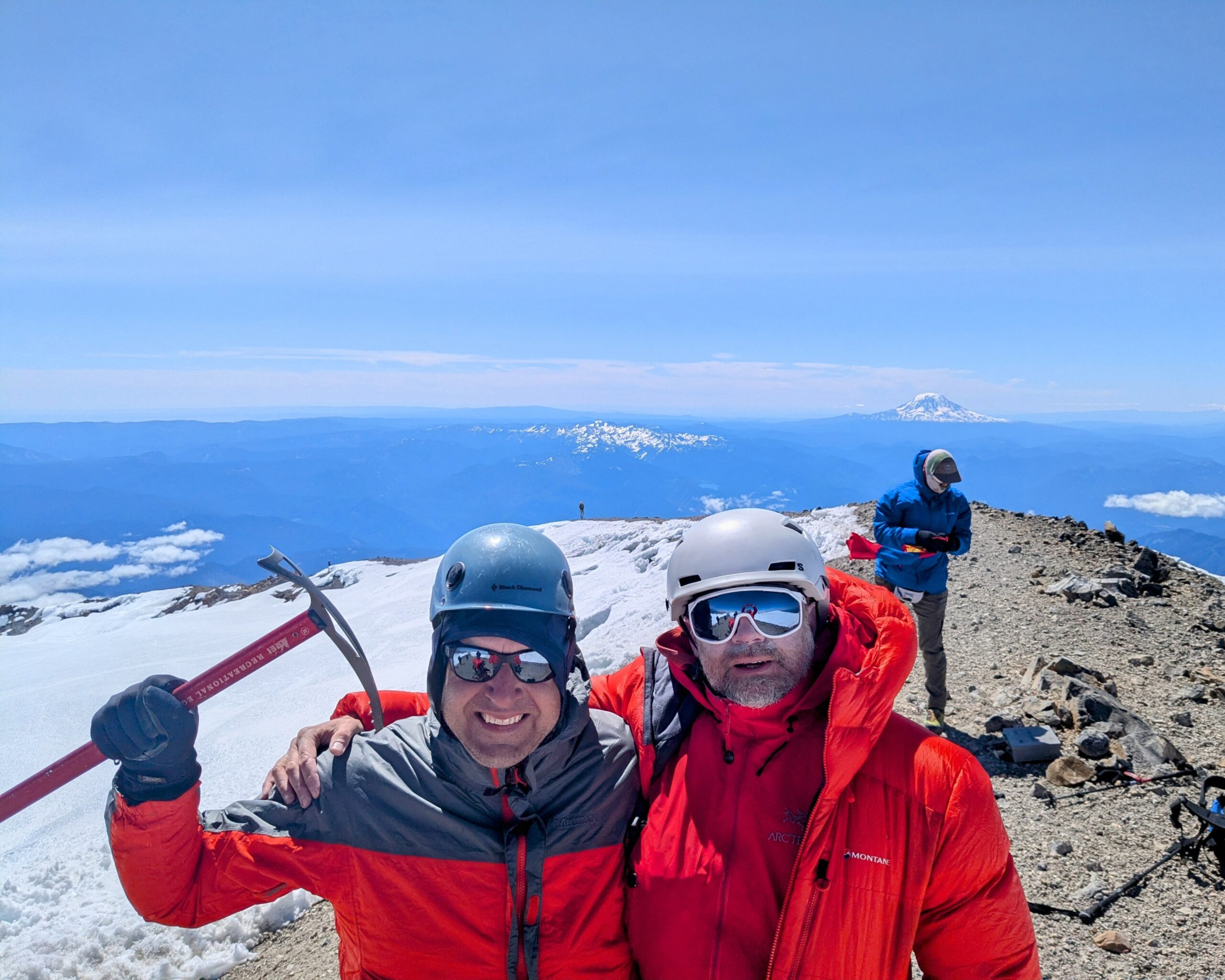
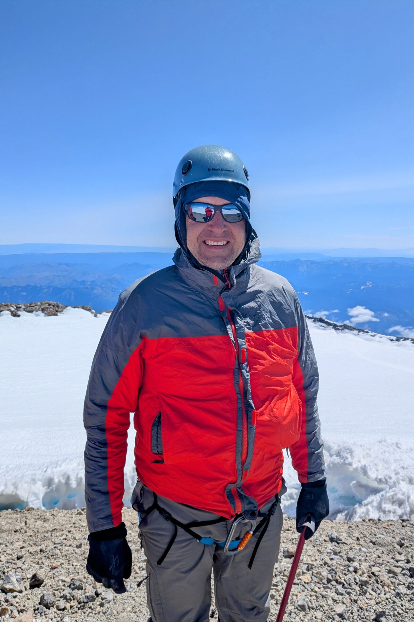
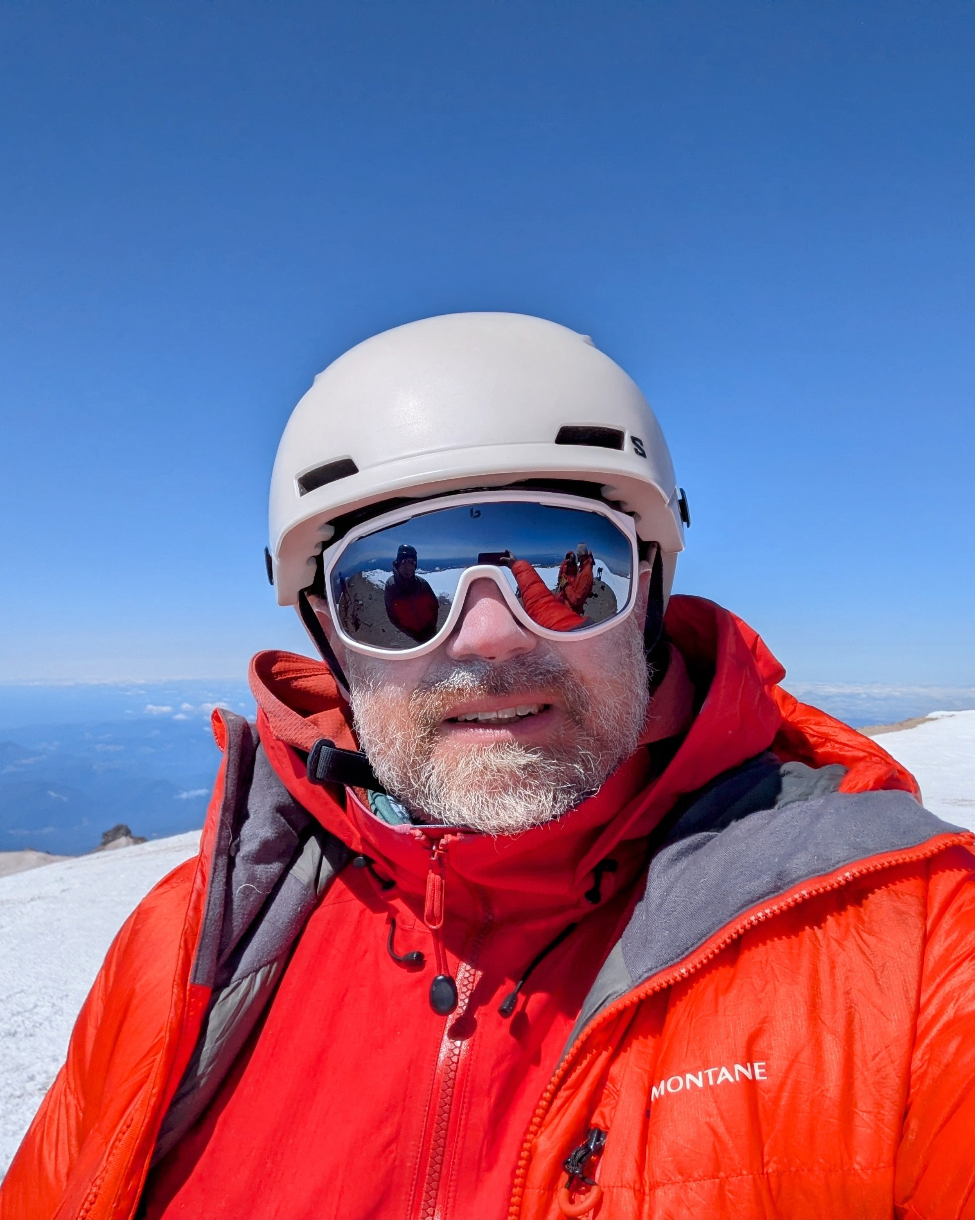
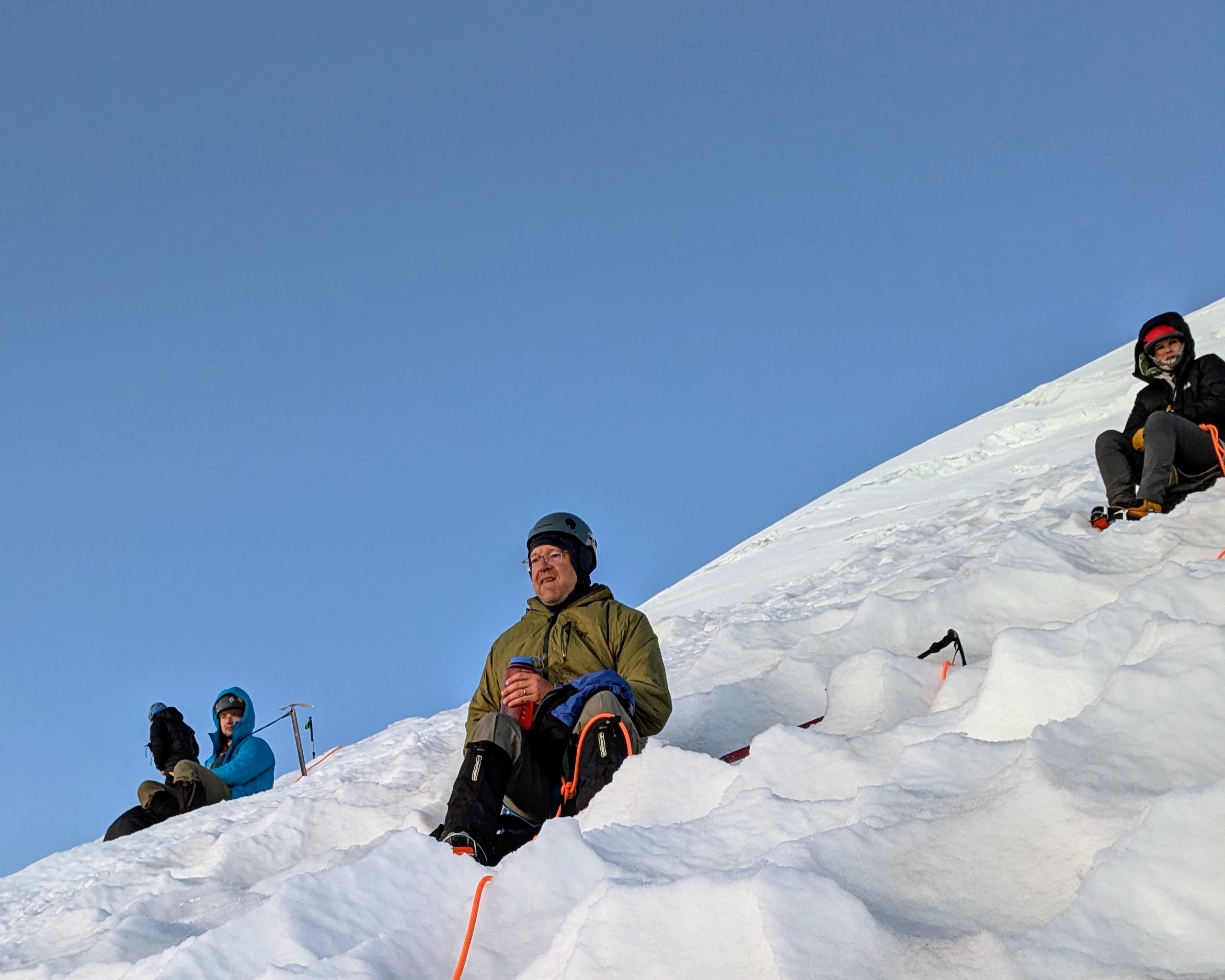
Winds at the top were strong enough to be fine on the move but not pleasant to stand around in, about 35mph. Fortunately you could shelter just below the lip of the crater for a very calm and comparatively warm hangout. We spent about an hour there, by far the longest I’ve ever stayed at a summit. The thing being done we then did what you do: Turn around and walk back down.
Not including the long summit break this day wound up a 10.5hr hike from camp to summit to camp, 7 hours of that being the 5000ft ascent.
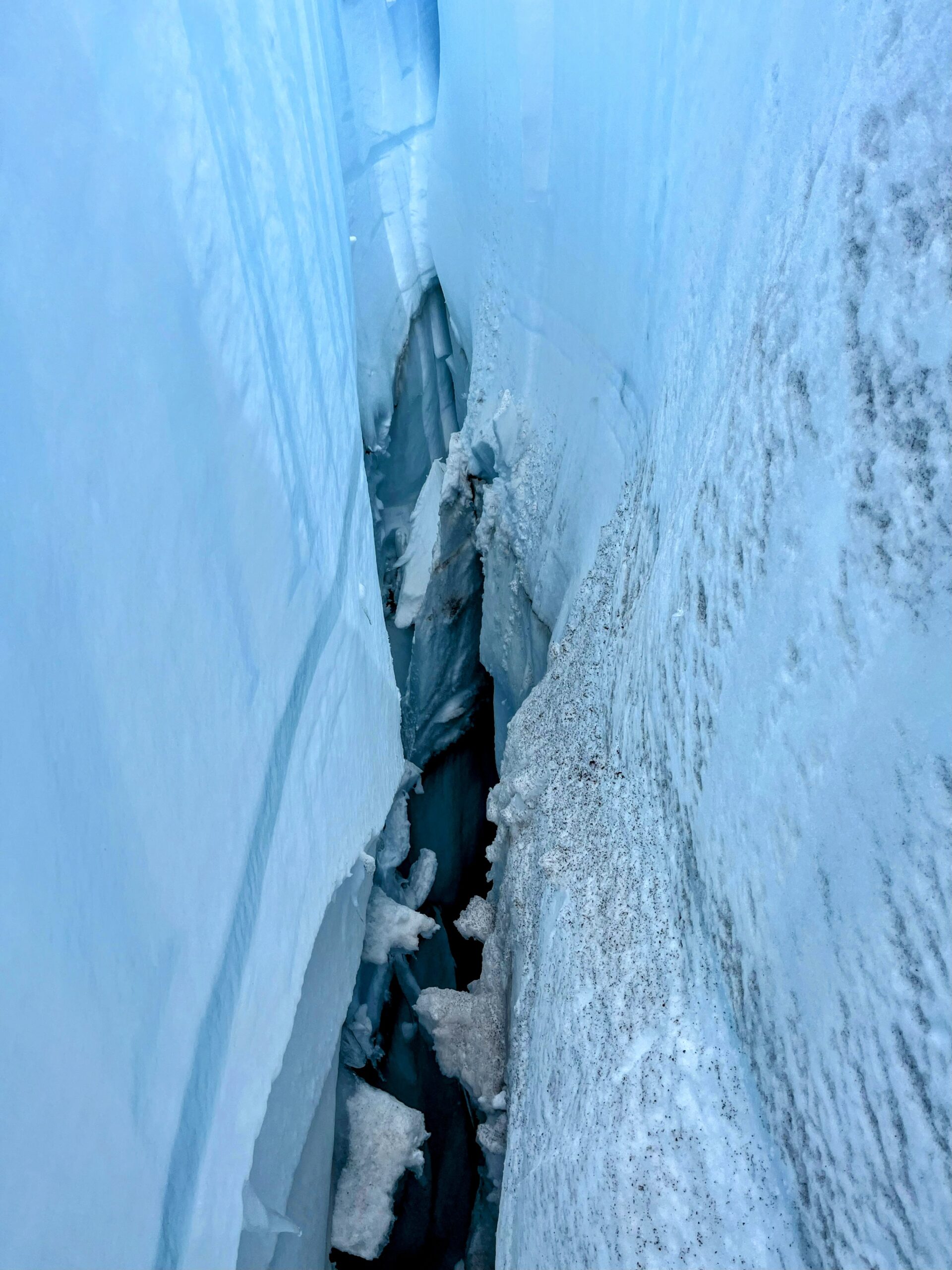
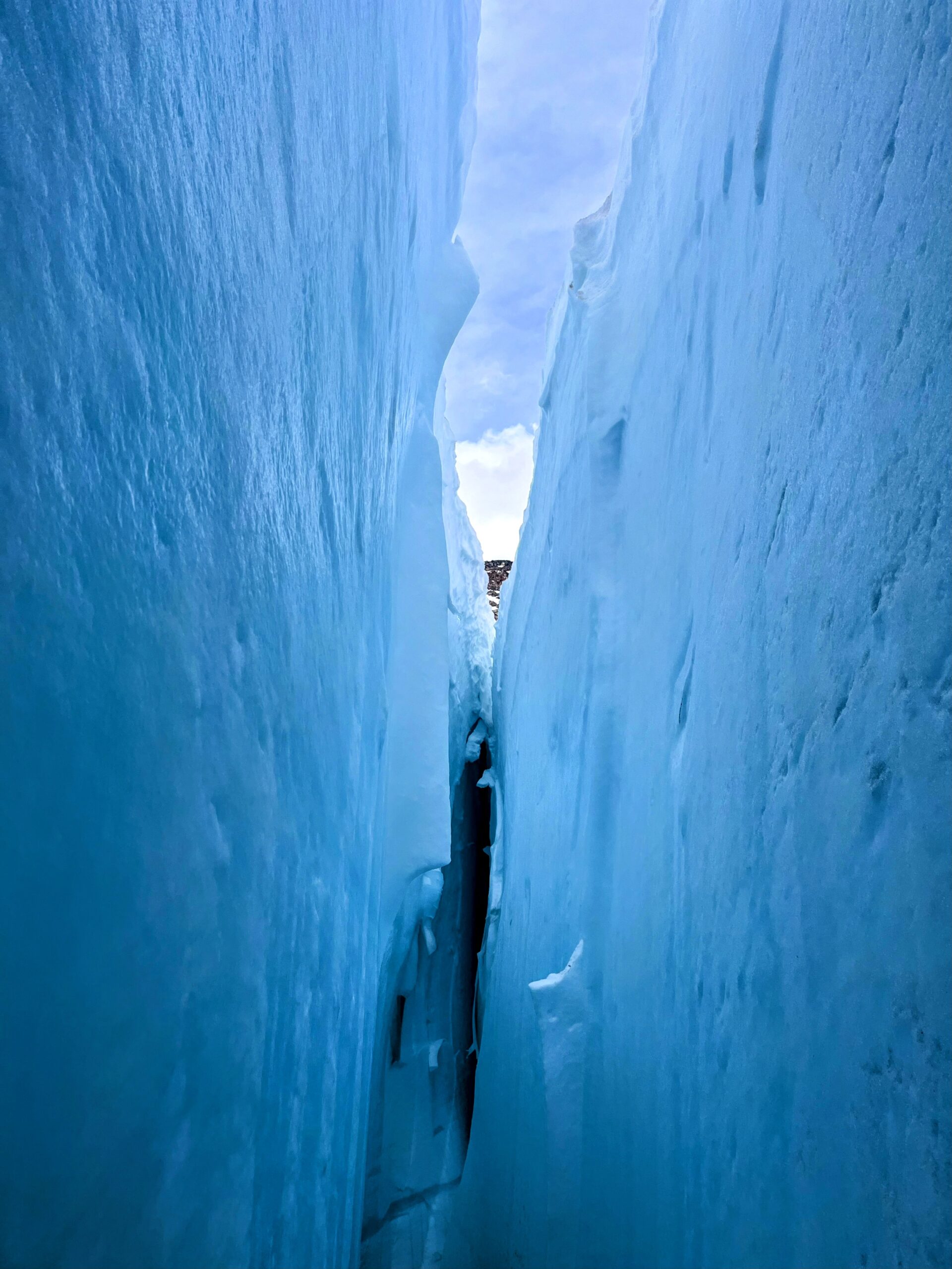
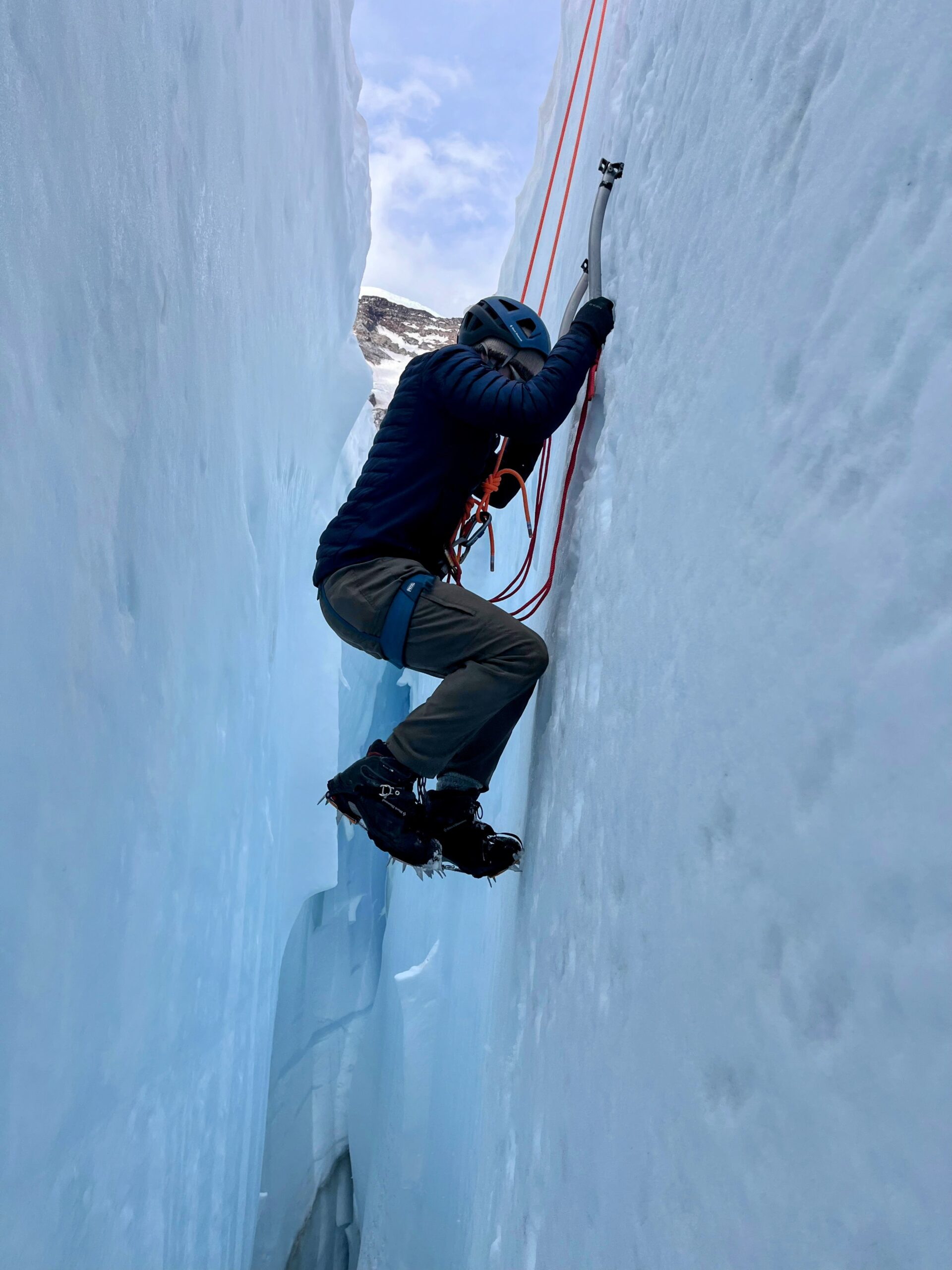
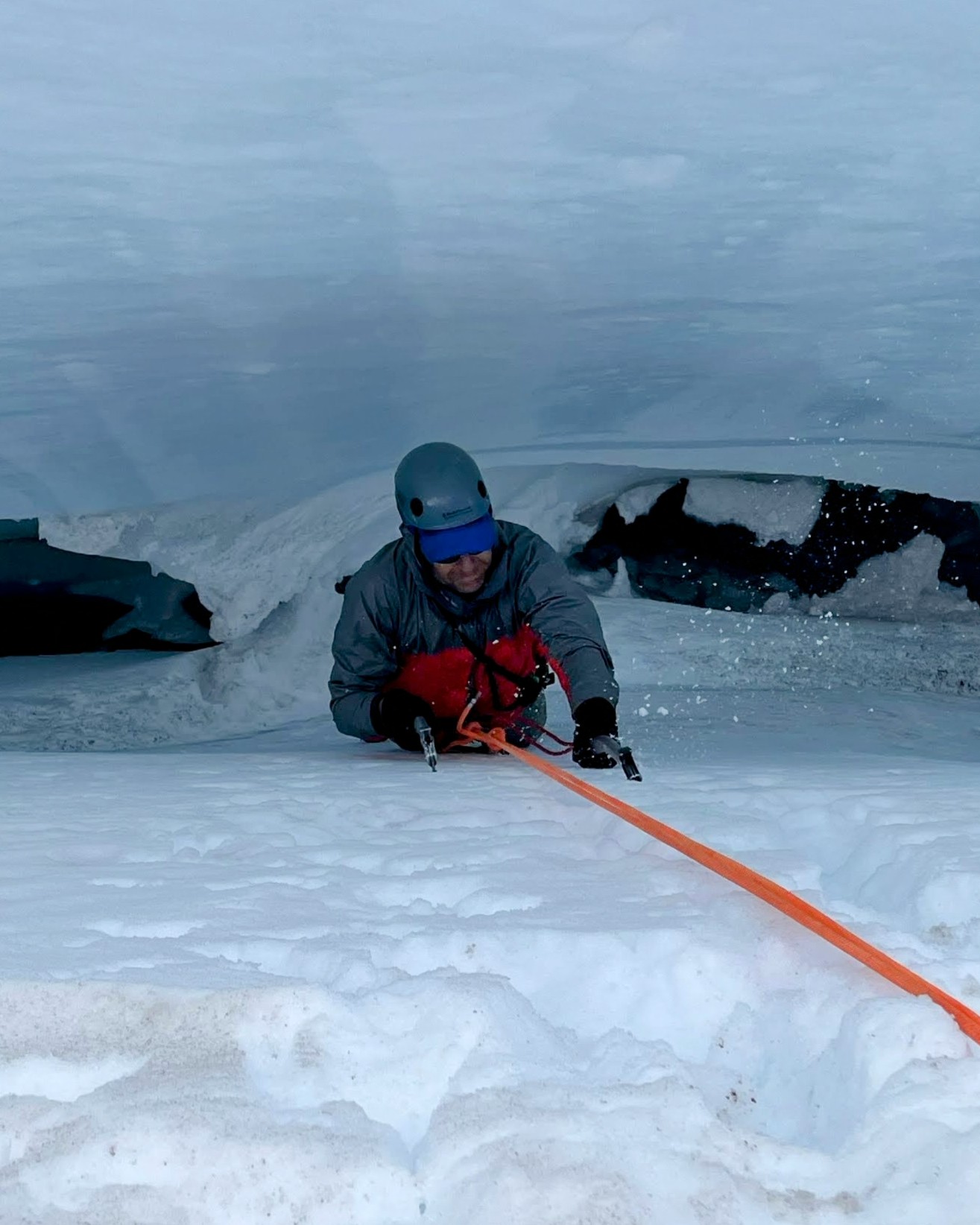
Being in no real rush to head home, the next morning we spent some time ice climbing in a crevasse near camp, decidedly a highlight of the trip.
This whole experience is super different from ice climbing in New England, e.g., the ice climbing I’ve done in the White Mountains (NH), which of necessity happens in winter. For one it’s not bitterly cold when you’re not climbing, and you’re not getting doused in near-freezing meltwater while climbing. The glacier near the surface, at least at this point in the year, is also much softer than the waterfall ice you climb in the northeast. Picks and crampons go in deeper and easier, but they also rip out. You can’t hang on the axes as hard as you can in waterfall ice, the snow collapses.
Photos here from inside the crevasse are by Tommy (fellow climber) and Dustin (lead guide). Pictured making their way up are Kent, who had not done this before, and Paul, who has done some ice climbing in the Catskills (NY). My phone’s kind of tricky to get out of my climbing pants with gloves on (usually I keep it very accessible in a shoulder holster on my pack) so I didn’t want to mess around with it on the ropes and potentially lose it down the crevasse.
Earlier in the trip, coming off the Inter/Emmons ridge down climb, another person in our group did have a water bottle bounce out of their pack. It was in the side pockets which they generally should not be in this kind of terrain. It rolled a bit, slid a bit, rolled a bit more, then picked up speed and zoomed into a crevasse, plinking off the sides as it went down. They’ll get it back in a thousand years. (or when the glacier melts away)
The hike home goes all the way from Camp Schurman to the trailhead, about 4.5 hours. As usual, going up the rock ridge between the Emmons and Inter glaciers is a lot more straightforward than going down, but still very precarious feeling for many people.
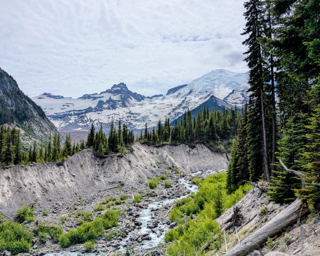
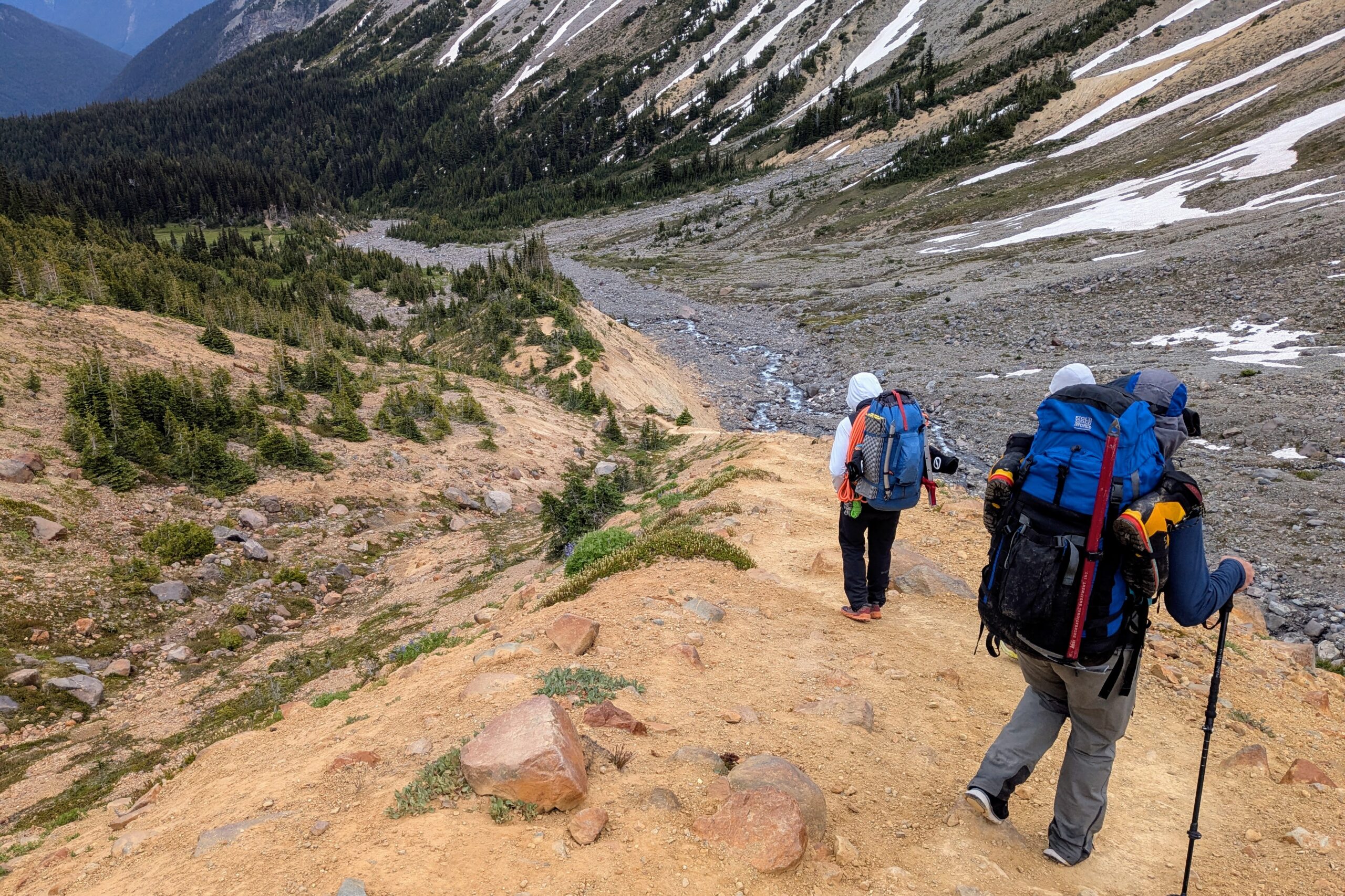
The boundary between the Inter glacier and the forest is a neat section of sand and scrub alongside the moraine and runoff creek. It does take some care though: You’re spent, it’s steep, the footing very loose, and once off the snow many people switch to trail running or similar footwear that’s much more casual and less supportive than the mountain boots you’ve been in all the past few days (I use hiking boots for the ankle support). All of our group’s notable falls this trip came here, a mere few hour from the end, with a couple good bruises and at least one broken trekking pole.
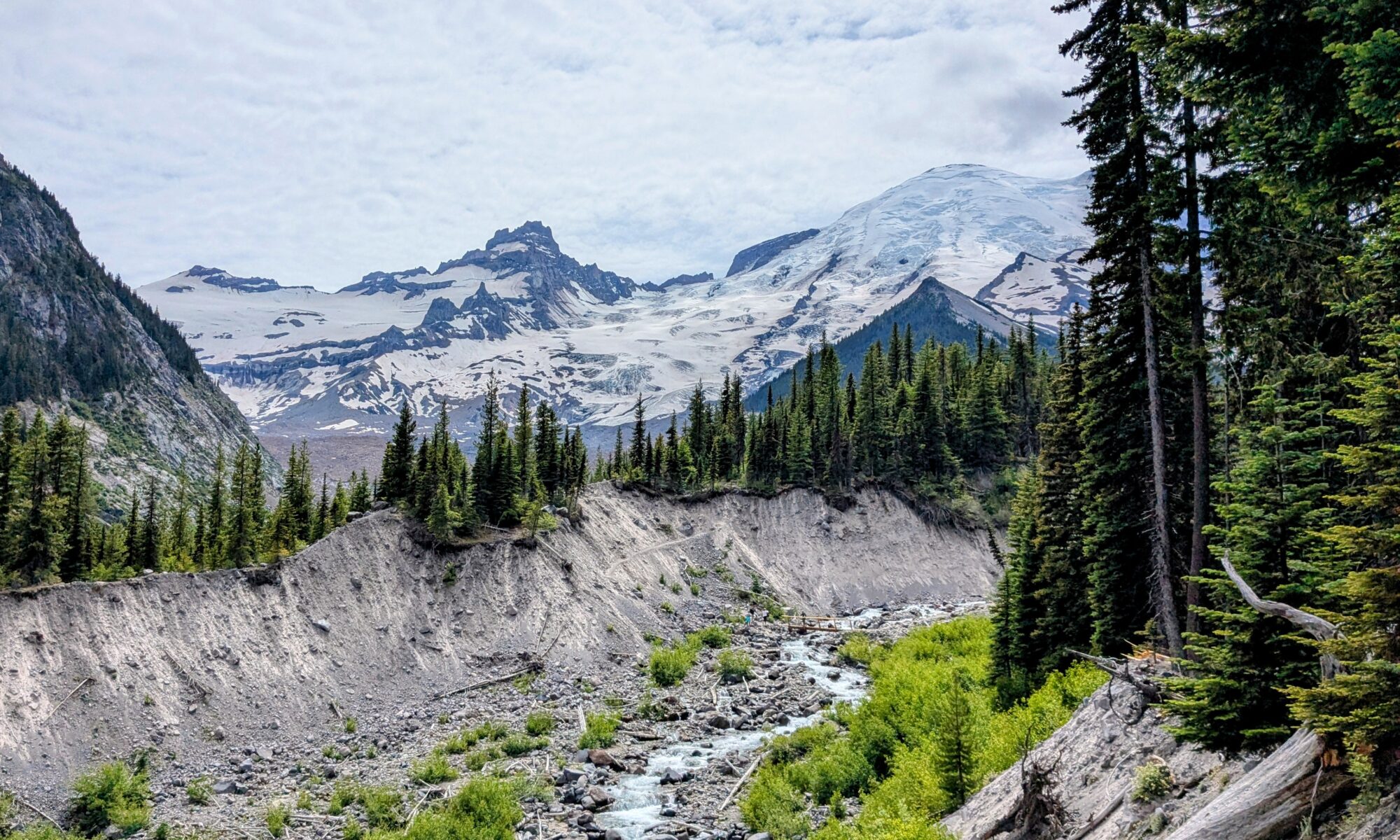
Last view of nearly the whole adventure on the way out.